Click to visit the main New York Public Library Homepage
The New York Public Library
Digital Collections
About Digital Collections
Browse
Search only public domain materials
Items
Collections
Divisions
Home
Search
Browse
About
Search only public domain materials
Items
Collections
Divisions
Digital Collections
Using Images
Using Data
Collections
Charting America: Maps from the Lawrence H. Slaughter Collection and Others
Charting America: Maps from the Lawrence H. Slaughter Collection and Others
Navigation
Filters
Charting America: Maps from the Lawrence H. Slaughter Collection and Others
Previous
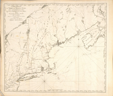
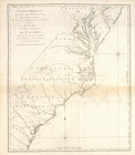
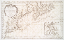
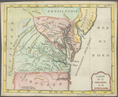
The south part of Virginia, now the north part of Carolina
0
Atlases, gazetteers, guidebooks and other books
377
Maps of the World
16
Maps of the Oceans
24
Maps of North and South America
23
Maps of North America.
551
Maps of New York City and State
1340
Lawrence H. Slaughter Collection of English maps, charts, globes, books and atlases
1020
John H. Levine Collection
60
More
Show filters
Hide filters
Show Only Public Domain
topic
Geography
35
Colonies
10
Atlases
8
Maps in education
6
Nautical charts
6
More
Less
name
Coignet, Michel, 1549-1623
27
Ortelius, Abraham, 1527-1598
27
Shawe, James
27
Thornton, Samuel
27
Moll, Herman, -1732
9
More
Less
collection
Lawrence H. Slaughter Collection of English maps, charts, globes, books and atlases
70
Atlases, gazetteers, guidebooks and other books
35
John H. Levine Collection
6
Maps of the Oceans
4
Maps of New York City and State
2
More
Less
place
France
20
North America
16
Biscay, Bay of (France and Spain)
14
America
13
Great Britain
13
More
Less
genre
Maps
117
Nautical charts
27
Charts
1
Diagrams
1
publisher
Printed for Ieames Shawe, and are to be solde at his shoppe nigh Ludgate,
27
... Sold ... by Tho. Bowles, print and map-seller in St. Paul's-Churchyard
8
Chapman and Hall
5
P. Goos
3
Chez Brocas
2
More
Less
division
Map Division
118
type
cartographic
117
text
2
still image
1
Date Range
to
118 results found for:
New France?tab=filter
Sort by:
Relevance
Title
Date created
Date digitized
Sequence
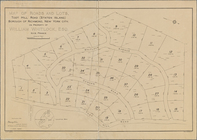
… of Richmond,
New
York City
use:
… partner (e.g.,
New
York
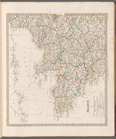
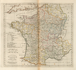
Map of
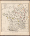
France
, Spain, and Portugal
use:
… partner (e.g.,
New
York
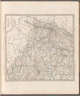
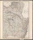
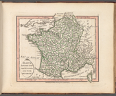
France
I
use:
… partner (e.g.,
New
York
France
II
use:
… partner (e.g.,
New
York
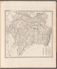
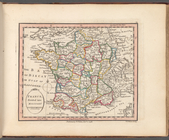
France
in provinces
use:
… partner (e.g.,
New
York
Ancient
France
or Gallia Transalpina
use:
… partner (e.g.,
New
York
France
III
use:
… partner (e.g.,
New
York
Tableau des courants observés…
use:
… partner (e.g.,
New
York
Carte pour servir à l'itinéra…
use:
… partner (e.g.,
New
York
France
, divided into circles and departments
use:
… partner (e.g.,
New
York
France
divided into one hundred and four
use:
… partner (e.g.,
New
York
France
, divided into military governments
use:
… partner (e.g.,
New
York
Carte réduite du Nord des Eta…
use:
… partner (e.g.,
New
York
Carte réduite du Sud des État…
use:
… partner (e.g.,
New
York
…'Armée combinée de
France
use:
… partner (e.g.,
New
York
Guyane, Terra ferme, Isles an…
use:
… partner (e.g.,
New
York
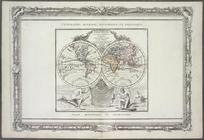
Mappe-monde : dressee pour l'…
use:
… partner (e.g.,
New
York
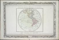
Hémisphère occidental.
use:
… partner (e.g.,
New
York
Carte réduite des côtes orien…
use:
… partner (e.g.,
New
York
Carte de la baye et riviere d…
use:
… partner (e.g.,
New
York
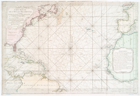
Carte réduite de l'Ocean occi…
use:
… partner (e.g.,
New
York
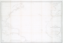
Chart of the Atlantic Ocean, …
use:
… partner (e.g.,
New
York
Carte reduite des costes orie…
use:
… partner (e.g.,
New
York
… forment la Nouvelle
France
use:
… partner (e.g.,
New
York
Carte reduite des mers compri…
use:
… partner (e.g.,
New
York
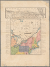
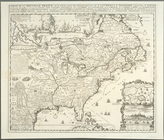
North America from the French…
use:
… partner (e.g.,
New
York
North America from the French…
use:
… partner (e.g.,
New
York
Carte du Canada ou de la Nouvelle
France
use:
… partner (e.g.,
New
York
Carte de la Louisiane cours d…
use:
… partner (e.g.,
New
York
m
A
new
map
use:
… partner (e.g.,
New
York
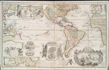
A
new
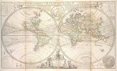
and correct map of the world, laid
use:
… partner (e.g.,
New
York
A
new
and correct map of the whole world
use:
… partner (e.g.,
New
York
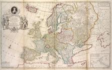
Map of Europe according to th…
use:
… partner (e.g.,
New
York
…,
France
, Holland, Denmark
use:
… partner (e.g.,
New
York
A
new
& exact map of the electorat of Brunswick
use:
… partner (e.g.,
New
York
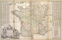
A
new
and exact map of
France
divided into all
use:
… partner (e.g.,
New
York
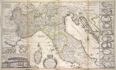
A
new
map of the upper part of Italy
use:
… partner (e.g.,
New
York
A
new
map of ye
use:
… partner (e.g.,
New
York
…
France
, que d'Espagne l
use:
… partner (e.g.,
New
York
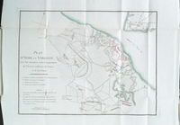
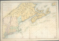
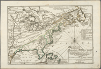
Carte de la Virginie et du Ma…
use:
… partner (e.g.,
New
York
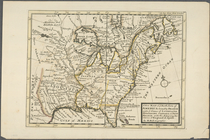
A
new
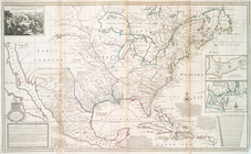
map of the English empire in America
use:
… partner (e.g.,
New
York
A
new
map of the English empire in America : …
use:
… partner (e.g.,
New
York
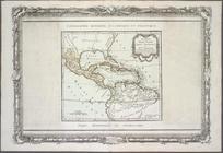
Carte nouvelle de l'Amerique …
use:
… partner (e.g.,
New
York
A
new
map
use:
… partner (e.g.,
New
York
Carte de la Nouvelle
France
use:
… partner (e.g.,
New
York
Le Canada, ou Nouvelle
France
, la Floride
use:
… partner (e.g.,
New
York
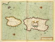
The sea coast of the Island S…
use:
… partner (e.g.,
New
York
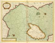
The sea coast of ITALY from c…
use:
… partner (e.g.,
New
York
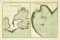
Bay of Touloun ; Bay of Marce…
use:
… partner (e.g.,
New
York
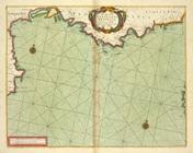
The sea coast of LANGUEDOC PR…
use:
… partner (e.g.,
New
York