

- The Library Shop
- Privacy Policy
- Rules and Regulations
- Using the Internet
- Website Terms and Conditions
- Gifts of Materials to NYPL
-
© The New York Public Library, 2024
The New York Public Library is a 501(c)(3) | EIN 13-1887440
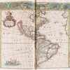
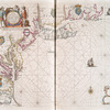
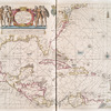
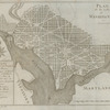
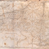
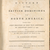
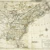
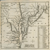
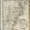
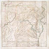
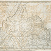
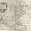
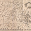
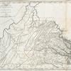
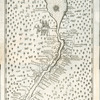
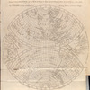
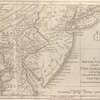
Lawrence H. Slaughter Collection of English maps, charts, globes, books and atlases
The New York Public Library. "Atlas terrestris, or, A book of mapps of all the empires, monarchies, kingdomes, regions, dominions, principalities, and countreys in the whole world : accomodated with a brief description of the nature and quality of each particular countrey" The New York Public Library Digital Collections. 1680. https://digitalcollections.nypl.org/items/de4141c0-c5d3-012f-ad54-58d385a7bc34
The New York Public Library. "Atlas terrestris, or, A book of mapps of all the empires, monarchies, kingdomes, regions, dominions, principalities, and countreys in the whole world : accomodated with a brief description of the nature and quality of each particular countrey" New York Public Library Digital Collections. Accessed April 26, 2024. https://digitalcollections.nypl.org/items/de4141c0-c5d3-012f-ad54-58d385a7bc34
The New York Public Library. (1680). Atlas terrestris, or, A book of mapps of all the empires, monarchies, kingdomes, regions, dominions, principalities, and countreys in the whole world : accomodated with a brief description of the nature and quality of each particular countrey Retrieved from https://digitalcollections.nypl.org/items/de4141c0-c5d3-012f-ad54-58d385a7bc34
<ref name=NYPL>{{cite web | url=https://digitalcollections.nypl.org/items/de4141c0-c5d3-012f-ad54-58d385a7bc34 | title=
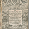
Atlas terrestris, or, A book of mapps of all the empires, monarchies, kingdomes, regions, dominions, principalities, and countreys in the whole world : accomodated with a brief description of the nature and quality of each particular countrey, (1680)
|author=Digital Collections, The New York Public Library |accessdate=April 26, 2024 |publisher=The New York Public Library, Astor, Lenox, and Tilden Foundations}}</ref>
