


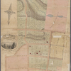
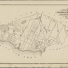
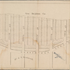
![Map of New Brighton, Staten Island [cartographic material] : 1st, 2nd and 3rd wards.](https://images.nypl.org/index.php?id=4030805&t=b)

- The Library Shop
- Privacy Policy
- Rules and Regulations
- Using the Internet
- Website Terms and Conditions
- Gifts of Materials to NYPL
-
© The New York Public Library, 2024
The New York Public Library is a 501(c)(3) | EIN 13-1887440
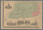
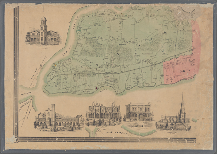
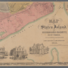
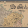
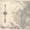
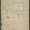
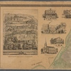
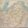
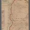
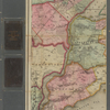
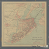
Lionel Pincus and Princess Firyal Map Division, The New York Public Library. "Map of Staten Island o Richmond County. 16 views of buildings on border. Also view of Elliottville the property of Dr. S. M. Elliott" The New York Public Library Digital Collections. 1853. https://digitalcollections.nypl.org/items/e7fbb6c0-1d5f-0131-6edb-58d385a7b928
Lionel Pincus and Princess Firyal Map Division, The New York Public Library. "Map of Staten Island o Richmond County. 16 views of buildings on border. Also view of Elliottville the property of Dr. S. M. Elliott" New York Public Library Digital Collections. Accessed April 26, 2024. https://digitalcollections.nypl.org/items/e7fbb6c0-1d5f-0131-6edb-58d385a7b928
Lionel Pincus and Princess Firyal Map Division, The New York Public Library. (1853). Map of Staten Island o Richmond County. 16 views of buildings on border. Also view of Elliottville the property of Dr. S. M. Elliott Retrieved from https://digitalcollections.nypl.org/items/e7fbb6c0-1d5f-0131-6edb-58d385a7b928
<ref name=NYPL>{{cite web | url=https://digitalcollections.nypl.org/items/e7fbb6c0-1d5f-0131-6edb-58d385a7b928 | title=
(cartographic)
Map of Staten Island o Richmond County. 16 views of buildings on border. Also view of Elliottville the property of Dr. S. M. Elliott, (1853)|author=Digital Collections, The New York Public Library |accessdate=April 26, 2024 |publisher=The New York Public Library, Astor, Lenox, and Tilden Foundations}}</ref>