Click to visit the main New York Public Library Homepage
The New York Public Library
Digital Collections
About Digital Collections
Browse
Search only public domain materials
Items
Collections
Divisions
Home
Search
Browse
About
Search only public domain materials
Items
Collections
Divisions
Digital Collections
Using Images
Using Data
Search
Filtered keyword search
Show filters
Hide filters
Show Only Public Domain
topic
Real property
1076
City planning
5
Administrative and political divisions
4
Streets
3
Bridges
2
More
Less
name
G.W. Bromley & Co
1075
Bromley, George Washington
95
Bromley, Walter Scott
95
Haffen, Louis F., 1854-1935
2
Lindenthal, Gustav, 1850-1935
2
More
Less
collection
Atlases of New York City
1075
Maps of New York City and State
14
place
x
Manhattan (New York, N.Y.)
New York (State)
1088
New York
890
New York (N.Y.)
204
Bronx (New York, N.Y.)
6
More
Less
genre
x
Maps
Index maps
23
Indexes
6
Outline maps
5
Cadastral maps
1
More
Less
publisher
G.W. Bromley & Co
1075
publisher not identified
3
A. R. Ohman Map Co., H.B. Petersen, Daughtsmen & Engravers,
1
A.C. Austin Eng. Co
1
Health Dept. ; A.M. Photo-Lithographic Co., N.Y
1
More
Less
division
Map Division
1089
type
cartographic
1089
text
7
still image
1
Date Range
to
1,089 results found for:
x
N. Y. Eng. Co
Filtering on:
x
Genre
: Maps
x
Place
: Manhattan (New York, N.Y.)
Sort by:
Relevance
Title
Date created
Date digitized
Sequence
… ; R. D. Servoss,
Eng
'r,
N
.
Y
.
note:
…"Copyright 1893, by the New York History
Co
."…
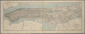
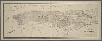
Map of that part of the city …
note:
…ʹ32ʺ/
N
40°52ʹ41ʺ--
N
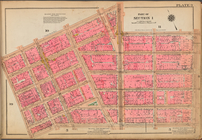
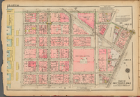
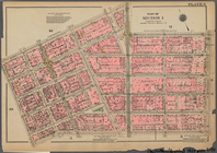
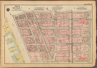
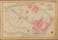
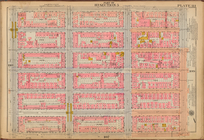
Plate 9: [Bounded by N. Moore…
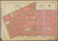
Plate 9, Part of Section 1: […
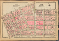
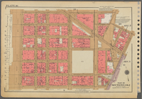
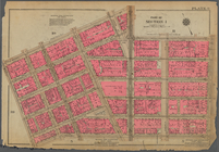
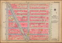
Plate 10, Part of Sections 1 …
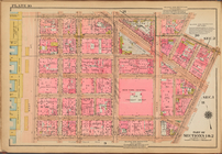
Plate 10: [Bounded by Watts S…
Plate 9, Part of Section 1: […
Plate 10, Part of Sections 1 …
Bounded by
N
. Moore Street, West Broadway
Plate 9, Part of Section 1: […
… Broadway,
N
. Moore Street
Plate 10, Part of Sections 1 …
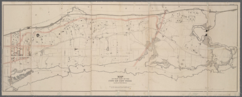
A topographical map of the north.
n
part of New York
note:
…. Austin
Eng
.
Co
. Albany
N.Y
."…
…,
Eng
.
note:
…ʹ29ʺ/
N
40°54ʹ36ʺ--
N
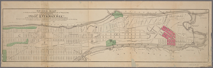
Guide map to 92 acres of land…
note:
… 73°58ʹ56ʺ--W 73°54ʹ34ʺ/
N
40°52ʹ42ʺ--
N
40°47ʹ24ʺ)…
Map of the 23rd and 24th ward…
note:
… 73°42ʹ59ʺ/
N
40°54ʹ56ʺ--
N
New-York City, County, and vi…
note:
… Jones &
Co
., 1864.
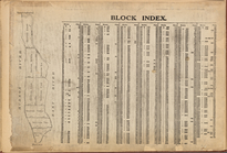
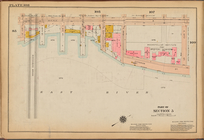
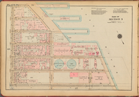
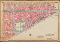
Block Index
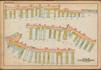
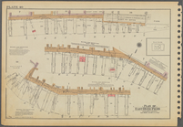
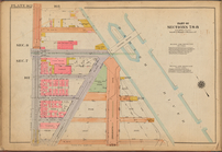
Plate 40: Plan of East River …
Plate 39: Plan of Hudson Rive…
Plate 39: Plan of Hudson Rive…
Plate 40: Plan of East River …
Plate 39: Plan of Hudson Rive…
Plate 40: Plan of East River …
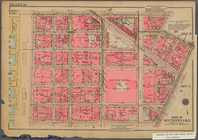
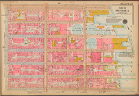
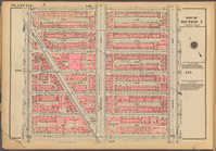
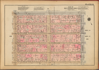
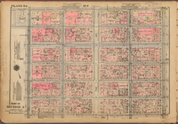
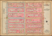
Plate 5, Part of Section 1: […
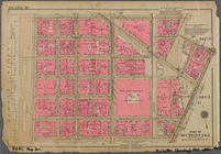
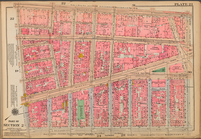
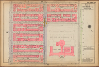
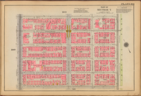
Plate 27: [Bounded by E. 14th…
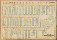
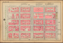
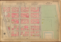
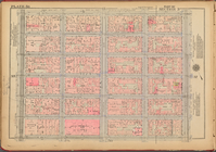
Plate 108: [Bounded by Avenue…
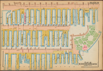
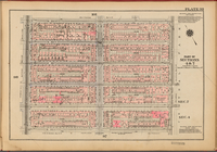
Plate 57: [Bounded by E. 32nd…
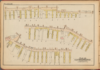
Plate 60, Part of Section 3: …
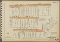
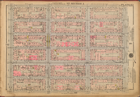
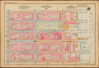
Plate 179: [Bounded by Broadw…
Plate 89: [Bounded by W. 71st…
Plate 134, Part of Section 7:…
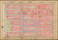
Plate 23: [Bounded by Broadwa…
Plate 113, Part of Section 5:…
Plate 162: [Bounded by W. 156…
Plate 65, Part of Sections 3 …
Plate 120: [Bounded by E. 100…
Plate 127, Part of Section 7:…
Plate 111: [Bounded by E. 77t…
Plate 46, Part of Section 3: …
Plate 84, Part of Section 5: …
Plate 48: [Bounded by W. 26th…
Plate 62: [Bounded by E. 37th…
Plate 45: [Bounded by E. 20th…
Plate 93: [Bounded by W. 83rd…
Plate 171: [Bounded by W. 178…
Plate 101: [Bounded by W. 105…
Plate 16: [Bounded by Broome …
Plate 56, Part of Section 3: …
Plate 99, Part of Sections 4 …
1
2
3
4
5
Previous
Next
1
2
3
4
5
Previous
Next