Click to visit the main New York Public Library Homepage
The New York Public Library
Digital Collections
About Digital Collections
Browse
Search only public domain materials
Items
Collections
Divisions
Home
Search
Browse
About
Search only public domain materials
Items
Collections
Divisions
Digital Collections
Using Images
Using Data
Search
Filtered keyword search
Show filters
Hide filters
Show Only Public Domain
topic
Real property
463
Maps
214
City planning
5
Administrative and political divisions
4
Local transit
4
More
Less
name
G.W. Bromley & Co
507
Bromley, George Washington
132
Bromley, Walter Scott
132
E. Robinson Co
86
Pidgeon, R. H. (Roger H.)
86
More
Less
collection
Atlases of New York City
629
Atlases of the United States
15
Maps of New York City and State
15
Report of the Council of hygiene and public health of the Citizens' Association of New York upon the sanitary condition of the city
1
place
x
New York (N.Y.)
New York (State)
470
Bronx (New York, N.Y.)
315
Manhattan (New York, N.Y.)
204
New York
95
More
Less
genre
x
Maps
Atlases
15
Topographic maps
15
Index maps
14
Indexes
6
More
Less
publisher
G.W. Bromley & Co
503
E. Robinson Co
86
M.B. Brown Printing & Binding Co.,
36
Julius Bien & Co
15
G. W. Bromley & Co
4
More
Less
division
Map Division
659
General Research Division
1
type
cartographic
656
text
12
still image
1
Date Range
to
660 results found for:
x
N. Y. Eng. Co
Filtering on:
x
Genre
: Maps
x
Place
: New York (N.Y.)
Sort by:
Relevance
Title
Date created
Date digitized
Sequence
Mapa de la ciudad de Nueva York
y
sus
note:
…
y
Guia Hispano
… ; R. D. Servoss,
Eng
'r,
N
.
Y
.
note:
…"Copyright 1893, by the New York History
Co
."…
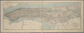
Map of that part of the city …
note:
…ʹ32ʺ/
N
40°52ʹ41ʺ--
N
…
N
., Van Cortlandt
Plate 9, Part of Section 1: […
Plate 10, Part of Sections 1 …
m
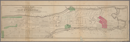
New guide map of New York Cit…
note:
… 73°54ʹ25ʺ/
N
40°52ʹ55ʺ--
N
m
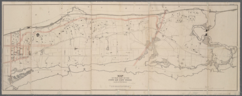
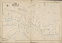
Driving road chart of the cou…
note:
…, and radial distances from
N.Y
…,
Eng
.
note:
…ʹ29ʺ/
N
40°54ʹ36ʺ--
N
Guide map to 92 acres of land…
note:
… 73°58ʹ56ʺ--W 73°54ʹ34ʺ/
N
40°52ʹ42ʺ--
N
40°47ʹ24ʺ)…
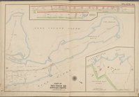
Map of the 23rd and 24th ward…
note:
… 73°42ʹ59ʺ/
N
40°54ʹ56ʺ--
N
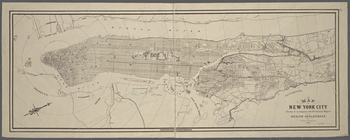
New-York City, County, and vi…
note:
… Jones &
Co
., 1864.
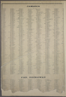
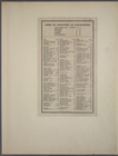
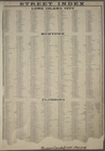
STREET INDEX: Jamaica -- Far …
Index to Localities and Sub-D…
STREET INDEX: Long Island Cit…
Block Index, Volume One
Block Index
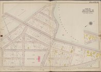
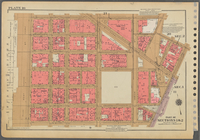
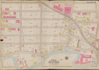
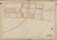
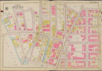
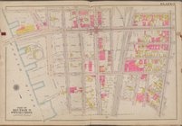
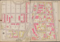
Plate 12 [Map bounded by Sout…
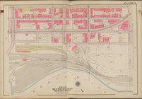
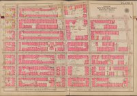
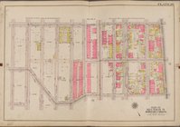
Plate 43 [Map bounded by Pars…
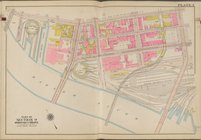
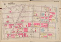
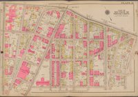
Plate 44 [Map bounded by Long…
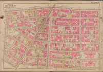
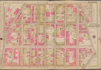
Plate 45 [Map bounded by Long…
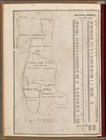
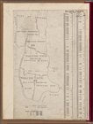
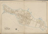
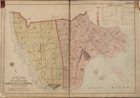
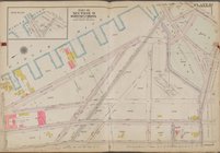
Outline and Index Map, Sectio…
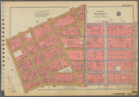
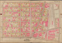
Plate 1 [Map bounded by E. 13…
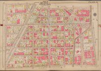
Plate 2 [Map bounded by E. 13…
Plate 3 [Map bounded by E. 13…
Plate 4 [Map bounded by E. 14…
Plate 5 [Map bounded by E. 14…
Plate 6 [Map bounded by E. 14…
Plate 7 [Map bounded by Dater…
Plate 8 [Map bounded by E. 14…
Plate 9 [Map bounded by E. 15…
Plate 10 [Map bounded by Harl…
Plate 11 [Map bounded by Gera…
Plate 12 [Map bounded by E. 1…
Plate 13 [Map bounded by E. 1…
Plate 14 [Map bounded by E. 1…
Plate 15 [Map bounded by W. 1…
Plate 16 [Map bounded by W. 1…
Plate 17 [Map bounded by Wash…
Plate 18 [Map bounded by E. 1…
Plate 19 [Map bounded by E. 1…
Plate 20 [Map bounded by E. 1…
Plate 21 [Map bounded by E. 1…
Plate 22 [Map bounded by E. 1…
Plate 23 [Map bounded by E. 1…
Plate 25 [Map bounded by Whit…
Plate 26 [Map bounded by Daws…
Plate 27 [Map bounded by Hunt…
Plate 28 [Map bounded by Sout…
Plate 29 [Map bounded by Bron…
1
2
3
Previous
Next
1
2
3
Previous
Next