Click to visit the main New York Public Library Homepage
The New York Public Library
Digital Collections
About Digital Collections
Browse
Search only public domain materials
Items
Collections
Divisions
Home
Search
Browse
About
Search only public domain materials
Items
Collections
Divisions
Digital Collections
Using Images
Using Data
Search
Filtered keyword search
Show filters
Hide filters
Show Only Public Domain
topic
Real property
10
Landowners
7
Buildings
1
City planning
1
Coasts
1
More
Less
name
American Photo-Lithographic Company
1
Astor family
1
Astor, John Jacob, 1763-1848
1
Byrnes, Clara
1
Dyckman, Isaac
1
More
Less
collection
Maps of New York City and State
10
Collection of broadside real estate maps announcing auctions of lots in early 19th century New York City
1
Maps of property in the city of New York belonging to John J. Astor Esq
1
place
x
Manhattan (New York, N.Y.)
New York (State)
12
New York (N.Y.)
10
New York
8
Bronx (New York, N.Y.)
2
More
Less
genre
x
Cadastral maps
Maps
12
Manuscript maps
1
Manuscripts
1
publisher
publisher not identified
2
Am. Photo-Lithographic Co
1
Highland Beach Improvement Co
1
J. McIntyre Smith
1
Radbridge Company
1
More
Less
division
Map Division
11
No Division
1
type
cartographic
12
text
1
Date Range
to
12 results found for:
x
Colors
Filtering on:
x
Genre
: Cadastral maps
x
Place
: Manhattan (New York, N.Y.)
Sort by:
Relevance
Title
Date created
Date digitized
Sequence
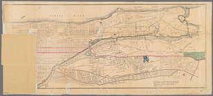
Map of New York City above 11…
note:
…
coloring
. The grand
m
Map of the City of New York n…
note:
Hand
colored
.
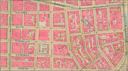
Mulberry Bend District. Map b…
m
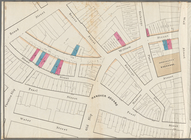
Property identification map o…
m
Map of New York City from Bat…
Property nos. 43, 45, and 47 …
Map of the City of New York: …
Land register map of the City…
m
Maps of property in the city …
abstract:
… with
color
washes
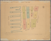
Block sketch 1679, New York C…
m
Map & plan of the contemplate…
collection:
…
colored
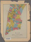
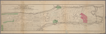
Guide map to 92 acres of land…
End of results
|
Top