Click to visit the main New York Public Library Homepage
The New York Public Library
Digital Collections
About Digital Collections
Browse
Search only public domain materials
Items
Collections
Divisions
Home
Search
Browse
About
Search only public domain materials
Items
Collections
Divisions
Digital Collections
Using Images
Using Data
Search
Filtered keyword search
Show filters
Hide filters
Show Only Public Domain
topic
Real property
227
Landowners
184
Real propery auctions
67
Administrative and political divisions
34
Railroads
17
More
Less
name
James Bleecker & Sons
34
Smith, Robert Pearsall, 1827-1898
16
Dripps, M. (Matthew)
8
Franklin & Jenkins
7
Coster, Henry A., 1758 or 1759-1820
6
More
Less
collection
Maps of New York City and State
179
Collection of broadside real estate maps announcing auctions of lots in early 19th century New York City
67
Maps of property in the city of New York belonging to John J. Astor Esq
1
place
x
New York (State)
New York
103
Manhattan (New York, N.Y.)
84
United States
67
New York (N.Y.)
25
More
Less
genre
x
Cadastral maps
Maps
247
Manuscript maps
15
Topographic maps
3
Bathymetric maps
2
More
Less
publisher
publisher not identified
31
J.B. Beers & Co
6
M. Dripps
5
J.H. French
4
Common Council
3
More
Less
division
Map Division
246
No Division
1
type
cartographic
246
still image
4
text
2
Date Range
to
247 results found for:
x
Maps
Filtering on:
x
Genre
: Cadastral maps
x
Place
: New York (State)
Sort by:
Relevance
Title
Date created
Date digitized
Sequence
m
Maps
of property in the city of New York
note:
… index,
map
of 277 Pearl Street),
map
leaves 1
Pencil sketch of Rochester, N…
note:
Mapping
the Nation (NEH grant, 2015-2018)…
m
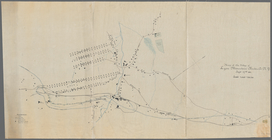
Brooklyn City Hall
abstract:
Cadastral
map
showing area surrounding
Map
of the village of Lyon Mountain, Clinton
note:
Mapping
the Nation (NEH grant, 2015-2018)…
m
Map
of Dunkirk
note:
Mapping
the Nation (NEH grant, 2015-2018)…
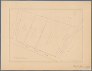
Rye Park: [New York]
note:
Map
shows streets names, lots
m
Upper Nyack
note:
Mapping
the Nation (NEH grant, 2015-2018)…
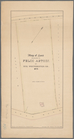
Map
of land belonging to Felix Astoin
note:
Mapping
the Nation (NEH grant, 2015-2018)…
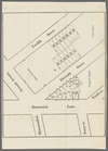
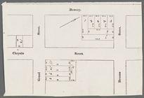
Bowery, Chrystie Street, Gran…
collection:
Collection of broadside real estate
maps
Map
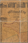
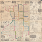
of Erie County, New York
note:
by Samuel Geil, author of
maps
of Niagara
Map
of lands in the town of Yonkers
note:
Mapping
the Nation (NEH grant, 2015-2018)…
Map
of Saratoga Springs, Saratoga Co., New
note:
Purchase; Boston Rare
Maps
, 96 Florian
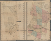
Town of Greenburgh, Westchest…
note:
Cadastral
map
showing cities and towns
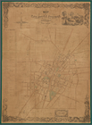
Map
of the village of Auburn
note:
Purchase; Boston Rare
Maps
; invoice date
Map
of Ogdensburgh
note:
this
map
of Ogdensburgh has been
m
Castle Ridge, Tarrytown, West…
note:
Map
shows blocks and lot numbers (some
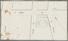
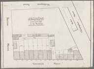
Broadway, Prince Street, Cros…
collection:
Collection of broadside real estate
maps
Hudson Street, Horatio Street…
collection:
Collection of broadside real estate
maps
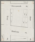
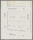
Greenwich Street, Troy Street…
collection:
Collection of broadside real estate
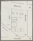
maps
Horatio Street, Hudson Street…
collection:
Collection of broadside real estate
maps
Gansevoort Street, 9th Avenue…
collection:
Collection of broadside real estate
maps
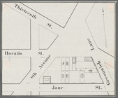
Jane Street, Eighth Avenue, T…
collection:
Collection of broadside real estate
maps
Thirteenth Street, Greenwich …
collection:
Collection of broadside real estate
maps
m
Lands of the Harlaem Canal Co…
collection:
Maps
of New York City and State
m
Property identification
map
of Inwood Hill
note:
Blueprint of
map
, indicating property owners
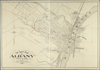
Map
of Albany, New York
note:
Mapping
the Nation (NEH grant, 2015-2018)…
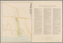
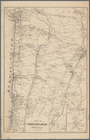
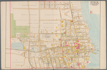
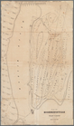
Nyack
note:
Mapping
the Nation (NEH grant, 2015-2018)…
Chancery sale, Nov. 30th, 183…
collection:
Collection of broadside real estate
maps
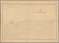
Map
of Highbridgeville in the town
note:
Mapping
the Nation (NEH grant, 2015-2018)…
m
Hammond Street, Perry Street,…
collection:
Collection of broadside real estate
maps
Map
of the county of Herkimer
note:
Differs from similar
maps
by David H
Livingston Heights : Livingto…
note:
Secondary
map
shows property owner's names
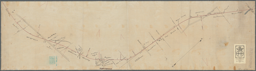
Plan showing route of Rochest…
note:
Mapping
the Nation (NEH grant, 2015-2018)…
Map
of Getty Square, Yonkers
note:
NYPL
Map
Div. copy
m
Map
of Delaware Co., New York
note:
Ancillary
maps
: Andes -- Bloomville
Map
of property belonging to the heirs
note:
… catalog of the
Map
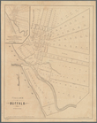
m
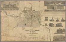
Village of Buffalo
note:
Inset:
Map
of the village of New Amsterdam
Map
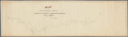
of a preliminary survey
note:
…
Maps
, 7463 Girard Ave
Map
of the flats above Albany
note:
This
map
also appeared in: Mrs. Grant
Mulberry Bend District.
Map
bounded
South Nyack
note:
Mapping
the Nation (NEH grant, 2015-2018)…
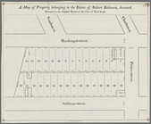
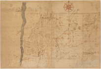
A
map
of property belonging to the estate
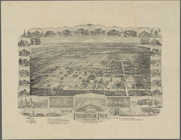
National Prohibition Park, St…
note:
Includes notes, location
map
(inset aerial
Map
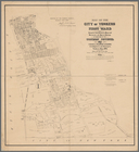
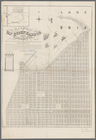
of the city of Yonkers, First Ward
note:
Mapping
the Nation (NEH grant, 2015-2018)…
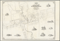
Map
of the village of Williamsville in Erie County, N
note:
Cadastral
map
showing building
Map
of property at Van Buren Harbor
note:
Includes text, note, and inset
map
of: "Part
Untitled manuscript
map
of Great Nine
note:
Mapping
the Nation (NEH grant, 2015-2018)…
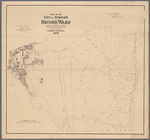
Map
of the city of Yonkers, Second Ward
note:
Mapping
the Nation (NEH grant, 2015-2018)…
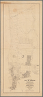
Map
of the city of Yonkers, Third Ward
note:
Mapping
the Nation (NEH grant, 2015-2018)…
Map
of Knollwood, Elmsford, Westchester
note:
Manuscript base
map
includes signature of N.F