Click to visit the main New York Public Library Homepage
The New York Public Library
Digital Collections
About Digital Collections
Browse
Search only public domain materials
Items
Collections
Divisions
Home
Search
Browse
About
Search only public domain materials
Items
Collections
Divisions
Digital Collections
Using Images
Using Data
Search
Filtered keyword search
Show filters
Hide filters
Show Only Public Domain
topic
x
Real property
Fire insurance
5198
Cities & towns
5007
Business enterprises
468
Landowners
262
More
Less
name
Sanborn Map Company
5093
G.W. Bromley & Co
2125
Ullitz, Hugo
606
E.B. Hyde & Co
545
E. Belcher Hyde Map Company
488
More
Less
collection
Atlases of New York City
8354
Atlases of the United States
1677
Maps of New York City and State
296
Collection of broadside real estate maps announcing auctions of lots in early 19th century New York City
67
Atlases, gazetteers, guidebooks and other books
1
More
Less
place
x
New York (State)
New York
3107
Manhattan (New York, N.Y.)
1969
Brooklyn (New York, N.Y.)
811
New York (N.Y.)
763
More
Less
genre
Maps
10094
Atlases
1677
Cadastral maps
227
Indexes
126
Title pages
79
More
Less
publisher
Sanborn Map Company
5009
G.W. Bromley & Co
1997
E. Belcher Hyde
425
E. Robinson Co
246
F. W. Beers & Co
148
More
Less
division
Map Division
10267
Manuscripts and Archives Division
1
No Division
1
type
cartographic
10172
text
318
still image
11
Date Range
to
Looking for this collection?
Atlases of New York City
11,722 items
10,399 results found for:
x
Maps
Filtering on:
x
Place
: New York (State)
x
Topic
: Real property
Sort by:
Relevance
Title
Date created
Date digitized
Sequence
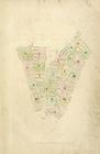
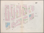
Map
of the province
note:
Photocopy of a manuscript
map
dated: 10th
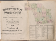
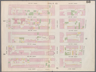
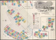
Maps
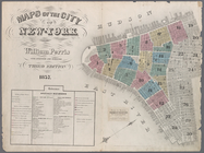
of the city of New York …
Maps
of the city of New-York
…
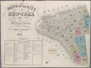
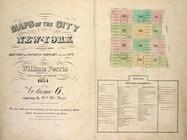
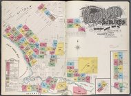
Maps
of the city of New-York
Maps
of the city of New-York
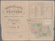
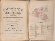
…
Maps
of the city of New-York
…
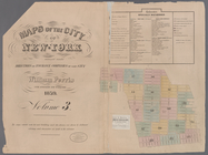
Maps
of the city of New-York
Maps
of the city of New -York
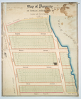
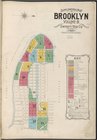
Insurance
maps
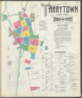
of Tarrytown, New York [Page 9]
Insurance
maps
of Tarrytown, New York [Cover
Maps
of the city of New York
…
Maps
of the city of New York …
m
Maps
of property in the city of New York
note:
… index,
map
of 277 Pearl Street),
map
leaves 1
…
Maps
of the city of New York …
…
Maps
of the city of New York
Maps
of the city of New York
Maps
of the city of New York …
Pencil sketch of Rochester, N…
note:
Mapping
the Nation (NEH grant, 2015-2018)…
Index
Map
Map
showing the old farms : from 4th to 28th
note:
… to Early
Maps
of the Middle
Map
of property belonging to Gedney
note:
… to Early
Maps
of the Middle
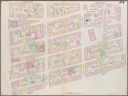
Map
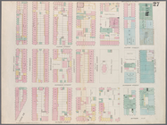
bounded by Murray Street, Broadway
Map
bounded by Canal Street, Elm Street
Map
bounded by Hamersley Street, Varick
Map
bounded by Spring Street, Broadway
Map
bounded by Broome Street, Bowery
Map
bounded by Houston Street, Bowery
Map
bounded by Rivington Street, Ludlow
Map
bounded by Division Street, Montgomery
Map
bounded by 5th Street, First Avenue
Map
bounded by 4th Street, Bowery, Houston
m
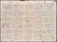
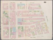
Map
bounded by 9th Street, Fourth Avenue
collection:
Map
bounded by 9th Street, Fourth Avenue, 4
Map
bounded by 9th Street, University Place
Map
bounded by 14th Street, Fourth Avenue
collection:
Map
bounded by 14th Street, Fourth Avenue, 9
Map
bounded by 14th Street, University Place
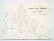
Village of Livingston's Landi…
note:
… to Early
Maps
of the Middle
Maps
of the city of New York …
Supplemental
Map
Insurance
Maps
Insurance
Maps
Insurance
Maps
Map
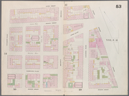
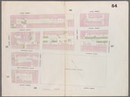
bounded by West 42nd Street, Tenth
Map
bounded by West 47th Street, Sixth
Map
bounded by West 47th Street, Eighth
Map
bounded by West 47th Street, Tenth
Map
bounded by West 52nd Street, Sixth
Map
bounded by West 52nd Street, Eighth
Map
bounded by West 52nd Street, Tenth
Map
bounded by West 57th Street, Tenth
Map
bounded by West 57th Street, Eighth
1
2
3
4
5
6
7
8
9
10
…
41
42
Previous
Next
1
2
3
4
5
6
7
8
9
10
…
41
42
Previous
Next