Click to visit the main New York Public Library Homepage
The New York Public Library
Digital Collections
About Digital Collections
Browse
Search only public domain materials
Items
Collections
Divisions
Home
Search
Browse
About
Search only public domain materials
Items
Collections
Divisions
Digital Collections
Using Images
Using Data
Search
Keyword search
Show filters
Hide filters
Show Only Public Domain
topic
Real property
316
Business enterprises
190
Maps
55
Railroads
45
Pictorial works
39
More
Less
name
Austro-Hungarian Monarchy. Militärgeographisches Institut
773
Stone & Stewart
151
Beers, S. N
146
Beers, D. G. (Daniel G.)
141
Geological Survey (U.S.)
101
More
Less
collection
Spezialkarte der Osterreichisch-Ungarischen Monarchie
773
Atlases of the United States
534
Maps of North America
316
Atlases of New York City
213
Maps of New York City and State
89
More
Less
place
New York (State)
425
Staten Island (New York, N.Y.)
91
Bronx (New York, N.Y.)
85
New Jersey
81
New York (N.Y.)
62
More
Less
genre
Maps
1897
Topographic maps
1062
Atlases
534
Prints
29
Cadastral maps
26
More
Less
publisher
K.u.K. Militargeographisches Institut
773
Stone & Stewart
99
Topographical Bureau
82
The Suvery
52
C. K. Stone
46
More
Less
division
Map Division
1931
Rare Book Division
18
General Research Division
5
Wallach Division: Picture Collection
5
Wallach Division: Print Collection
5
type
cartographic
1909
text
51
still image
26
Date Range
to
Looking for this collection?
Spezialkarte der Osterreichisch-Ungarischen Monarchie
774 items
1,964 results found for:
Topographic maps
Sort by:
Relevance
Title
Date created
Date digitized
Sequence
Results 1001 - 1050
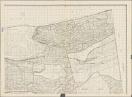
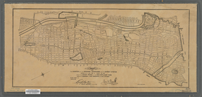
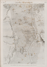
Map
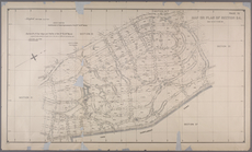
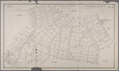
or Plan of Section 23. [Bounded
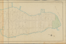
Map
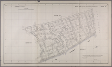
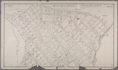
or Plan of Section 24. [Bounded
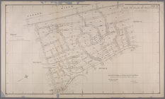
Map
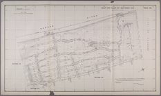
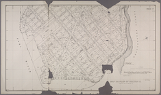
or Plan of Section 25. [Bounded
Map
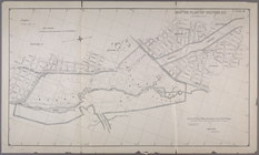
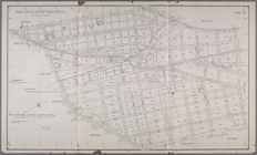
or Plan of Section 26. [Bounded
Map
or Plan of Section 27. [Bounded
Map
or Plan of Section 28. [Bounded
Map
or Plan of Section 3. [Bounded
Map
or Plan of Section 4. [Bounded
Map
or Plan of Section 5. [Bounded
Map
or Plan of Section 6. [Bounded
Map
or Plan of Section 7. [Bounded
Map
or Plan of Section 8. [Bounded by E
Map
or Plan of Section 9.[Bounded
m
Map
or plan of streets, roads, avenues
note:
…"New York December, 1895,
Topographical
m
Map
or plan showing a general design
note:
… catalog of the
Map
m
Map
or plan showing the proposed changes of lines
note:
…,
Topographical
Bureau."…
m
Map
or plan showing the street system
abstract:
…,
Topographical
Bureau." Oriented
Map
or plan showing the street system in the 12th
note:
…
Topographical
Engineer
Map
shewing position of 1st Brig. 3rd
note:
Topographic
map
showing roads, railroads
Map
showing
note:
Mapping
the Nation (NEH grant, 2015-2018)…
Map
showing detailed topography
note:
…
topographer
and draughtsman.
Map
showing the approaches to Richmond
note:
Mapping
the Nation (NEH grant, 2015-2018)…
Map
showing the direction of glacial striae
note:
…,
topographer
.
Map
showing the distribution of intra-morainic
note:
…. Vermeule,
topographer
.
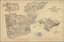
Map
showing the lands assigned
note:
prepared at the
Topographical
Bureau Feby. 23d
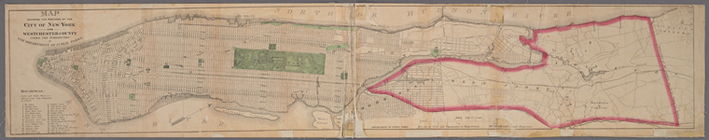
Map
showing the location of the speedway
abstract:
Map
is bound by Riverdale Ave., Van
Map
showing
Map
showing the route pursued
note:
…. Fremont U.S.
Topographical
Map
showing
topographical
survey of land
note:
Mapping
the Nation (NEH grant, 2015-2018)…
Maps
or plans and profiles, with field notes
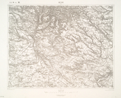
Maramaros-Sziget.
Marburg.
Marenicze und Wiznitz.
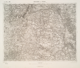
Maria-Theresiopel.
Marienbad und Tachau.
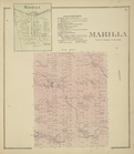
Marilla [Village]; Marilla Bu…
collection:
New
topographical
atlas of Erie Co., New
Maros-Illye.
Maros-Ludas.
Maros-Vasarhely.
Marosborgo.
m
Massachusetts
note:
…"Compiled from the original sheets of a
map
Massena [Township]
collection:
New
topographical
atlas of St. Lawrence
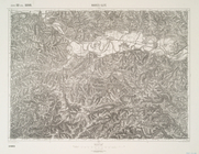
Matrei.
Mattighofen.
Maurice Cove, survey of 1886,…
note:
Many
maps
are rev. ed., many
Mayville [Village]; Mayville …
collection:
New
topographical
atlas of Chautauqua
Medak und Sv. Rok.
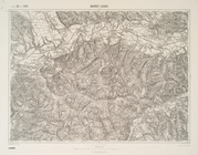
Mehadia.
Melnik.
Memphis et environs. Plan gén…
1
2
3
4
5
6
7
8
Previous
Next
1
2
3
4
5
6
7
8
Previous
Next