


- The Library Shop
- Privacy Policy
- Rules and Regulations
- Using the Internet
- Website Terms and Conditions
- Gifts of Materials to NYPL
-
© The New York Public Library, 2024
The New York Public Library is a 501(c)(3) | EIN 13-1887440
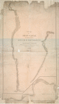
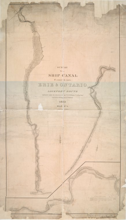
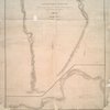
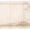
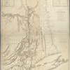
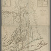
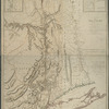
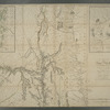
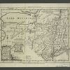
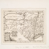
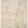
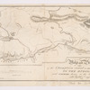
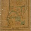
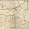
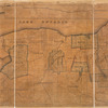
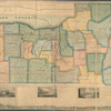
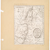
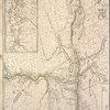
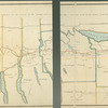
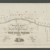
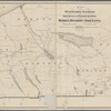
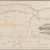
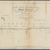
Lionel Pincus and Princess Firyal Map Division, The New York Public Library. "Survey for a ship canal to connect the Lakes Erie & Ontario, Lockport route" The New York Public Library Digital Collections. 1835. https://digitalcollections.nypl.org/items/4ee62e00-c5aa-012f-a458-58d385a7bc34
Lionel Pincus and Princess Firyal Map Division, The New York Public Library. "Survey for a ship canal to connect the Lakes Erie & Ontario, Lockport route" New York Public Library Digital Collections. Accessed May 4, 2024. https://digitalcollections.nypl.org/items/4ee62e00-c5aa-012f-a458-58d385a7bc34
Lionel Pincus and Princess Firyal Map Division, The New York Public Library. (1835). Survey for a ship canal to connect the Lakes Erie & Ontario, Lockport route Retrieved from https://digitalcollections.nypl.org/items/4ee62e00-c5aa-012f-a458-58d385a7bc34
<ref name=NYPL>{{cite web | url=https://digitalcollections.nypl.org/items/4ee62e00-c5aa-012f-a458-58d385a7bc34 | title=
(cartographic)
Survey for a ship canal to connect the Lakes Erie & Ontario, Lockport route, (1835)
|author=Digital Collections, The New York Public Library |accessdate=May  4, 2024 |publisher=The New York Public Library, Astor, Lenox, and Tilden Foundations}}</ref>