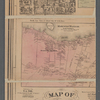
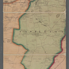
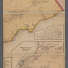
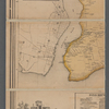


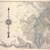
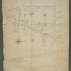
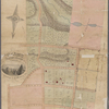
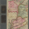
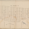
![Map of New Brighton, Staten Island [cartographic material] : 1st, 2nd and 3rd wards.](https://images.nypl.org/index.php?id=4030805&t=b)

- The Library Shop
- Privacy Policy
- Rules and Regulations
- Using the Internet
- Website Terms and Conditions
- Gifts of Materials to NYPL
-
© The New York Public Library, 2024
The New York Public Library is a 501(c)(3) | EIN 13-1887440
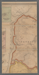
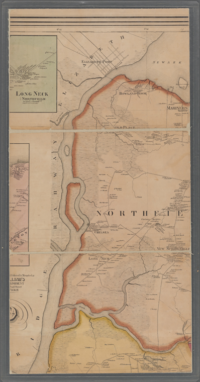
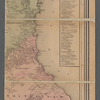
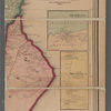
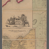
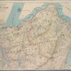
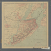
Lionel Pincus and Princess Firyal Map Division, The New York Public Library. "Map of Staten Island, Richmond County, New York City, from surveys under the direction of H. F. Walling" The New York Public Library Digital Collections. 1859. https://digitalcollections.nypl.org/items/ba6f2fe0-1d48-0131-7471-58d385a7bbd0
Lionel Pincus and Princess Firyal Map Division, The New York Public Library. "Map of Staten Island, Richmond County, New York City, from surveys under the direction of H. F. Walling" New York Public Library Digital Collections. Accessed May 4, 2024. https://digitalcollections.nypl.org/items/ba6f2fe0-1d48-0131-7471-58d385a7bbd0
Lionel Pincus and Princess Firyal Map Division, The New York Public Library. (1859). Map of Staten Island, Richmond County, New York City, from surveys under the direction of H. F. Walling Retrieved from https://digitalcollections.nypl.org/items/ba6f2fe0-1d48-0131-7471-58d385a7bbd0
<ref name=NYPL>{{cite web | url=https://digitalcollections.nypl.org/items/ba6f2fe0-1d48-0131-7471-58d385a7bbd0 | title=
(cartographic)
Map of Staten Island, Richmond County, New York City, from surveys under the direction of H. F. Walling, (1859)|author=Digital Collections, The New York Public Library |accessdate=May  4, 2024 |publisher=The New York Public Library, Astor, Lenox, and Tilden Foundations}}</ref>