Click to visit the main New York Public Library Homepage
The New York Public Library
Digital Collections
About Digital Collections
Browse
Search only public domain materials
Items
Collections
Divisions
Home
Search
Browse
About
Search only public domain materials
Items
Collections
Divisions
Digital Collections
Using Images
Using Data
Search
Filtered search
Show filters
Hide filters
Show Only Public Domain
topic
Geography
141
History
106
Maps
83
Historical geography
57
Nautical charts
57
More
Less
name
Faden, William, 1749-1836
101
Tiebout, Cornelius, 1777-1832
63
Sayer, Robert, 1725-1794
62
Stockdale, John, 1749?-1814
58
Colles, Christopher, 1738-1816
53
More
Less
collection
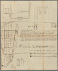
Bancker plans
726
Lawrence H. Slaughter Collection of English maps, charts, globes, books and atlases
365
Maps of North America
263
Atlases, gazetteers, guidebooks and other books
111
Maps of New York City and State
69
More
Less
place
United States
168
Great Britain
133
North America
103
England
87
Middle Atlantic States
78
More
Less
genre
x
Maps
Surveys
730
land surveys
628
Documents
103
Prints
42
More
Less
publisher
Published by Wm. Faden, geographer to His Majesty, and His R.H. the Prince of Wales
53
Printed for John Cary
47
Printed for Robert Sayer, No. 53, Fleet-Street
44
publisher not identified
39
s.n
37
More
Less
division
Map Division
861
Manuscripts and Archives Division
741
Rare Book Division
48
General Research Division
45
Wallach Division: Print Collection
40
More
Less
type
cartographic
1798
text
182
still image
15
Date Range
to
1,807 results found
Filtering on:
x
Date
: 1760 - 1800
x
Genre
: Maps
Sort by:
Title
Date created
Date digitized
Sequence
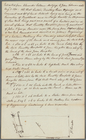
1. Plan de L'Isle St. louis, …
m
1793 August 14
m
1793 August 14
m
1793 March 10
m
1793 March 18
m
1800 October 29
m
1800 October 29
m
1800 October 29
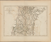
A plan of part of the provin…
A A plan of Boston in New Eng…
A carefully prepared map of t…
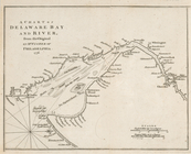
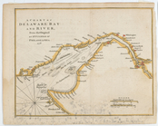
A chart of Delawar Bay : with…
A chart of Delawar River from…
A chart of Delaware Bay and R…
A chart of Delaware Bay and R…
A chart of Delaware Bay and R…
A chart of Delaware Bay and R…
A chart of Delaware Bay and R…
A chart of Delaware Bay and R…
A chart of Delaware Bay and R…
A chart of Delaware Bay and R…
A chart of Delaware Bay and R…
A chart of Delaware Bay and R…
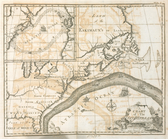
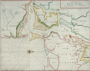
A chart of New York Harbour :…
A chart of New York Island & …
[A chart of New York Island &…
m
A chart of North and South Am…
A chart of the Atlantic Ocean…
A chart of the bar of Sandy H…
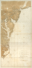
A chart of the coast of New Y…
A chart of the coast of New Y…
A chart of the Gulf Stream
m
A chart of the harbour of Rho…
A chart of the sea coast of N…
A chorographical map of the c…
A chorographical map of the P…
A chorographical map of the p…
m
A chorographical map of the p…
A chorographical map of the p…
A compleat map of North-Carol…
A compleat map of the Holy La…
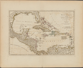
A compleat map of the West In…
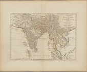
A complete map of the East In…
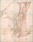
A correct map of Connecticut:…
m
A correct map of the state of…
A draught of New York from th…
A Draught of New York from th…
A draught of Port Royal Harbo…
A draught of West Florida : f…
A general chart of all the co…
1
2
3
4
5
6
7
8
Previous
Next
1
2
3
4
5
6
7
8
Previous
Next