Click to visit the main New York Public Library Homepage
The New York Public Library
Digital Collections
About Digital Collections
Browse
Search only public domain materials
Items
Collections
Divisions
Home
Search
Browse
About
Search only public domain materials
Items
Collections
Divisions
Digital Collections
Using Images
Using Data
Search
Filtered search
Show filters
Hide filters
Show Only Public Domain
topic
Geography
141
History
106
Maps
83
Historical geography
57
Nautical charts
57
More
Less
name
Faden, William, 1749-1836
101
Tiebout, Cornelius, 1777-1832
63
Sayer, Robert, 1725-1794
62
Stockdale, John, 1749?-1814
58
Colles, Christopher, 1738-1816
53
More
Less
collection
Bancker plans
726
Lawrence H. Slaughter Collection of English maps, charts, globes, books and atlases
365
Maps of North America
263
Atlases, gazetteers, guidebooks and other books
111
Maps of New York City and State
69
More
Less
place
United States
168
Great Britain
133
North America
103
England
87
Middle Atlantic States
78
More
Less
genre
x
Maps
Surveys
730
land surveys
628
Documents
103
Prints
42
More
Less
publisher
Published by Wm. Faden, geographer to His Majesty, and His R.H. the Prince of Wales
53
Printed for John Cary
47
Printed for Robert Sayer, No. 53, Fleet-Street
44
publisher not identified
39
s.n
37
More
Less
division
Map Division
861
Manuscripts and Archives Division
741
Rare Book Division
48
General Research Division
45
Wallach Division: Print Collection
40
More
Less
type
cartographic
1798
text
182
still image
15
Date Range
to
1,807 results found
Filtering on:
x
Date
: 1760 - 1800
x
Genre
: Maps
Sort by:
Title
Date created
Date digitized
Sequence
Results 251 - 300
Le belier.
Le taureau.
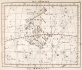
Les gemeaux.
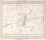
Le cancer.
Le lion
La vierge.
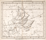
La balance & le scorpion.
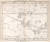
Le capricorne & le verseau.
Les poissons.
La baleine
L'eridan, orion & le lievre
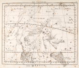
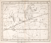
La licorne, le grand chien.
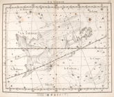
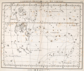
Lhydre le sextant.
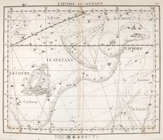
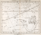
Lhydre, la coupe, le corbeau.
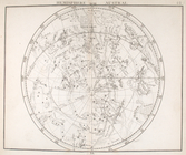
Hemisphere austral.
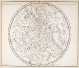
Hemisphere austral, fuivant l…
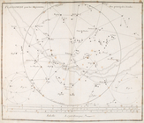
Planisphere & figures.
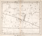
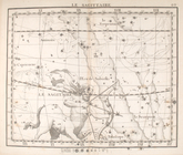
La sagittaire.
Untitled Map of the United St…
Kniga glagolema︠i︡a kosmograf…
m
A map of the most inhabited p…
A map of the country between …
A sketch of the Cherakee boun…
Plan of Amelia Island in East…
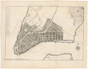
Plan of the city of New York
A plan of Charles Town, the c…
The state of South Carolina :…
An accurate map of North and …
A new and accurate map of the…
A New and accurate map of the…
A new and accurate map of the…
A new and accurate map of Nor…
A plan of the several village…
A map and chart of those part…
Plan of the bay and island of…
m
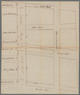
Continuation of Greenwich Str…
m
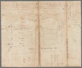
Lot numbers 5 to 10 - R. Livi…
m
Lot numbers 1 to 5 - R. Livin…
m
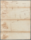
Lot of Mr. Edward Laight in W…
m
Great Dock
m
Between Whitehall and Coentie…
m
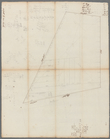
Sketch of the vineyard
m
John Thurman's lots - Wall St…
m
Wall Street, Broad Street to …
m
Mr. Brasier's lots south west…
m
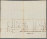
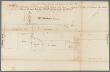
Wall Street
m
Mr. Lawrence Read's house in …
m
Swamp
m
Mr. Skullthorp's three lots i…
m
Stone Street
1
2
3
4
5
6
7
8
Previous
Next
1
2
3
4
5
6
7
8
Previous
Next