Click to visit the main New York Public Library Homepage
The New York Public Library
Digital Collections
About Digital Collections
Browse
Search only public domain materials
Items
Collections
Divisions
Home
Search
Browse
About
Search only public domain materials
Items
Collections
Divisions
Digital Collections
Using Images
Using Data
Search
Filtered search
Show filters
Hide filters
Show Only Public Domain
topic
Landowners
35
Real property
35
Real propery auctions
35
Canals
6
Railroads
6
More
Less
name
Breese, Samuel, 1802-1873
18
Morse, Sidney E. (Sidney Edwards), 1794-1871
18
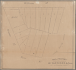
James Bleecker & Sons
14
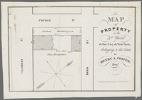
Coster, Henry A., 1758 or 1759-1820
6
Tanner, Henry Schenck, 1786-1858
6
More
Less
collection
Collection of broadside real estate maps announcing auctions of lots in early 19th century New York City
35
Maps of North America
29
Atlases of the United States
21
Maps of New York City and State
4
The Legion of liberty! : and force of truth, containing the thoughts, words, and deeds of some prominent apostles, champions and martyrs
1
place
x
United States
New York (State)
38
Manhattan (New York, N.Y.)
35
New York
35
West Village (New York, N.Y.)
12
More
Less
genre
Maps
90
Cadastral maps
35
Strip maps
3
Early maps
1
Facsimiles
1
More
Less
publisher
S. E. Morse & co.,
18
Henry Schenck Tanner
3
s.n
3
Published by S. Augustus Mitchell :
2
Bureau of Topographical Engineers
1
More
Less
division
Map Division
89
Schomburg Manuscripts, Archives and Rare Books Division
1
type
x
cartographic
still image
1
Date Range
to
90 results found
Filtering on:
x
Date
: 1836 - 1844
x
Place
: United States
x
Type
: cartographic
Sort by:
Title
Date created
Date digitized
Sequence
Map of Texas and the countrie…
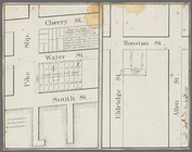
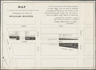
Horatio Street, Hudson Street…
Gansevoort Street, 9th Avenue…
Jane Street, Eighth Avenue, T…
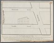
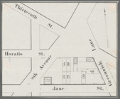
Thirteenth Street, Greenwich …
m
Hammond Street, Perry Street,…
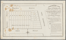
Peremptory sale these 15 valu…
Executors sale of part of the…
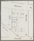
Hudson Street, Horatio Street…
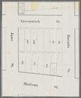
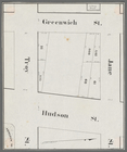
Greenwich Street, Troy Street…
m
Map of 19 lots in the fifteen…
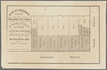
Map of property in the 9th wa…
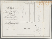
13 lots of ground to be sold …
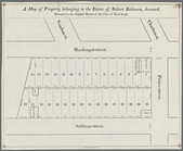
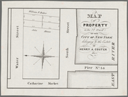
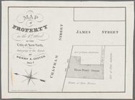
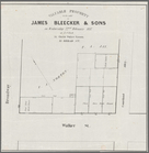
A map of property belonging t…
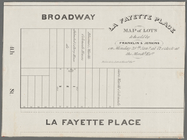
La Fayette Place map of lots …
Map of property in the eleven…
m
Map of valuable property to b…
m
Map of lots on Lafayette Plac…
m
Peremptory sale of lots, on T…
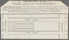
Chancery sale, valuable prope…
m
Map of a water grant between …
Map of property in the 7th Wa…
Map of property in the 4th Wa…
Map of property to be sold by…
Map of property in the 13th W…
Valuable property to be sold …
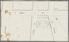
Broadway, Prince Street, Cros…
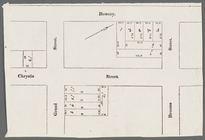
Bowery, Chrystie Street, Gran…
m
Map of property in the 3d War…
Executors sale of valuable re…
Map of property in the 2nd wa…
Map of property to be sold at…
Map of valuable property in t…
Map of lots & buildings as sh…
Map of property in the 1st wa…
Map of three lots of land in …
A sketch of the siege of Fort…
Chart of the Columbia River f…
Map of the Oregon Territory
Map of the United States Terr…
m
Map of that portion of her ma…
Part of the United States, Lo…
Map of New Netherland which w…
A map of the confluence of th…
Part of the boundary between …
Mitchell's travellers guide t…
Part of the boundary between …
Part of the boundary between …
Geology of the Genesee River
Map illustrating the plan of …