Click to visit the main New York Public Library Homepage
The New York Public Library
Digital Collections
About Digital Collections
Browse
Search only public domain materials
Items
Collections
Divisions
Home
Search
Browse
About
Search only public domain materials
Items
Collections
Divisions
Digital Collections
Using Images
Using Data
Search
Filtered search
Show filters
Hide filters
Show Only Public Domain
topic
Real property
408
Nautical charts
152
Landowners
137
Administrative and political divisions
109
Fire insurance
104
More
Less
name
Perris, William
297
United States Coast Survey
168
Bache, A. D. (Alexander Dallas), 1806-1867
152
Perris & Browne
130
New York (N.Y.). Common Council
88
More
Less
collection
Maps of North America
501
Atlases of New York City
356
Maps of New York City and State
355
Cigarette cards
51
Denkmaeler aus Aegypten und Aethiopien nach den Zeichnungen der von seiner Majestat dem Koenige von Preussen Friedrich Wilhelm IV nach diesen Landern gesendeten und in den Jahren 1842-1845 ausgefuhrten wissenschaftlichen Expedition ..
39
More
Less
place
New York (State)
486
New York
332
Manhattan (New York, N.Y.)
288
New York (N.Y.)
156
Brooklyn (New York, N.Y.)
77
More
Less
genre
Maps
1322
Nautical charts
134
Cadastral maps
112
Prints
78
Bathymetric maps
67
More
Less
publisher
William Perris
142
Perris & Browne
124
U.S. Coast Survey
90
publisher not identified
89
U.S. Coast Survey Office
42
More
Less
division
Map Division
1095
General Research Division
62
George Arents Collection
51
Rare Book Division
13
Milstein Division
5
More
Less
type
x
cartographic
still image
93
text
71
Date Range
to
1,372 results found
Filtering on:
x
Date
: 1849 - 1859
x
Type
: cartographic
Sort by:
Title
Date created
Date digitized
Sequence
Results 1251 - 1300
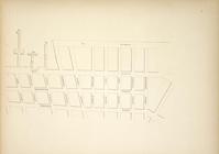
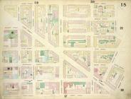
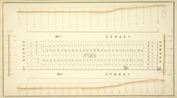
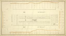
Block No. 580 Map bounded by …
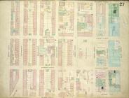
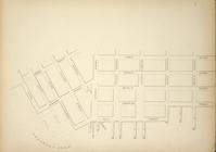
Map bounded by Pier - Line 1-…
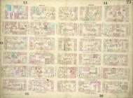
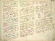
Plate 17: Map bounded by West…
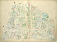
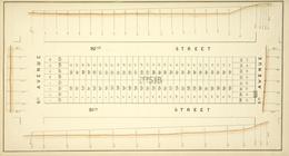
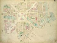
Block No. 673 Map bounded by …
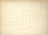
1st Ward. [Map bounded by Lib…
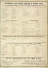
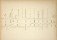
Warehouse for General Storage…
Block No. 571 Map bounded by …
Block No. 578 Map bounded by …
Plate 12: Map bounded by Rutg…
Map bounded by Pier - Line 52…
2nd & 4th Wards. [Map bounded…
Block No. 679 Map bounded by …
Block No. 676 Map bounded by …
Plate 13: Map bounded by Cana…
Plate 18: Map bounded by Spri…
Plate 27: Map bounded by Mont…
2nd Ward. [Map bounded by Wil…
Plate 25: Map bounded by Bowe…
Plate 6: Map bounded by Broad…
Block No. 574 Map bounded by …
Block No. 576 Map bounded by …
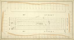
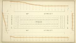
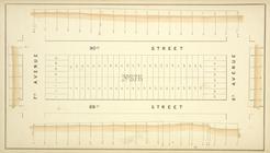
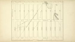
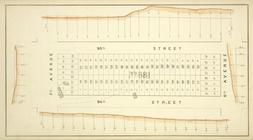
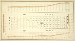
Map bounded by 7th Avenue, 96…
Map bounded by Pier - Line 40…
Plate 19: Map bounded by West…
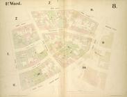
4th Ward. [Map bounded by Roo…
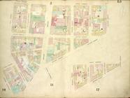
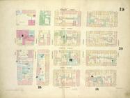
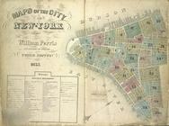
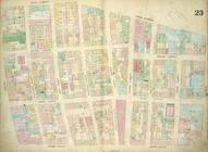
Maps of the City of New York
Block No. 681 Map bounded by …
Block No. 573 Map bounded by …
Block No. 682 Map bounded by …
Map bounded by Jackson Street…
Plate 24: Map bounded by Cros…
3rd Ward. [Map bounded by Rob…
Plate 10: Map bounded by Jame…
Map bounded by Lewis Street, …
4th Ward. [Map bounded by Gol…
Plate 23: Map bounded by Cana…
Novi Belgii: Tabula ad N. J. …
Map illustrating the general …
Map showing a portion of the …
United States
A plan of part of Mount Verno…
Map of the United States, sho…
Skeleton map of rail-roads be…
Map of the Lake Region, St. L…
Skeleton map showing the rail…
Plan of part of Weverton
Mouth of Chester River : (Har…
The tourist's pocket map of P…
Philadelphia
Map of the first and second a…
1
2
3
4
5
6
Previous
Next
1
2
3
4
5
6
Previous
Next