Click to visit the main New York Public Library Homepage
The New York Public Library
Digital Collections
About Digital Collections
Browse
Search only public domain materials
Items
Collections
Divisions
Home
Search
Browse
About
Search only public domain materials
Items
Collections
Divisions
Digital Collections
Using Images
Using Data
Search
Filtered search
Show filters
Hide filters
Show Only Public Domain
topic
Real property
408
Nautical charts
152
Landowners
137
Administrative and political divisions
109
Fire insurance
104
More
Less
name
Perris, William
297
United States Coast Survey
168
Bache, A. D. (Alexander Dallas), 1806-1867
152
Perris & Browne
130
New York (N.Y.). Common Council
88
More
Less
collection
Maps of North America
501
Atlases of New York City
356
Maps of New York City and State
355
Cigarette cards
51
Denkmaeler aus Aegypten und Aethiopien nach den Zeichnungen der von seiner Majestat dem Koenige von Preussen Friedrich Wilhelm IV nach diesen Landern gesendeten und in den Jahren 1842-1845 ausgefuhrten wissenschaftlichen Expedition ..
39
More
Less
place
New York (State)
486
New York
332
Manhattan (New York, N.Y.)
288
New York (N.Y.)
156
Brooklyn (New York, N.Y.)
77
More
Less
genre
Maps
1322
Nautical charts
134
Cadastral maps
112
Prints
78
Bathymetric maps
67
More
Less
publisher
William Perris
142
Perris & Browne
124
U.S. Coast Survey
90
publisher not identified
89
U.S. Coast Survey Office
42
More
Less
division
Map Division
1095
General Research Division
62
George Arents Collection
51
Rare Book Division
13
Milstein Division
5
More
Less
type
x
cartographic
still image
93
text
71
Date Range
to
1,372 results found
Filtering on:
x
Date
: 1849 - 1859
x
Type
: cartographic
Sort by:
Title
Date created
Date digitized
Sequence
Results 501 - 550
m
Map of Hampden County, Massac…
m
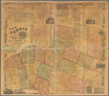
Map of Ontario County, New Yo…
m
Clark's map of Fairfield Coun…
Reconnaissance of the western…
Harbor of New London and the…
m
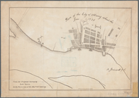
To his excellency William Try…
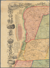
Connecticut: with portions of…
Plan of the estate of Saml. O…
Map of the United States and …
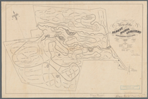
Plan of Groton Cemetery
Sketch J no. 2 showing the p…
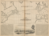
Map of the Submarine Atlantic…
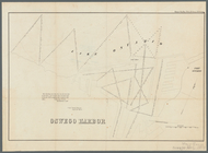
Sketch of West Pier, Oswego H…
Oswego Harbor, 33d Congress, …
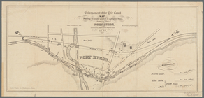
Enlargement of the Erie Canal…
Map of part of the village of…
m
Map of Oswego, Oswego Co., N.…
m
Map of Geneva, Ontario Co., N…
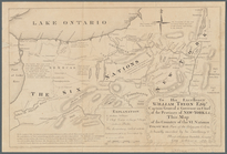
Map of the town of Niagara
Sketch A, showing the primary…
Sketch A, shewing the progres…
Sketch A, shewing the progres…
Hempstead
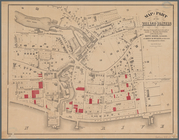
Map of the Albany Rural Cemet…
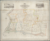
Plan of the city of Albany ab…
m
Map of New London County, Con…
Map of the New-Haven water su…
Map of Massachusetts
Geological section from the M…
Profile shewing the general f…
m
Reconnoissance of the western…
Map of part of Fairfield Coun…
Connecticut
Geer's new map of the city of…
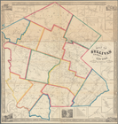
Map of Oswego County, New Yor…
Map of Sullivan County, New Y…
Western part of the southern …
Map of Genesee County, New Yo…
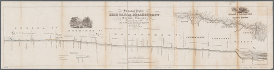
Statistical profile, Erie Can…
Map of Broome County, New York
Map of Erie County, New York:…
Middle part of the southern c…
Eastern part of the southern …
m
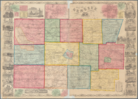
Colton's map of the United St…
m
Schuyler County, New York, wi…
m
Map of Rensselaer County, New…
m
Map of Rockland County, New Y…
Map of the vicinity of Niagar…
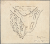
Fort la Présentation anno 174…
A map of the New England stat…
1
2
3
4
5
6
Previous
Next
1
2
3
4
5
6
Previous
Next