Click to visit the main New York Public Library Homepage
The New York Public Library
Digital Collections
About Digital Collections
Browse
Search only public domain materials
Items
Collections
Divisions
Home
Search
Browse
About
Search only public domain materials
Items
Collections
Divisions
Digital Collections
Using Images
Using Data
Search
Filtered search
Show filters
Hide filters
Show Only Public Domain
topic
Real property
408
Nautical charts
152
Landowners
137
Administrative and political divisions
109
Fire insurance
104
More
Less
name
Perris, William
297
United States Coast Survey
168
Bache, A. D. (Alexander Dallas), 1806-1867
152
Perris & Browne
130
New York (N.Y.). Common Council
88
More
Less
collection
Maps of North America
501
Atlases of New York City
356
Maps of New York City and State
355
Cigarette cards
51
Denkmaeler aus Aegypten und Aethiopien nach den Zeichnungen der von seiner Majestat dem Koenige von Preussen Friedrich Wilhelm IV nach diesen Landern gesendeten und in den Jahren 1842-1845 ausgefuhrten wissenschaftlichen Expedition ..
39
More
Less
place
New York (State)
486
New York
332
Manhattan (New York, N.Y.)
288
New York (N.Y.)
156
Brooklyn (New York, N.Y.)
77
More
Less
genre
Maps
1322
Nautical charts
134
Cadastral maps
112
Prints
78
Bathymetric maps
67
More
Less
publisher
William Perris
142
Perris & Browne
124
U.S. Coast Survey
90
publisher not identified
89
U.S. Coast Survey Office
42
More
Less
division
Map Division
1095
General Research Division
62
George Arents Collection
51
Rare Book Division
13
Milstein Division
5
More
Less
type
x
cartographic
still image
93
text
71
Date Range
to
1,372 results found
Filtering on:
x
Date
: 1849 - 1859
x
Type
: cartographic
Sort by:
Title
Date created
Date digitized
Sequence
Results 1001 - 1050
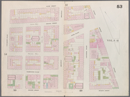
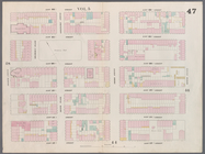
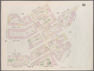
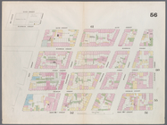
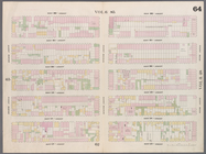
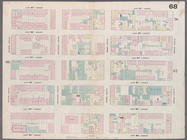
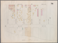
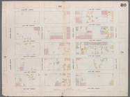
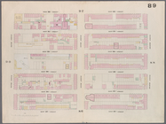
Map bounded by East 17th Stre…
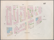
Map bounded by West 18th Stre…
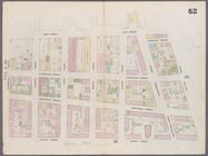
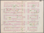
Map bounded by East 22nd Stre…
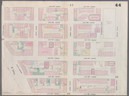
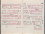
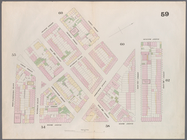
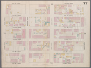
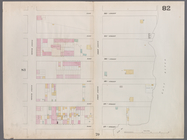
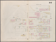
Map bounded by East 22nd Stre…
Map bounded by West 22nd Stre…
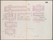
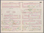
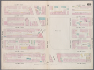
Map bounded by 4th Street, Bo…
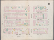
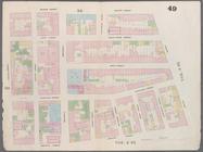
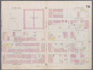
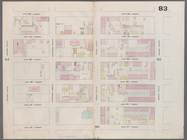
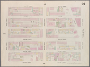
Map bounded by 4th Street, Gr…
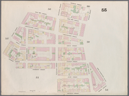
Map bounded by Bleeker Street…
Map bounded by West 10th Stre…
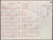
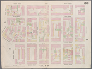
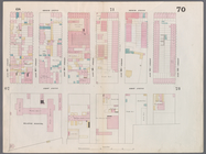
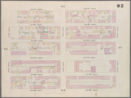
m
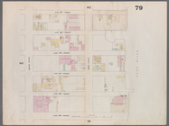
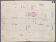
Map bounded by 9th Street, Fo…
Map bounded by 9th Street, Un…
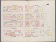
Map bounded by Charles Street…
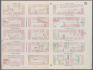
Map bounded by Bleeker Street…
Map bounded by 14th Street, F…
Map bounded by 14th Street, U…
Map bounded by 12th Street, S…
Map bounded by West 13th Stre…
Map bounded by West 12th Stre…
Map bounded by West 17th Stre…
Map bounded by West 17th Stre…
Map bounded by West 22nd Stre…
Map bounded by West 22nd Stre…
Map bounded by West 19th Stre…
Map bounded by West 22nd Stre…
Map bounded by East 26th Stre…
Map bounded by East 27th Stre…
Map bounded by West 27th Stre…
Map bounded by East 32nd Stre…
Map bounded by East 32nd Stre…
Map bounded by West 32nd Stre…
Map bounded by East 37th Stre…
Map bounded by East 37th Stre…
Map bounded by West 37th Stre…
Map bounded by East 42nd Stre…
Map bounded by East 42nd Stre…
Map bounded by West 42nd Stre…
Map bounded by East 47th Stre…
Map bounded by East 47th Stre…
Map bounded by West 47th Stre…
Map bounded by East 52nd Stre…
Map bounded by East 52nd Stre…
Map bounded by West 52nd Stre…
Map bounded by West 27th Stre…
Map bounded by West 27th Stre…
Map bounded by West 27th Stre…
Map bounded by West 32nd Stre…
Map bounded by West 32nd Stre…
Map bounded by West 32nd Stre…
Map bounded by West 37th Stre…
Map bounded by West 37th Stre…
1
2
3
4
5
6
Previous
Next
1
2
3
4
5
6
Previous
Next