Click to visit the main New York Public Library Homepage
The New York Public Library
Digital Collections
About Digital Collections
Browse
Search only public domain materials
Items
Collections
Divisions
Home
Search
Browse
About
Search only public domain materials
Items
Collections
Divisions
Digital Collections
Using Images
Using Data
Search
Filtered search
Show filters
Hide filters
Show Only Public Domain
topic
Real property
262
History
119
Landowners
105
Administrative and political divisions
90
Nautical charts
82
More
Less
name
Perris, William
142
Perris & Browne
141
United States Coast Survey
106
Bache, A. D. (Alexander Dallas), 1806-1867
85
Mitchell, S. Augustus (Samuel Augustus), 1792-1868
50
More
Less
collection
Maps of North America
484
Atlases of New York City
196
Maps of New York City and State
163
Atlases, gazetteers, guidebooks and other books
52
Atlases of the United States
42
More
Less
place
New York (State)
318
New York
189
Manhattan (New York, N.Y.)
152
United States
111
Virginia
89
More
Less
genre
Maps
963
Cadastral maps
85
Nautical charts
71
Prints
49
Bathymetric maps
43
More
Less
publisher
Perris & Browne
124
publisher not identified
65
S. A. Mitchell, jr
49
U.S. Coast Survey
46
C.K. Stone
42
More
Less
division
Map Division
810
General Research Division
46
Wallach Division: Print Collection
4
Schomburg Jean Blackwell Hutson Research and Reference Division
3
Schomburg Manuscripts, Archives and Rare Books Division
3
More
Less
type
x
cartographic
still image
25
text
16
Date Range
to
1,000 results found
Filtering on:
x
Date
: 1856 - 1864
x
Type
: cartographic
Sort by:
Title
Date created
Date digitized
Sequence
Results 501 - 550
Map exhibiting the lines of m…
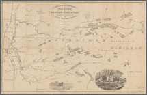
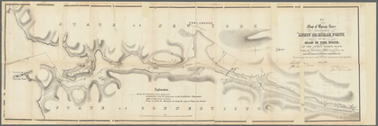
Lakes and reservoirs, head wa…
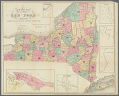
Census of the State of New Yo…
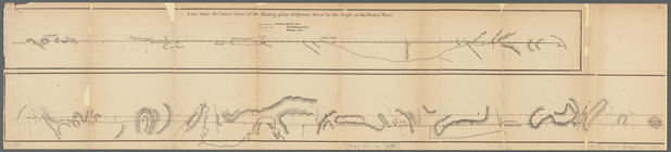
Diagrams of the New-York and …
Johnston's map of the United …
Map of the United States of N…
Colton's United States shewin…
G. Woolworth Colton's map of …
m
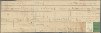
Diagrams of the New-York and …
Colton's new railroad & count…
Lloyd's new map of the United…
Map of Byram River from its m…
m
Milk R. to the crossing of th…
Grover & Baker's map of the s…
Map of the rail-roads of the …
Map of the rail-roads of the …
Johnson's West Indies
m
Mitchell's new national map e…
m
Johnson's new illustrated & e…
m
Johnson's new illustrated & e…
Map of North America showing …
NE sheet of map of North Amer…
Colton's North America
Map of field of occupation, A…
Map showing the approaches to…
Frederick County Maryland: pr…
Yorktown, armament of batteri…
Map shewing position of 1st B…
Information map, Hd. Qrs. 20 …
Information map, Hd. Qrs, 20t…
Manuscript map of northwester…
Part of Cobb Co., Ga
Information map of part of Ge…
Map of Virginia, Fredericksbu…
m
The position of Yorktown with…
Profiles of enemy's works, Po…
Map exhibiting the approaches…
Part of Cobb County, Georgia
Map no. 16, Battlefield of Fo…
Map of first district, Campbe…
Part of northern Georgia
Part of northern Georgia: no.…
Part of northern Georgia: no.…
Map no. 12, Port Hudson and v…
Colton's new illustrated & em…
Americae septentrionalis pars…
m
Dec. 13th Positions of Humphr…
Map of field of occupation of…
m
Vicinity of the Rapidan and R…
Yorktown, armament of batteri…
1
2
3
4
Previous
Next
1
2
3
4
Previous
Next