Click to visit the main New York Public Library Homepage
The New York Public Library
Digital Collections
About Digital Collections
Browse
Search only public domain materials
Items
Collections
Divisions
Home
Search
Browse
About
Search only public domain materials
Items
Collections
Divisions
Digital Collections
Using Images
Using Data
Search
Filtered search
Show filters
Hide filters
Show Only Public Domain
topic
Real property
262
History
119
Landowners
105
Administrative and political divisions
90
Nautical charts
82
More
Less
name
Perris, William
142
Perris & Browne
141
United States Coast Survey
106
Bache, A. D. (Alexander Dallas), 1806-1867
85
Mitchell, S. Augustus (Samuel Augustus), 1792-1868
50
More
Less
collection
Maps of North America
484
Atlases of New York City
196
Maps of New York City and State
163
Atlases, gazetteers, guidebooks and other books
52
Atlases of the United States
42
More
Less
place
New York (State)
318
New York
189
Manhattan (New York, N.Y.)
152
United States
111
Virginia
89
More
Less
genre
Maps
963
Cadastral maps
85
Nautical charts
71
Prints
49
Bathymetric maps
43
More
Less
publisher
Perris & Browne
124
publisher not identified
65
S. A. Mitchell, jr
49
U.S. Coast Survey
46
C.K. Stone
42
More
Less
division
Map Division
810
General Research Division
46
Wallach Division: Print Collection
4
Schomburg Jean Blackwell Hutson Research and Reference Division
3
Schomburg Manuscripts, Archives and Rare Books Division
3
More
Less
type
x
cartographic
still image
25
text
16
Date Range
to
1,000 results found
Filtering on:
x
Date
: 1856 - 1864
x
Type
: cartographic
Sort by:
Title
Date created
Date digitized
Sequence
Results 751 - 800
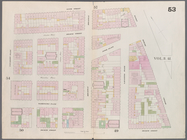
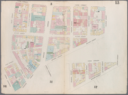
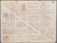
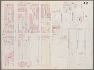
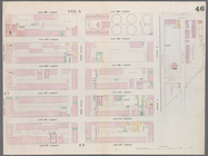
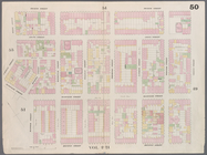
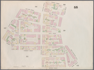
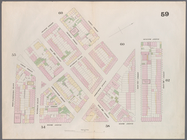
Map bounded by Chatham Street…
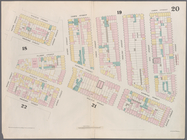
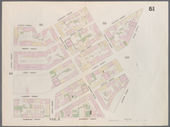
Map bounded by Chatham Square…
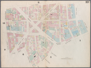
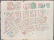
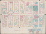
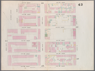
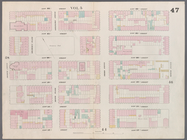
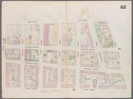
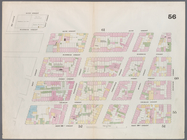
Map bounded by Division Stree…
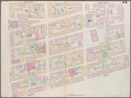
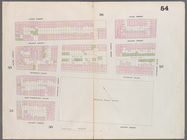
Map bounded by Canal Street, …
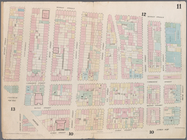
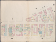
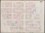
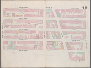
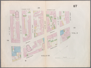
Map bounded by Canal Street, …
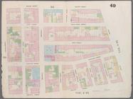
Map bounded by Canal Street, …
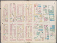
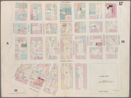
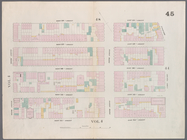
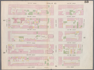
Map bounded by Laight Street,…
Map bounded by Laight Street,…
Map bounded by Spring Street,…
Map bounded by Hamersley Stre…
Map bounded by Hamersley Stre…
Map bounded by Houston Street…
Map bounded by Spring Street,…
Map bounded by Broome Street,…
Map bounded by Houston Street…
Map bounded by Rivington Stre…
Map bounded by Rivington Stre…
Map bounded by Division Stree…
Map bounded by Henry Street, …
Map bounded by Rivington Stre…
Map bounded by Rivington Stre…
Map bounded by Houston Street…
Map bounded by Houston Street…
Map bounded by Houston Street…
Map bounded by 8th Street, Ea…
Map bounded by 6th Street, Av…
Map bounded by 5th Street, Av…
Map bounded by 5th Street, Fi…
Map bounded by East 15th Stre…
Map bounded by East 13th Stre…
Map bounded by East 12th Stre…
Map bounded by East 12th Stre…
Map bounded by East 20th Stre…
Map bounded by East 17th Stre…
Map bounded by East 17th Stre…
Map bounded by West 18th Stre…
Map bounded by East 22nd Stre…
Map bounded by East 22nd Stre…
Map bounded by West 22nd Stre…
Map bounded by 4th Street, Bo…
Map bounded by 4th Street, Gr…
Map bounded by Bleeker Street…
Map bounded by West 10th Stre…
m
Map bounded by 9th Street, Fo…
Map bounded by 9th Street, Un…
Map bounded by Charles Street…
Map bounded by Bleeker Street…
Map bounded by 14th Street, F…
Map bounded by 14th Street, U…
Map bounded by 12th Street, S…
1
2
3
4
Previous
Next
1
2
3
4
Previous
Next