Click to visit the main New York Public Library Homepage
The New York Public Library
Digital Collections
About Digital Collections
Browse
Search only public domain materials
Items
Collections
Divisions
Home
Search
Browse
About
Search only public domain materials
Items
Collections
Divisions
Digital Collections
Using Images
Using Data
Search
Filtered search
Show filters
Hide filters
Show Only Public Domain
topic
Real property
4660
Fire insurance
3158
Cities & towns
3085
Administrative and political divisions
388
Railroads
341
More
Less
name
Sanborn Map Company
3085
Beers, F. W. (Frederick W.)
530
E. Robinson Co
238
Everts, Ensign & Everts
231
G.M. Hopkins & Co
223
More
Less
collection
Atlases of New York City
3757
Atlases of the United States
1826
Maps of North America
1016
Maps of New York City and State
479
Atlases, gazetteers, guidebooks and other books
27
More
Less
place
New York (State)
4888
New York
434
Brooklyn (New York, N.Y.)
307
New York (N.Y.)
274
New Jersey
205
More
Less
genre
Maps
7133
Atlases
1793
Cadastral maps
191
Prints
95
Plans
90
More
Less
publisher
Sanborn Map Company
3085
E. Robinson Co
191
F. W. Beers & Co
148
publisher not identified
136
G.M. Hopkins & Co
101
More
Less
division
Map Division
7124
Rare Book Division
22
General Research Division
19
Schomburg Jean Blackwell Hutson Research and Reference Division
17
Manuscripts and Archives Division
15
More
Less
type
x
cartographic
text
58
still image
55
Date Range
to
7,218 results found
Filtering on:
x
Date
: 1867 - 1889
x
Type
: cartographic
Sort by:
Title
Date created
Date digitized
Sequence
Results 1001 - 1050
Map of lands in the town of Y…
Newburgh, N.Y., 1878
m
Three maps of the property kn…
m
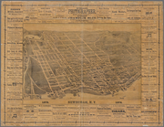
Map of the city of Rochester
m
Map of choice building sites …
Map showing location of lands…
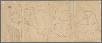
Map of the Manor of Scarsdale
Map of the city of Bangor: or…
Sheet no. 3, western territor…
Sketch map of Pascataway, Mai…
Map of southern New Hampshire
The lake country of New Hamps…
Map of the White Mountains of…
Map of New England with adjac…
Plan of Bar Harbor, Mount Des…
Map showing Indian reservatio…
Map of the White Mountains of…
Vereinigte Staaten von Amerik…
Map of Long Island Sound show…
Map of the Department of the …
Map of the Department of the …
m
Watson's new topographical, t…
Historical maps of Sanbornton
Historical map of Sanbornton
Mount Desert [Island] via Bos…
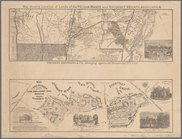
Sketch showing the progress o…
Post route map of the state o…
Map of New Hampshire, 1816
Map of Massabesic Lake and su…
Plan of Suffolk Street Distri…
Plan of Church St. district: …
Plan of Boston
Map of Boston for 1874: publi…
Map of Boston: from the lates…
Map of Boston: from the lates…
Map of Boston for 1876
Map of Rockland Co: [New York]
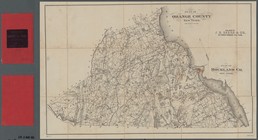
Plan of Orange County, New Yo…
Map of Dobbs Ferry and Hastin…
Historical sketch map of King…
Map of the city of Albany
City of Albany, New York
m
Map of the City of Hudson, N.…
The Courier Company's map of …
m
Watson's new county and railr…
m
Map of the United States and …
m
Map of the City of Utica, One…
m
Castle Ridge, Tarrytown, West…
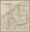
Map of Chautauqua County, N.Y…
m
Map of the states of Kansas a…
1
2
3
4
5
6
7
8
9
10
…
28
29
Previous
Next
1
2
3
4
5
6
7
8
9
10
…
28
29
Previous
Next