Click to visit the main New York Public Library Homepage
The New York Public Library
Digital Collections
About Digital Collections
Browse
Search only public domain materials
Items
Collections
Divisions
Home
Search
Browse
About
Search only public domain materials
Items
Collections
Divisions
Digital Collections
Using Images
Using Data
Search
Filtered search
Show filters
Hide filters
Show Only Public Domain
topic
Real property
4660
Fire insurance
3158
Cities & towns
3085
Administrative and political divisions
388
Railroads
341
More
Less
name
Sanborn Map Company
3085
Beers, F. W. (Frederick W.)
530
E. Robinson Co
238
Everts, Ensign & Everts
231
G.M. Hopkins & Co
223
More
Less
collection
Atlases of New York City
3757
Atlases of the United States
1826
Maps of North America
1016
Maps of New York City and State
479
Atlases, gazetteers, guidebooks and other books
27
More
Less
place
New York (State)
4888
New York
434
Brooklyn (New York, N.Y.)
307
New York (N.Y.)
274
New Jersey
205
More
Less
genre
Maps
7133
Atlases
1793
Cadastral maps
191
Prints
95
Plans
90
More
Less
publisher
Sanborn Map Company
3085
E. Robinson Co
191
F. W. Beers & Co
148
publisher not identified
136
G.M. Hopkins & Co
101
More
Less
division
Map Division
7124
Rare Book Division
22
General Research Division
19
Schomburg Jean Blackwell Hutson Research and Reference Division
17
Manuscripts and Archives Division
15
More
Less
type
x
cartographic
text
58
still image
55
Date Range
to
7,218 results found
Filtering on:
x
Date
: 1867 - 1889
x
Type
: cartographic
Sort by:
Title
Date created
Date digitized
Sequence
Results 1501 - 1550
m
Map of Kings County N.Y.
m
Map of Brooklyn and vicinity
m
Map of Brooklyn Ferry, in 176…
Map of the county of Kings, s…
m
Map of Brooklyn and vicinity
Map of the consolidated city …
Map of the homestead of the l…
Map of the city of Brooklyn
Map of the county of Kings, s…
Map of Brooklyn and vicinity
Map of the consolidated city …
Map of the county of Kings, s…
Map of the city of Brooklyn, …
Map of property belonging to …
Index map to Bensonhurst-by-t…
Watson's new map of Brooklyn …
m
Taunton's guide map and direc…
Sectional map of New York, Br…
m
Map and profile of the New Yo…
Map of Coney Island and Sheep…
Map of the Eureka Basin, incl…
Twenty fifth ward, first elec…
New map of Brooklyn and vicin…
Map showing route of proposed…
Map of property owned by Fran…
Map of sewer district of Bath…
Green-Wood Cemetery, 1886
Sketch showing the ground und…
Monteith's map of the City of…
m
Map of New-York City / prepar…
New bond paper map of New-Yor…
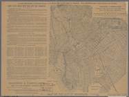
Plan of New York City between…
m
Map of the City & County of N…
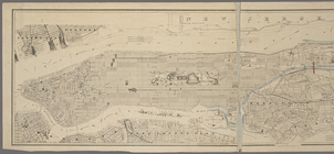
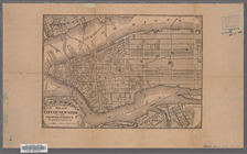
Map of the City of New York
m
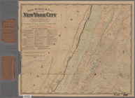
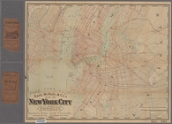
Rand, McNally & Co.'s map of …
m
Colton's street map of the Ci…
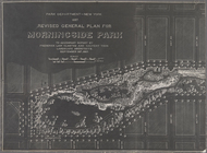
Revised general plan for Morn…
101st St. & 102nd St. and the…
m
Map of New York City south of…
Proposed iron viaduct from Sa…
Map of part of New York City …
m
Map of the city of Brooklyn ;…
Map of New York City showing …
Map of New York City above 11…
m
Rand, McNally & Co.'s map of …
m
Map of the village of Jamaica…
Map of Long Island City, Quee…
m
Map showing the route for a p…
m
Map showing the lines of the …
m
Map of the Boulevard : and pl…
1
2
…
4
5
6
7
8
9
10
11
…
28
29
Previous
Next
1
2
…
4
5
6
7
8
9
10
11
…
28
29
Previous
Next