Click to visit the main New York Public Library Homepage
The New York Public Library
Digital Collections
About Digital Collections
Browse
Search only public domain materials
Items
Collections
Divisions
Home
Search
Browse
About
Search only public domain materials
Items
Collections
Divisions
Digital Collections
Using Images
Using Data
Search
Filtered search
Show filters
Hide filters
Show Only Public Domain
topic
Real property
8500
Fire insurance
5103
Cities & towns
4998
Maps
361
Railroads
274
More
Less
name
Sanborn Map Company
5093
G.W. Bromley & Co
2391
Bromley, George Washington
797
Bromley, Walter Scott
797
Austro-Hungarian Monarchy. Militärgeographisches Institut
763
More
Less
collection
Atlases of New York City
9621
Atlases of the United States
1621
Maps of New York City and State
847
Spezialkarte der Osterreichisch-Ungarischen Monarchie
763
Maps of North America
702
More
Less
place
New York (State)
9290
New York
3095
Manhattan (New York, N.Y.)
1853
New York (N.Y.)
1740
Brooklyn (New York, N.Y.)
733
More
Less
genre
Maps
13974
Atlases
1607
Topographic maps
977
Cadastral maps
197
Plans
111
More
Less
publisher
Sanborn Map Company
5129
G.W. Bromley & Co
2294
E. Belcher Hyde
780
K.u.K. Militargeographisches Institut
763
E. Robinson Co
249
More
Less
division
Map Division
13622
General Research Division
184
Manuscripts and Archives Division
82
Schomburg Jean Blackwell Hutson Research and Reference Division
71
George Arents Collection
51
More
Less
type
x
cartographic
text
281
still image
121
Date Range
to
14,082 results found
Filtering on:
x
Date
: 1887 - 1975
x
Type
: cartographic
Sort by:
Title
Date created
Date digitized
Sequence
Results 1751 - 1800
Map or plan showing a general…
Map of roads and lots, Todt H…
m
General map of the borough of…
Map of a Richmond Borough Par…
Map of the Borough of Richmon…
m
Auction Labor Day, Monday, Se…
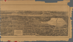
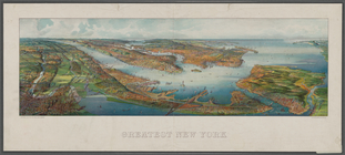
Greatest New York , [panorami…
Outline map of New York Harbo…
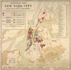
Industrial map of New York Ci…
m
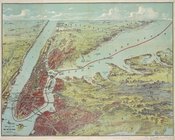
Birds eye view of New York an…
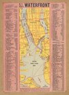
N.Y. City's waterfront.
City of New Manhattan : propo…
Map of Richmond Borough
Bay and harbor of New York
Jamaica Bay and Rockaway Inle…
m
Map of routes to the Holland …
Playland," Rye Beach : Westch…
Long Island: an interpretive …
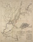
Bird's eye view map of New Yo…
Map of the Borough of Richmon…
Map of Newtown Creek and vici…
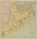
Map of the Borough of Richmond
Map of Livingston Manor, 1714
Mt. Marcy, ed. of June 1902, …
m
Beers' new map of Staten Isla…
m
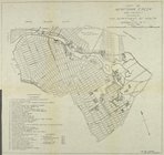
27th assembly district
Guide Map to the Brooklyn and…
m
1905 Library map of Manhattan…
m
Facsimile of the unpublished …
m
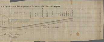
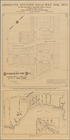
Profile of the New York and L…
m
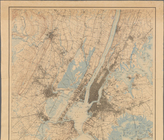
New York City and Vicinity.
Rand Mc Nally & Co.'s road ma…
Pocket map of greater New Yor…
The City of New York, divided…
New York City and Vicinity.
Hammond's complete map of Sta…
Richmond Borough Congressiona…
m
Birds eye view of that portio…
m
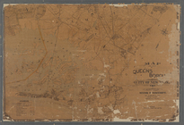
Map of the Queens Boro[ugh], …
m
Map of the 23rd ward, New Yor…
m
Authentic street plan of grea…
m
King's bird's eye view of Gre…
m
1907 Library map of Manhattan…
m
Population and school attenda…
m
Map of the northern part of t…
Hammond's new guide map of Ma…
Rand, McNally & Co.'s new han…
Map of the boroughs of Manhat…
The lower part of New York Ci…
New York City
1
2
…
5
6
7
8
9
10
11
12
…
56
57
Previous
Next
1
2
…
5
6
7
8
9
10
11
12
…
56
57
Previous
Next