Click to visit the main New York Public Library Homepage
The New York Public Library
Digital Collections
About Digital Collections
Browse
Search only public domain materials
Items
Collections
Divisions
Home
Search
Browse
About
Search only public domain materials
Items
Collections
Divisions
Digital Collections
Using Images
Using Data
Search
Filtered keyword search
Show filters
Hide filters
Show Only Public Domain
topic
Real property
2975
Fire insurance
212
Railroads
154
Landowners
130
Zoning
118
More
Less
name
G.W. Bromley & Co
1701
Ullitz, Hugo
735
E.B. Hyde & Co
544
E. Belcher Hyde Map Company
488
Bromley, George Washington
468
More
Less
collection
Atlases of New York City
3179
Maps of New York City and State
553
Collection of broadside real estate maps announcing auctions of lots in early 19th century New York City
67
Maps of North America
5
Atlases, gazetteers, guidebooks and other books
2
More
Less
place
x
New York
New York (State)
3805
Manhattan (New York, N.Y.)
1816
Brooklyn (New York, N.Y.)
969
New York (N.Y.)
525
More
Less
genre
Maps
3686
Indexes
112
Cadastral maps
102
Title pages
57
Index maps
49
More
Less
publisher
G.W. Bromley & Co
1573
E. Belcher Hyde
557
E. Robinson Co
209
E.B. Hyde & Co
118
G.M. Hopkins & Co
108
More
Less
division
x
Map Division
type
cartographic
3688
text
228
still image
8
Date Range
to
Looking for this collection?
Maps of New York City and State
2,059 items
3,808 results found for:
x
map
Filtering on:
x
Division
: Map Division
x
Place
: New York
x
Rights
: Public Domain
Sort by:
Relevance
Title
Date created
Date digitized
Sequence
Results 1501 - 1550
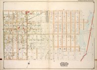
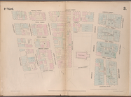
…, Sections 22 & 25; [
Map
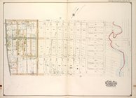
…, Section 25; [
Map
bounded
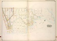
…, Section 24; [
Map
bounded
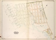
…, Section 24; [
Map
bounded
…, Section 24; [
Map
bounded
…, Section 24; [
Map
bounded
…, Section 24; [
Map
bounded
…, Section 24; [
Map
bounded
…, Section 25; [
Map
bounded
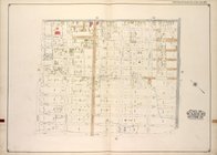
…; [
Map
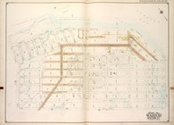
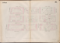
bounded by Barren
Map
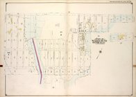
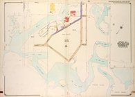
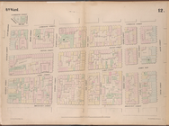
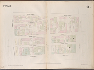
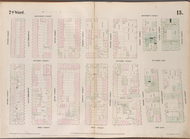
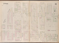
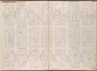
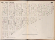
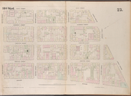
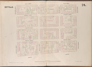
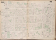
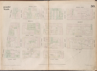
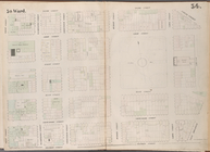
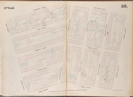
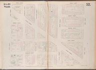
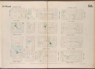
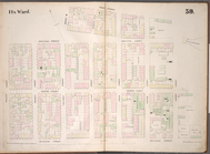
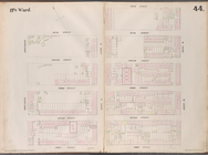
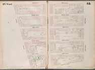
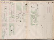
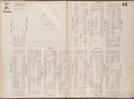
of property in the 19th ward of the city
m
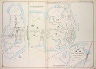
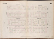
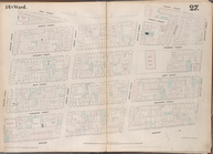
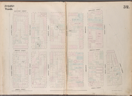
General design for a system o…
collection:
Maps
of New York City and State
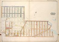
Map
bounded by Liberty Street, Nassau
Map
bounded by Gold Street, Ferry Street
Map
bounded by Broadway, Park Row, Spruce
Map
bounded by West Street, Reade Street
Map
bounded by Greenwich Street, Barclay
Map
bounded by Chatham Street, East
Map
bounded by Division Street, Pike
Map
bounded by Monroe Street, Pike
Map
bounded by Division Street, Jefferson
Map
bounded by Division Street, Montgomery
Map
bounded by Division Street, Grand
Map
bounded by Grand Street, East
Map
bounded by Rivington Street, East
Map
bounded by Rivington Street, Columbia
Map
bounded by Rivington Street, Attorney
Map
bounded by Grand Street, Attorney
Map
bounded by Bowery, Grand Street
Map
bounded by Bowery, Rivington Street
Map
bounded by Broome Street, Bowery
Map
bounded by Houston Street, Bowery
Map
bounded by Leonard Street, Centre
Map
bounded by Canal Street, Centre
Map
bounded by Spring Street, Elm Street
Map
bounded by Spring Street, Mercer
Map
bounded by Houston Street, Crosby
Map
bounded by Franklin Street, West
Map
bounded by Vestry Street, Canal
Map
bounded by Hamersley Street, Houston
Map
bounded by Spring Street, Varick
Map
bounded by Hamersley Street, Varick
Map
bounded by Houston Street, Avenue D
Map
bounded by Houston Street, Allen
Map
bounded by Eighth Street, East River
Map
bounded by Sixth Street, Avenue D
Map
bounded by Fifth Street, Avenue, A
Map
bounded by Fifth Street, First
Map
bounded by East 15th Street, East River
collection:
Map
bounded by East 15th Street, East
Map
bounded by East 13th Street, Avenue C
1
2
…
4
5
6
7
8
9
10
11
…
15
16
Previous
Next
1
2
…
4
5
6
7
8
9
10
11
…
15
16
Previous
Next