Click to visit the main New York Public Library Homepage
The New York Public Library
Digital Collections
About Digital Collections
Browse
Search only public domain materials
Items
Collections
Divisions
Home
Search
Browse
About
Search only public domain materials
Items
Collections
Divisions
Digital Collections
Using Images
Using Data
Search
Filtered keyword search
Show filters
Hide filters
Show Only Public Domain
topic
Real property
2975
Fire insurance
212
Railroads
154
Landowners
130
Zoning
118
More
Less
name
G.W. Bromley & Co
1701
Ullitz, Hugo
735
E.B. Hyde & Co
544
E. Belcher Hyde Map Company
488
Bromley, George Washington
468
More
Less
collection
Atlases of New York City
3179
Maps of New York City and State
553
Collection of broadside real estate maps announcing auctions of lots in early 19th century New York City
67
Maps of North America
5
Atlases, gazetteers, guidebooks and other books
2
More
Less
place
x
New York
New York (State)
3805
Manhattan (New York, N.Y.)
1816
Brooklyn (New York, N.Y.)
969
New York (N.Y.)
525
More
Less
genre
Maps
3686
Indexes
112
Cadastral maps
102
Title pages
57
Index maps
49
More
Less
publisher
G.W. Bromley & Co
1573
E. Belcher Hyde
557
E. Robinson Co
209
E.B. Hyde & Co
118
G.M. Hopkins & Co
108
More
Less
division
x
Map Division
type
cartographic
3688
text
228
still image
8
Date Range
to
Looking for this collection?
Maps of New York City and State
2,059 items
3,808 results found for:
x
map
Filtering on:
x
Division
: Map Division
x
Place
: New York
x
Rights
: Public Domain
Sort by:
Relevance
Title
Date created
Date digitized
Sequence
Results 1251 - 1300
… & 8; [
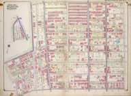
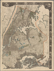
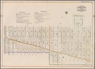
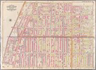
Map
bounded
…; [
Map
bounded
…-10; [
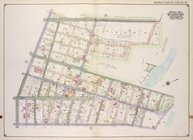
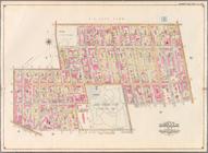
Map
bounded
collection:
… 9-10; [
Map
bounded
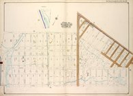
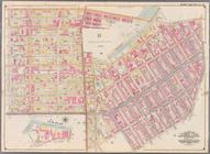
… 10-11; [
Map
bounded
… & 5, Section 1; [
Map
…, Section 4; [
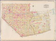
Map
bounded
… & 29, Section 4; [
Map
… & 8; [
Map
bounded
…; [
Map
bounded
…-10; [
Map
bounded
collection:
… 9-10; [
Map
bounded
… 10-11; [
Map
bounded
…; [
Map
bounded
…, Sections 15 & 16; [
Map
…, Section 18; [
Map
bounded
…, Section 25; [
Map
bounded
… & 25; [
Map
bounded
m
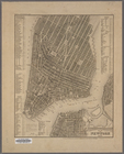
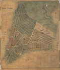
Street guide of Manhattan and…
collection:
Maps
of New York City and State
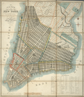
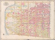
m
General
map
of the city of New York
note:
Note mounted on
map
: The original of this
map
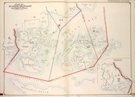
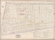
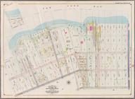
Jamaica Bay and Rockaway Beac…
collection:
Part of Wards 31 & 32, Land
Map
Sections
Plan von New-York, 1851
collection:
Maps
of New York City and State
Plan of the city of New-York …
note:
… to Early
Maps
of the Middle
Plan of the city of New-York …
note:
… to Early
Maps
of the Middle
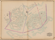
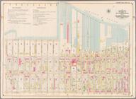
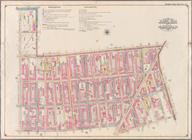
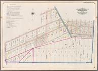
Bounded by Second Ave., Twent…
collection:
Part of Ward 8. Land
Map
Section, No. 3
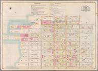
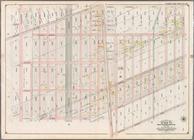
Bounded by Thirty Seventh St.…
collection:
Part of Ward 8. Land
Map
Section, No. 3
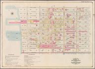
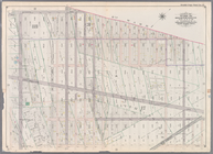
Bounded by Forty Ninth St., S…
collection:
Part of Ward 8. Land
Map
Section, No. 3
Bounded by Sixth Ave., Thirty…
collection:
Part of Wards 8 & 30. Land
Map
Section
Bounded by Third Street, Seve…
collection:
Part of Ward 22. Land
Map
Section, No. 4
Bounded by (Gowanus Canal) Th…
collection:
Part of Wards 9, 22 . Land
Map
Section, No. 4
Bounded by Eastern Parkway, A…
collection:
Part of Wards 24 & 29. Land
Map
Section
Bounded by Atlantic Avenue, A…
collection:
Part of Ward 24. Land
Map
Section, No. 5
Bounded by Albany Avenue, Atl…
collection:
Part of Wards 24 & 29. Land
Map
Section
Bounded by Hancock Street, Br…
collection:
Part of Wards 23 & 25. Land
Map
Section
Bounded by Broadway, Hancock …
collection:
Part of Wards 21 & 25. Land
Map
Section
Bounded by Grand Avenue, Will…
collection:
Part of Wards 7, 21 & 23. Land
Map
Section
Bounded by Flushing Avenue, W…
collection:
Part of Wards 11 & 20. Land
Map
Section
Bounded by Washington Avenue,…
collection:
Part of Wards 7 & 19. Land
Map
Sections
Bounded by Ten Eyck Street, B…
collection:
Part of Wards 16 & 18. Land
Map
Section
Bounded by Flushing Avenue, M…
collection:
Part of Wards 18 & 27. Land
Map
Sections
Bounded by Dekalb Avenue, Cyp…
collection:
Part of Wards 27 & 28. Land
Map
Section
Bounded by Cornelia Street, I…
collection:
Part of Wards 28. Land
Map
Section, No
Bounded by Livonia Avenue, Ho…
collection:
Part of Wards 26 & 32. Land
Map
Section
Bounded by Pitkin Avenue, Ber…
collection:
Part of Ward 26. Land
Map
Sections, Nos
Bounded by Fountain Avenue, V…
collection:
Part of Ward 26. Land
Map
Section, No
Bounded by Barbey Street, Van…
collection:
Part of Ward 26. Land
Map
Section, No
Bounded by Church Avenue, Lin…
collection:
Part of Wards 29 & 32, Land
Map
Section
Bounded by Avenue D, Nostrand…
collection:
Part of Wards 29, 30, 31 & 32, Land
Map
Bounded by Albemarle Road (Av…
collection:
Part of Ward 29. Land
Map
Section, No
Bounded by Twelfth Avenue, 45…
collection:
Part of Ward 30, Land
Map
Section, No
Bounded by Seventh Avenue, 60…
collection:
Part of Ward 30, Land
Map
Sections, Nos
Bounded by (Proposed Bay Ridg…
collection:
Part of Ward 30, Land
Map
Section, No
1
2
3
4
5
6
7
8
9
10
…
15
16
Previous
Next
1
2
3
4
5
6
7
8
9
10
…
15
16
Previous
Next