Click to visit the main New York Public Library Homepage
The New York Public Library
Digital Collections
About Digital Collections
Browse
Search only public domain materials
Items
Collections
Divisions
Home
Search
Browse
About
Search only public domain materials
Items
Collections
Divisions
Digital Collections
Using Images
Using Data
Search
Filtered keyword search
Show filters
Hide filters
Show Only Public Domain
topic
Real property
2975
Fire insurance
212
Railroads
154
Landowners
130
Zoning
118
More
Less
name
G.W. Bromley & Co
1701
Ullitz, Hugo
735
E.B. Hyde & Co
544
E. Belcher Hyde Map Company
488
Bromley, George Washington
468
More
Less
collection
Atlases of New York City
3179
Maps of New York City and State
553
Collection of broadside real estate maps announcing auctions of lots in early 19th century New York City
67
Maps of North America
5
Atlases, gazetteers, guidebooks and other books
2
More
Less
place
x
New York
New York (State)
3805
Manhattan (New York, N.Y.)
1816
Brooklyn (New York, N.Y.)
969
New York (N.Y.)
525
More
Less
genre
Maps
3686
Indexes
112
Cadastral maps
102
Title pages
57
Index maps
49
More
Less
publisher
G.W. Bromley & Co
1573
E. Belcher Hyde
557
E. Robinson Co
209
E.B. Hyde & Co
118
G.M. Hopkins & Co
108
More
Less
division
x
Map Division
type
cartographic
3688
text
228
still image
8
Date Range
to
Looking for this collection?
Maps of New York City and State
2,059 items
3,808 results found for:
x
map
Filtering on:
x
Division
: Map Division
x
Place
: New York
x
Rights
: Public Domain
Sort by:
Relevance
Title
Date created
Date digitized
Sequence
Results 2001 - 2050
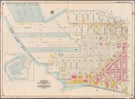
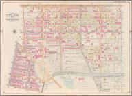
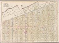
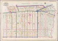
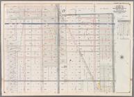
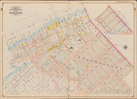
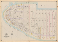
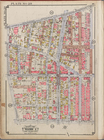
Bounded by Ostego St., Dwight…
collection:
Part of Ward 12. Land
Map
Section, No. 2
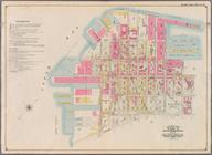
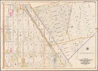
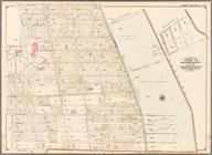
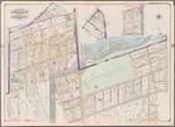
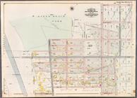
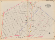
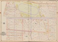
Bounded by (Buttermilk Channe…
collection:
Part of Ward 12. Land
Map
Section, No. 2
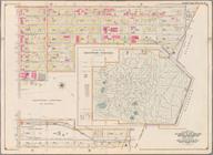
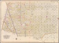
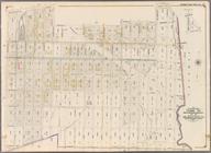
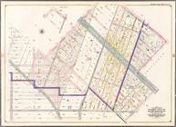
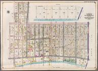
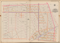
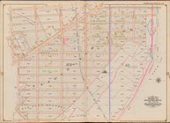
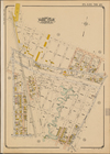
Bounded by Prospect Avenue, E…
collection:
Part of Wards 8, 22,29 & 30. Land
Map
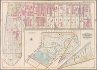
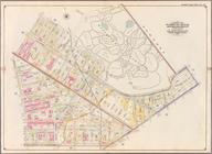
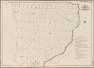
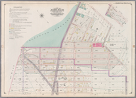
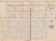
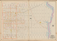
Bounded by Seventh Avenue, Ca…
collection:
Part of Wards 9, 22 & 29. Land
Map
Sections
Bounded by Atlantic Avenue, F…
collection:
Part of Wards 9, 22 . Land
Map
Section, No. 4
Bounded by Rockaway Avenue, E…
collection:
Part of Wards 24, 26, 29 & 32. Land
Map
Bounded by Williams Avenue, R…
collection:
Part of Wards 24, 26 & 29. Land
Map
Bounded by Evergreen Avenue, …
collection:
Part of Wards 25, 26 & 28. Land
Map
Bounded by Lexington Avenue, …
collection:
Part of Ward 23. Land
Map
Section, No. 6
Bounded by Stockton Street, B…
collection:
Part of Wards 21 & 23. Land
Map
Section
Bounded by Willoughby Avenue,…
collection:
Part of Wards 7, 11 & 20. Land
Map
Section
Bounded by Heyward Street, Ha…
collection:
Part of Wards 19 & 21. Land
Map
Sections
Bounded by (New Town Creek) C…
collection:
Part of Ward 17. Land
Map
Section, No. 9
Bounded by (East River Piers)…
collection:
Part of Wards 13 & 14. Land
Map
Section
Bounded by Jamaica Avenue, Mi…
collection:
Part of Ward 26. Land
Map
Sections, Nos
Bounded by Dresden Street, Fo…
collection:
Part of Ward 26. Land
Map
Section, No
Bounded by Atlantic Avenue, E…
collection:
Part of Ward 26. Land
Map
Section, No
Bounded by Dumont Avenue, Sap…
collection:
Part of Ward 26. Land
Map
Section, No
Bounded by Nostrand Avenue, M…
collection:
Part of Ward 29. Land
Map
Sections, No
Bounded by East 45th Street, …
collection:
Part of Wards 29 & 32, Land
Map
Section
Bounded by Avenue D, East 53r…
collection:
Part of Wards 29 & 32, Land
Map
Sections
Bounded by Martense Street, N…
collection:
Part of Ward 29. Land
Map
Sections, Nos
Bounded by Ocean Avenue, Flat…
collection:
Part of Ward 29. Land
Map
Sections, Nos
Bounded by Eleventh Avenue, C…
collection:
Part of Wards 22 & 29. Land
Map
Section
Bounded by West Street, Ditma…
collection:
Part of Wards 29 & 30, Land
Map
Sections
Bounded by 37th Street, Fort …
collection:
Part of Wards 29 & 30, Land
Map
Sections
Bounded by Seventeenth Avenue…
collection:
Part of Ward 30, Land
Map
Sections, Nos
Bounded by Second Avenue, Sen…
collection:
Part of Ward 30, Land
Map
Section, No
Bounded by 77th Street, Secon…
collection:
Part of Ward 30, Land
Map
Section, No
Bounded by 92nd Street, Third…
collection:
Part of Ward 30, Land
Map
Section, No
Bounded by 66th Street, Seven…
collection:
Part of Ward 30, Land
Map
Sections, Nos
Bounded by (Dyker Beach Park)…
collection:
Part of Ward 30, Land
Map
Section, No
Bounded by 81st Street, Eight…
collection:
Part of Ward 30, Land
Map
Section, No
Bounded by E. 14th St., Avenu…
collection:
Part of Ward 31, Land
Map
Sections, Nos
m
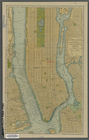
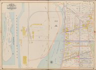
New York: south part of the B…
collection:
Maps
of New York City and State
Mapa de la ciudad de Nueva Yo…
collection:
Maps
of New York City and State
Bounded by (Gravesend Bay) Wa…
collection:
Part of Ward 31, Land
Map
Section, No
Bounded by Rockaway Ave., Vie…
collection:
Part of Ward 32, Land
Map
Sections, Nos
Bounded by E. 17th St., Foste…
collection:
Part of Ward 32, Land
Map
Sections, Nos
Bounded by Bayview Ave., (Gra…
collection:
Part of Ward 31, Land
Map
Section, No
Bounded by West St., (Brookly…
collection:
Part of Ward 31, Land
Map
Sections, Nos
Bounded by Nostrand Ave., Ave…
collection:
Part of Ward 32, Land
Map
Sections, Nos
Bounded by Avenue E (Ditmas A…
collection:
Part of Ward 32, Land
Map
Section, No
Bounded by Ocean Parkway, Ave…
collection:
Part of Ward 31, Land
Map
Sections, Nos
Bounded by (Atlantic Ocean, M…
collection:
Part of Ward 31, Land
Map
Section, No
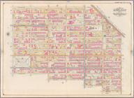
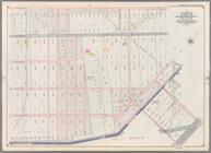
[
Map
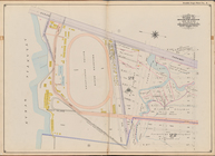
bounded by Crescent St., Astoria Ave
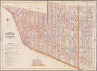
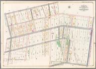
[
Map
bounded by 150th Ave., Creek Road
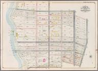
Bounded by Stillwell Ave., Tw…
collection:
Part of Ward 31, Land
Map
Sections, Nos
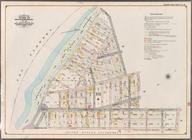
Bounded by E. 76th St., Avenu…
collection:
Part of Ward 32, Land
Map
Section, No
Bounded by Avenue E (Ditmas A…
collection:
Part of Ward 32, Land
Map
Section, No
1
2
…
6
7
8
9
10
11
12
13
…
15
16
Previous
Next
1
2
…
6
7
8
9
10
11
12
13
…
15
16
Previous
Next