Click to visit the main New York Public Library Homepage
The New York Public Library
Digital Collections
About Digital Collections
Browse
Search only public domain materials
Items
Collections
Divisions
Home
Search
Browse
About
Search only public domain materials
Items
Collections
Divisions
Digital Collections
Using Images
Using Data
Search
Filtered keyword search
Show filters
Hide filters
Show Only Public Domain
topic
Real property
1997
Maps
275
name
G.W. Bromley & Co
2368
Bromley, George Washington
738
Bromley, Walter Scott
737
collection
Atlases of New York City
2282
Atlases of the United States
89
place
New York (State)
2051
Manhattan (New York, N.Y.)
1624
New York
1573
New York (N.Y.)
673
Bronx (New York, N.Y.)
478
More
Less
genre
Maps
2297
Indexes
94
Atlases
89
Index maps
47
Title pages
24
More
Less
publisher
x
G.W. Bromley & Co
division
x
Map Division
type
cartographic
2294
text
127
still image
4
Date Range
to
2,371 results found for:
x
map
Filtering on:
x
Division
: Map Division
x
Publisher
: G.W. Bromley & Co.
Sort by:
Relevance
Title
Date created
Date digitized
Sequence
Results 751 - 800
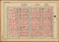
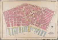
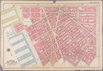
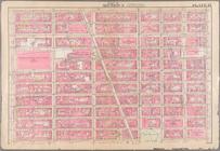
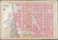
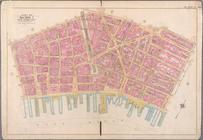
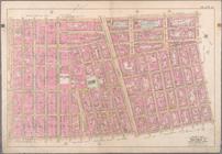
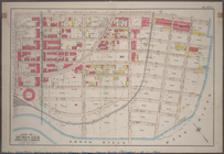
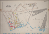
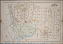
Plate 122, Part of Section 6:…
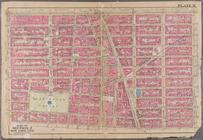
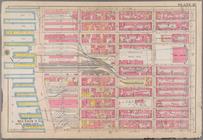
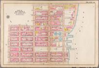
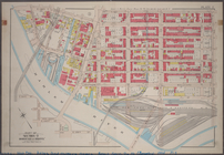
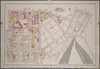
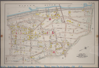
Plate 185: [Bounded by Nagle …
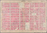
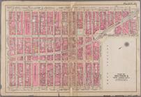
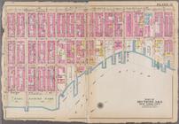
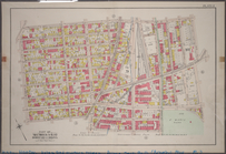
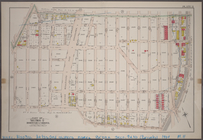
Plate 1: Bounded by Liberty S…
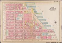
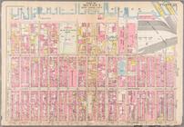
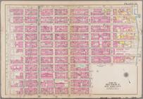
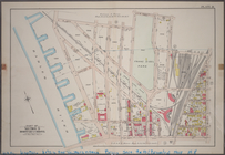
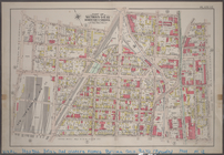
Plate 2: Bounded by Jay Stree…
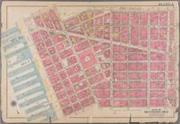
Plate 3: Bounded by William S…
Plate 4: Bounded by Spring St…
Plate 6: Bounded by Division …
Plate 7: Bounded by E. 3rd St…
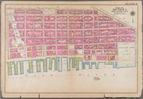
Plate 10: Bounded by W. 14th …
Plate 11: Bounded by W. 14th …
Plate 14: Bounded by W. 25th …
Plate 15: Bounded by [Plate 3…
Plate 17: Bounded by W. 36th …
Plate 18: Bounded by W. 36th …
Plate 23: Bounded by Ninth Av…
Plate 24: Bounded by Twelfth …
Plate 25: Bounded by W. 75th …
Plate 27: Bounded by E. 64th …
Plate 31: Bounded by Second A…
Plate 32: Bounded by E. 108t…
Plate 33: Bounded by Third Av…
Plate 34: Bounded by Lenox Av…
Plate 35: Bounded by Columbus…
Plate 39: Bounded by Twelfth …
Plate 42: Bounded by W. 147th…
Plate 43: Bounded by Hudson R…
Plate 44: Bounded by W. 158th…
Plate 45: Bounded by W. 170th…
Plate 48: Bounded by Dyckman …
Plate 49: Bounded by Harlem R…
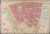
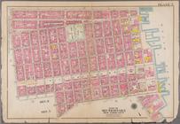
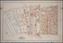
Bounded by William Street, Pa…
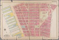
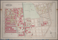
Bounded by W. 3rd Street, Gre…
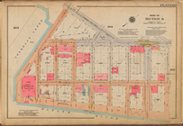
Plate 1: Part of Sections 9 &…
note:
Includes 37 pages of text and 19
maps
.
Plate 2: Part of Section 9, B…
note:
Includes 37 pages of text and 19
maps
.
Plate 3: Part of Section 9, B…
note:
Includes 37 pages of text and 19
maps
.
Plate 4: Part of Sections 9&1…
note:
Includes 37 pages of text and 19
maps
.
Plate 5: Part of Section 10, …
note:
Includes 37 pages of text and 19
maps
.
Plate 6: Part of Section 10, …
note:
Includes 37 pages of text and 19
maps
.
Plate 7: Part of Sections 9&1…
note:
Includes 37 pages of text and 19
maps
.
Plate 8: Part of Section 9, B…
note:
Includes 37 pages of text and 19
maps
.
Plate 9: Part of Section 9, B…
note:
Includes 37 pages of text and 19
maps
.
Plate 10: Part of Section 9, …
note:
Includes 37 pages of text and 19
maps
.
Plate 11: Part of Section 9, …
note:
Includes 37 pages of text and 19
maps
.
Plate 12: Part of Sections 9&…
note:
Includes 37 pages of text and 19
maps
.
Plate 15: Part of Section 10,…
note:
Includes 37 pages of text and 19
maps
.
Plate 16: Part of Section 10,…
note:
Includes 37 pages of text and 19
maps
.
Plate 17: Part of Section 10,…
note:
Includes 37 pages of text and 19
maps
.
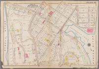
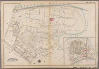
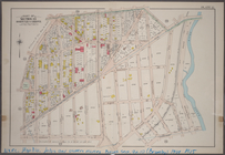
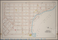
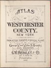
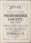
Atlas of Westchester County. …
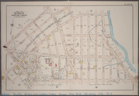
Atlas of Westchester County. …
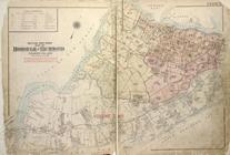
Outline & Index
Map
of The Borough of Richmond
1
2
3
4
5
6
7
8
9
10
Previous
Next
1
2
3
4
5
6
7
8
9
10
Previous
Next