Click to visit the main New York Public Library Homepage
The New York Public Library
Digital Collections
About Digital Collections
Browse
Search only public domain materials
Items
Collections
Divisions
Home
Search
Browse
About
Search only public domain materials
Items
Collections
Divisions
Digital Collections
Using Images
Using Data
Search
Filtered search
Show filters
Hide filters
Show Only Public Domain
topic
Real property
974
Fire insurance
591
Cities & towns
475
Description and travel
34
Maps
18
More
Less
name
Sanborn Map Company
556
Ullitz, Hugo
215
E.B. Hyde & Co
147
G.W. Bromley & Co
147
E. Belcher Hyde Map Company
133
More
Less
collection
Atlases of New York City
1103
Atlases of the United States
391
Maps of North America
69
Lawrence H. Slaughter Collection of English maps, charts, globes, books and atlases
51
Maps of New York City and State
51
More
Less
place
New York (State)
1055
New York
423
Brooklyn (New York, N.Y.)
175
Queens (New York, N.Y.)
127
Staten Island (New York, N.Y.)
112
More
Less
genre
Maps
1712
Atlases
390
Cadastral maps
16
Plans
11
Surveying
11
More
Less
publisher
Sanborn Map Company
477
E. Belcher Hyde
260
G.W. Bromley & Co
139
Sanborn Map Co
80
E. Belcher Hyde
49
More
Less
division
x
Map Division
type
cartographic
1713
text
23
still image
8
Date Range
to
1,738 results found
Filtering on:
x
Division
: Map Division
x
Note
: "Verm. Gegenst. L. Melanges L. Miscell. Subj. L. Miscellanea L. Fig. 1."--lettered at top.
Sort by:
Title
Date created
Date digitized
Sequence
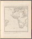
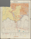
World on gnomonic projection …
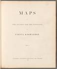
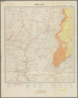
Maps of the Society for the D…
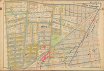
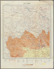
Park between 35th and 36th St…
Hollis Terrace addition no. 1…
m
Map 1 - Manhattan and Bronx
City of East Orange, Double P…
Carte de l'Amerique
Lower right section of a shee…
Carte routière de l'Indochine…
Carte routière de l'Indochine…
Carte routière de l'Indochine…
Carte routière de l'Indochine…
Carte routière de l'Indochine…
Bounded by Avenue K., Ralph A…
Bounded by E. 103rd Street, A…
Bounded by Avenue D., Ralph A…
Bounded by 85th Street, 1st A…
Bounded by Mackay Pl., 1st Av…
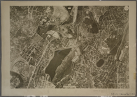
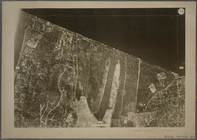
1D - N.Y. City (Aerial Set).
1A - N.Y. City (Aerial Set).
1B - N.Y. City (Aerial Set).
1C - N.Y. City (Aerial Set).
Subdivision of Block 5 of the…
Map of Chicago showing water …
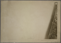
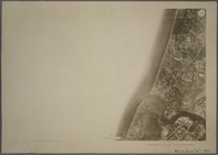
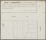
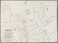
Map of property in the 1st wa…
Map of valuable property in t…
Map of property in the 1st wa…
Map of a portion of Point Ke…
Township no. 74 N. range no.…
Plan des achats des compagnie…
J.L. Hill Printing Co.'s map …
Map shewing the position of t…
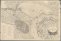
A sketch of the siege of Fort…
Position de l'armée Américain…
R.L. Polk & Co's map of the c…
m
Map of the vicinity of Philad…
m
Post route map of the State o…
Map no. 1 from San Francisco …
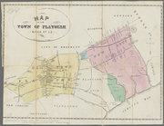
Map of the town of Flatbush, …
General map of the island of …
Map no. 1, from San Francisco…
Map no. 1 of the El Paso & Fo…
Megeath Stationery Co's Trans…
No. 1, diagram of coal measur…
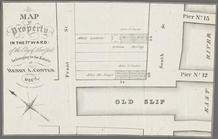
Map of Hon. Wm. L. Scott's es…
Carte réduite des côtes et de…
Map of the city of Washington…
Map of the city of Washington…
Océan Atlantique nord, côtes …
Portions of 1st, 2nd, and 3rd…
1
2
3
4
5
6
7
Previous
Next
1
2
3
4
5
6
7
Previous
Next