Click to visit the main New York Public Library Homepage
The New York Public Library
Digital Collections
About Digital Collections
Browse
Search only public domain materials
Items
Collections
Divisions
Home
Search
Browse
About
Search only public domain materials
Items
Collections
Divisions
Digital Collections
Using Images
Using Data
Search
Filtered search
Show filters
Hide filters
Show Only Public Domain
topic
Real property
10267
Fire insurance
5221
Cities & towns
5007
Business enterprises
469
Landowners
311
More
Less
name
Sanborn Map Company
5095
G.W. Bromley & Co
2180
Ullitz, Hugo
735
E.B. Hyde & Co
546
E. Belcher Hyde Map Company
488
More
Less
collection
Atlases of New York City
8612
Atlases of the United States
2037
Maps of New York City and State
1303
Collection of broadside real estate maps announcing auctions of lots in early 19th century New York City
67
Maps of North America
45
More
Less
place
x
New York (State)
New York
3805
Manhattan (New York, N.Y.)
2150
New York (N.Y.)
1219
Brooklyn (New York, N.Y.)
993
More
Less
genre
Maps
11777
Atlases
2036
Cadastral maps
246
Indexes
127
Title pages
82
More
Less
publisher
Sanborn Map Company
5009
G.W. Bromley & Co
2051
E. Belcher Hyde
557
E. Robinson Co
246
F. W. Beers & Co
148
More
Less
division
Map Division
12097
type
cartographic
11852
text
371
still image
24
Date Range
to
12,097 results found
Filtering on:
x
Location
: Map Division
x
Place
: New York (State)
x
Rights
: Public Domain
For more division details, visit the
Lionel Pincus and Princess Firyal Map Division division page
.
Sort by:
Title
Date created
Date digitized
Sequence
Results 751 - 800
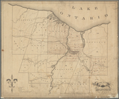
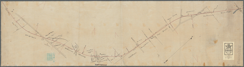
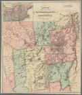
A map of the Genesee lands in…
m
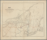
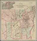
Map of New York and vicinity:…
Map of the boundary between t…
Map of the Sacketts Harbor an…
Lloyd's map of the Canadas, N…
Asher & Adams' new map of the…
Rand, McNally & Co.'s New York
m
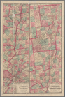
Map of the Hudson River, show…
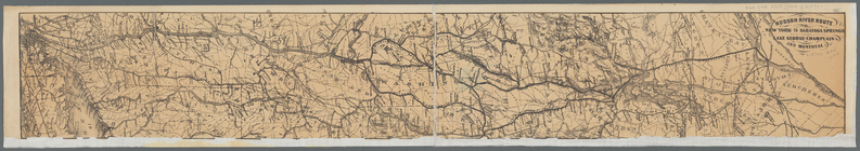
Hudson River route: New York …
[Map of the Hudson River] pre…
Diagram showing the relative …
m
Map of Cayuga and Seneca Coun…
m
Map of Otsego Co., New York: …
m
Colton's road map of Long Isl…
Colton's Road map of Sullivan…
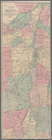
A map of the towns of Livings…
Map of the meetings constitut…
Onondaga County & adjacent te…
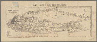
Long Island for the summer
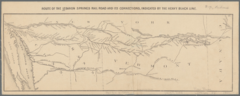
Route of the Lebanon Springs …
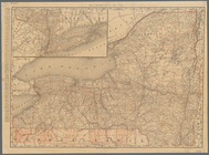
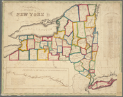
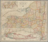
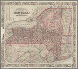
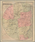
Map of the State of New York
Cattaraugus Reservation of th…
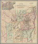
County of Monroe
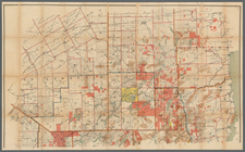
Map showing the position of t…
Rand McNally & Co.'s new rail…
Map of the rail roads of the …
N.Y State Survey: triangulati…
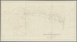
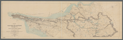
Map of the New York and North…
Coltons map of the New York w…
Colton's railroad & township …
Plan showing route of Rochest…
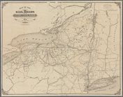
Map of the Adirondack wildern…
Map of the New York wildernes…
m
Map of the Adirondack Forest …
Colton's map of the New York …
Map of the Adirondack wildern…
Map of the Adirondack wildern…
A chorographical map of the p…
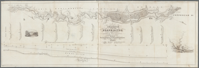
Sketch of part of the Black R…
Map of the New York Wildernes…
Map of the New York Wildernes…
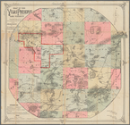
Map of the Vilas Preserve and…
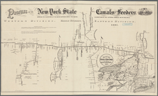
Profiles of the New York Stat…
Specimen of preliminary recon…
Map of Hamilton, St. Lawrence…
Asher & Adams' new map of the…
Map no. I, New Netherland
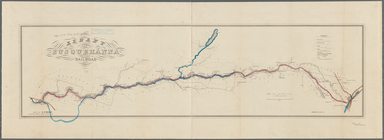
Albany and Susquehanna Railro…
m
Map of the town of Westcheste…
Map of the New York wildernes…
1
2
3
4
5
6
7
8
9
10
…
48
49
Previous
Next
1
2
3
4
5
6
7
8
9
10
…
48
49
Previous
Next