Click to visit the main New York Public Library Homepage
The New York Public Library
Digital Collections
About Digital Collections
Browse
Search only public domain materials
Items
Collections
Divisions
Home
Search
Browse
About
Search only public domain materials
Items
Collections
Divisions
Digital Collections
Using Images
Using Data
Search
Filtered search
Show filters
Hide filters
Show Only Public Domain
topic
Real property
10267
Fire insurance
5221
Cities & towns
5007
Business enterprises
469
Landowners
311
More
Less
name
Sanborn Map Company
5095
G.W. Bromley & Co
2180
Ullitz, Hugo
735
E.B. Hyde & Co
546
E. Belcher Hyde Map Company
488
More
Less
collection
Atlases of New York City
8612
Atlases of the United States
2037
Maps of New York City and State
1303
Collection of broadside real estate maps announcing auctions of lots in early 19th century New York City
67
Maps of North America
45
More
Less
place
x
New York (State)
New York
3805
Manhattan (New York, N.Y.)
2150
New York (N.Y.)
1219
Brooklyn (New York, N.Y.)
993
More
Less
genre
Maps
11777
Atlases
2036
Cadastral maps
246
Indexes
127
Title pages
82
More
Less
publisher
Sanborn Map Company
5009
G.W. Bromley & Co
2051
E. Belcher Hyde
557
E. Robinson Co
246
F. W. Beers & Co
148
More
Less
division
Map Division
12097
type
cartographic
11852
text
371
still image
24
Date Range
to
12,097 results found
Filtering on:
x
Location
: Map Division
x
Place
: New York (State)
x
Rights
: Public Domain
For more division details, visit the
Lionel Pincus and Princess Firyal Map Division division page
.
Sort by:
Title
Date created
Date digitized
Sequence
Results 1001 - 1050
Map showing the relative posi…
Map of Garret Nostrand's farm…
A view of Collect Pond and it…
A view of Collect Pond and it…
m
Map of valuable property at V…
Map of the state of New York …
A geological section of the c…
Map showing the old farms : f…
Map of the real estate in the…
A map of the village of Willi…
Green-wood cemetery
Map of the state of New York …
Map of valuable property situ…
Map of 465 valuable building …
Map of the state of New York …
Map of New-York : on the impr…
m
Plan for the drainage of that…
Report of the Street Committe…
Map of the State of New York …
A map of the eastern part of …
m
Oyster Bay and Huntington, Hu…
Map showing land required for…
Plan[s] of Majr. Douglas's re…
m
Map of the progress of His Ma…
A plan of the country from Fr…
m
Plan of the encampment and po…
m
Plan of the encampment and po…
Map of the western part of th…
Map of the village of Hermann…
Village of Livingston's Landi…
Map of the Lakeland farms, ne…
m
Geological map of Long & Stat…
Route of the Albany & West St…
Green-wood cemetery
Albany Rural Cemetery
Map of a tract of land called…
Map of the meetings constitut…
The Empire State, New York : …
Plan of the city of New-York …
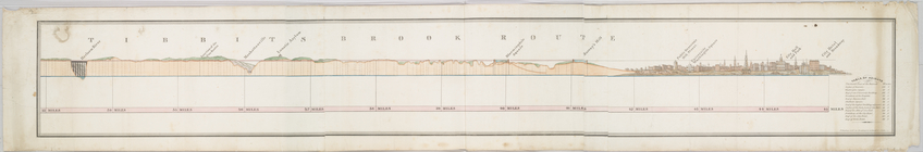
Tibbits Brook route.
Plan des forts, batteries et …
The Fort in New Yorke
Map and plan to illustrate th…
The Fort of Albany
Kingstone.
The tourist's map of the stat…
A map of the state of New Yor…
Map of the local boundaries o…
Map of the city of New York.
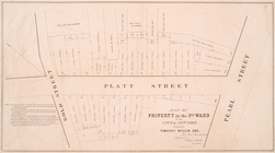
Map of property in the 2nd wa…
1
2
3
4
5
6
7
8
9
10
…
48
49
Previous
Next
1
2
3
4
5
6
7
8
9
10
…
48
49
Previous
Next