Click to visit the main New York Public Library Homepage
The New York Public Library
Digital Collections
About Digital Collections
Browse
Search only public domain materials
Items
Collections
Divisions
Home
Search
Browse
About
Search only public domain materials
Items
Collections
Divisions
Digital Collections
Using Images
Using Data
Search
Filtered search
Show filters
Hide filters
Show Only Public Domain
topic
Real property
10267
Fire insurance
5221
Cities & towns
5007
Business enterprises
469
Landowners
311
More
Less
name
Sanborn Map Company
5095
G.W. Bromley & Co
2180
Ullitz, Hugo
735
E.B. Hyde & Co
546
E. Belcher Hyde Map Company
488
More
Less
collection
Atlases of New York City
8612
Atlases of the United States
2037
Maps of New York City and State
1303
Collection of broadside real estate maps announcing auctions of lots in early 19th century New York City
67
Maps of North America
45
More
Less
place
x
New York (State)
New York
3805
Manhattan (New York, N.Y.)
2150
New York (N.Y.)
1219
Brooklyn (New York, N.Y.)
993
More
Less
genre
Maps
11777
Atlases
2036
Cadastral maps
246
Indexes
127
Title pages
82
More
Less
publisher
Sanborn Map Company
5009
G.W. Bromley & Co
2051
E. Belcher Hyde
557
E. Robinson Co
246
F. W. Beers & Co
148
More
Less
division
Map Division
12097
type
cartographic
11852
text
371
still image
24
Date Range
to
12,097 results found
Filtering on:
x
Location
: Map Division
x
Place
: New York (State)
x
Rights
: Public Domain
For more division details, visit the
Lionel Pincus and Princess Firyal Map Division division page
.
Sort by:
Title
Date created
Date digitized
Sequence
Results 1251 - 1300
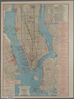
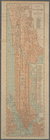
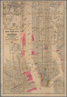
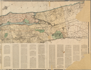
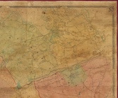
The lower part of New York Ci…
New York City
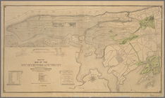
Map of the northern part of t…
Block distribution of childre…
Social map of the Lower East …
Queens Borough, City of New Y…
m
Edsalls' New York City guide …
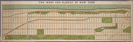
The west end plateau of New Y…
Land register map of the City…
Map of land to be acquired un…
m
Profile of Riverside Drive fr…
m
Taunton new guide map and dir…
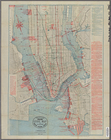
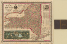
City of New York
Elevated railway map of New Y…
Map of the City of New York :…
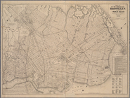
Map of the borough of Brookly…
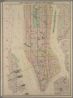
Map of New York City
Plan of High Bridge Park, sho…
City of New York
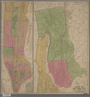
Map of the County of New York…
International Exhibition 1883…
m
Goulding's directory map of N…
Sketch map of the city of New…
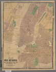
New map of the great metropol…
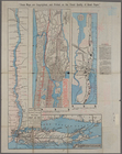
New York City south of 93rd S…
m
Taunton new guide map and dir…
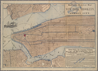
Map of New York City and surr…
m
Bureau of roads
m
City of New York, map of the …
m
What annexation would accompl…
m
Map of the northern portion o…
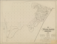
Map of the Wood Lawn Cemetery…
Map of the Wood Lawn Cemetery…
Plan of streets etc. on the L…
m
A new township map of the sta…
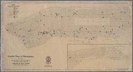
Health map of Manhattan: prep…
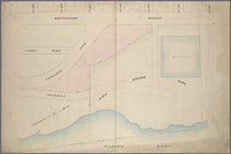
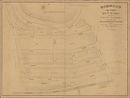
Norwood in the 24th ward of t…
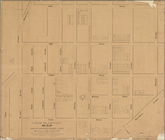
Map of John W. Decker's house…
m
Map showing steam, cable, and…
m
Map or plan showing the stree…
Map showing the location of t…
Bronx plat map, Alexander to …
m
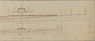
General plan, Third Avenue Br…
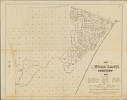
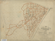
Map of the Woodlawn Cemetery
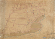
Map or plan of section 10 [Cr…
m
Sketch showing the southern b…
Preliminary plan of the zoolo…
m
Map of Kings and part of Quee…
m
Plan of property situate in t…
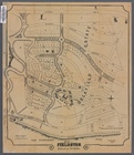
Fieldston, Riverdale-on-Hudso…
1
2
3
4
5
6
7
8
9
10
…
48
49
Previous
Next
1
2
3
4
5
6
7
8
9
10
…
48
49
Previous
Next