Click to visit the main New York Public Library Homepage
The New York Public Library
Digital Collections
About Digital Collections
Browse
Search only public domain materials
Items
Collections
Divisions
Home
Search
Browse
About
Search only public domain materials
Items
Collections
Divisions
Digital Collections
Using Images
Using Data
Search
Filtered keyword search
Show filters
Hide filters
Show Only Public Domain
topic
Description and travel
16
Railroads
7
Indians of North America
5
Angels
4
Animals
4
More
Less
name
Ogilby, John (1600-1676)
15
Thornton, Samuel
8
Keeler, W. J. (William J.)
3
Warren, G. K. (Gouverneur Kemble), 1830-1882
3
Dubois, N. (Dutch artist, 18th century)
2
More
Less
collection
Africa: being an accurate description of the regions of Ægypt, Barbary, Lybia, and Billedulgerid, the land of Negroes, Guinee, Æthiopia, and the Abyssines, with all the adjacent islands ... collected and translated from most authentick authors ... by John Ogilby ..
15
Atlases, gazetteers, guidebooks and other books
11
Maps of North America
9
Lawrence H. Slaughter Collection of English maps, charts, globes, books and atlases
2
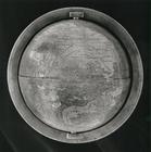
Hunt-Lenox Globe
1
More
Less
place
Africa
16
Islands of the Atlantic
15
Islands of the Indian Ocean
15
South Africa
15
Indian Ocean
12
More
Less
genre
Maps
24
Illustrations
15
Prints
15
Nautical charts
8
Globes
1
publisher
War Department
3
P. Goos
2
W.J. Keeler
2
Chapman and Hall
1
Chez Didot, Libraire, Quai des Augustins, a la Bible d'or
1
More
Less
division
Map Division
23
General Research Division
15
Rare Book Division
1
Schomburg Jean Blackwell Hutson Research and Reference Division
1
type
x
cartographic
three dimensional object
1
Date Range
to
40 results found for:
x
Indian Ocean
Filtering on:
x
Type
: cartographic
Sort by:
Relevance
Title
Date created
Date digitized
Sequence
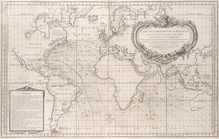
Carte des variations de la bo…
note:
… and
Indian
Oceans
Asia and
Indian
Ocean
.
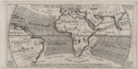
Representation du cours ordin…
note:
Map of
Indian
A draught of the coast of NEW…
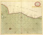
A large draught of the coast …
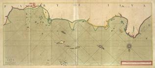
A new chart of the coast of O…
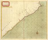
A large draught of parrt of t…
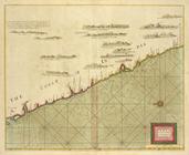
A new chart of part of the co…
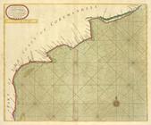
A large chart of part of the …
A chart of the eastermost par…
A chart of the WESTERN part o…
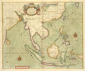
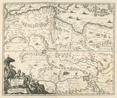
Paskaetrte zynde t'Oosterdeel…
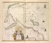
Islands in the
Indian
Ocean
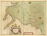
Nova Aegypti Tabula.
Barbaria Biledulgered o: Liby…
Fezzae et Marocchi Regna Afri…
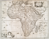
Africae Accurata Tabula ex Of…
The Citty of Tanger.
Nigritarum Regio.
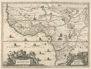
Gvinea.
Aethiopia Inferior vel Exteri…
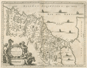
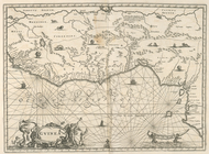
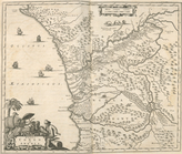
Regna Congo et Angola.
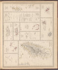
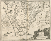
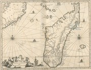
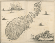
Insvla S. Lavrentii, vulgo Ma…
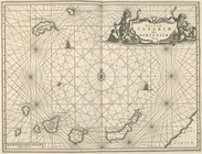
Insulae Canariae alias Fortun…
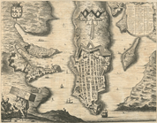
Melite Insula vulgo Masia.
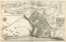
Difegno Della Citta Valletta.
Aethipia Superior vel Interio…
Insulae Promontori Viridis, H…
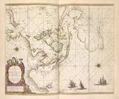
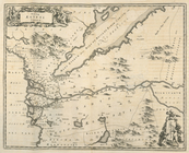
Pascaerte van westelijcke dee…
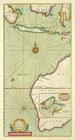
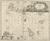
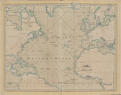
The Atlantic or Western
Ocean
note:
Added t.p., engr.: The West
Indian
atlas; or
m
… to the Pacific
Ocean
topic:
Indian
reservations
m
… to the Pacific
Ocean
note:
…, railroads,
Indian
m
… to the Pacific
Ocean
note:
…, railroads,
Indian
…
Ocean
: ordered
note:
Shows
Indian
tribal locations, military posts
A map of East and West Florid…
note:
… &
Indian
War.
m
… to the Pacific
Ocean
note:
Shows
Indian
tribal locations, military posts
A new and accurate map of the…
note:
…
Ocean
-- Fort Frederick
m
… to the Pacific
Ocean
note:
Shows
Indian
tribal locations, military posts
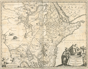
No. 15 map of Oregon and Uppe…
abstract:
…
Ocean
. Shows locations
Map no. 1 from San Francisco …
abstract:
… to the Pacific
Ocean
; War
End of results
|
Top