


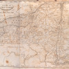
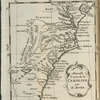
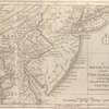
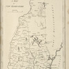
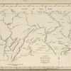
![A map of Massachusets [sic] from the best authorities.](https://images.nypl.org/index.php?id=1567521&t=b)
- The Library Shop
- Privacy Policy
- Rules and Regulations
- Using the Internet
- Website Terms and Conditions
- Gifts of Materials to NYPL
-
© The New York Public Library, 2024
The New York Public Library is a 501(c)(3) | EIN 13-1887440
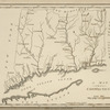
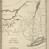
Lawrence H. Slaughter Collection of English maps, charts, globes, books and atlases
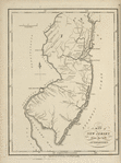
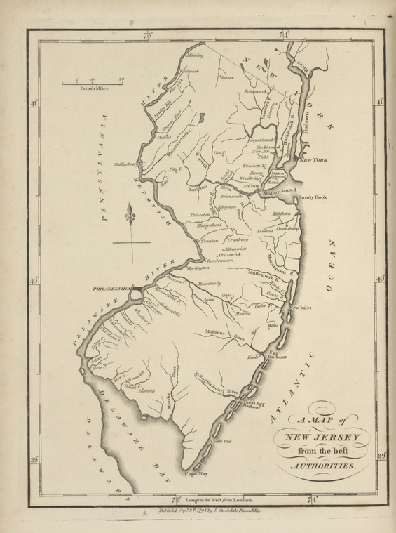
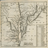
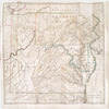
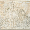
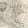
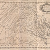
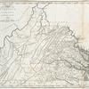
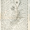
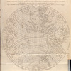
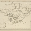
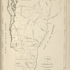
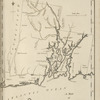
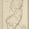
Lionel Pincus and Princess Firyal Map Division, The New York Public Library. "A map of New Jersey " The New York Public Library Digital Collections. 1794. https://digitalcollections.nypl.org/items/510d47e3-047a-a3d9-e040-e00a18064a99
Lionel Pincus and Princess Firyal Map Division, The New York Public Library. "A map of New Jersey " New York Public Library Digital Collections. Accessed April 28, 2024. https://digitalcollections.nypl.org/items/510d47e3-047a-a3d9-e040-e00a18064a99
Lionel Pincus and Princess Firyal Map Division, The New York Public Library. (1794). A map of New Jersey Retrieved from https://digitalcollections.nypl.org/items/510d47e3-047a-a3d9-e040-e00a18064a99
<ref name=NYPL>{{cite web | url=https://digitalcollections.nypl.org/items/510d47e3-047a-a3d9-e040-e00a18064a99 | title=
(cartographic)
A map of New Jersey , (1794)
|author=Digital Collections, The New York Public Library |accessdate=April 28, 2024 |publisher=The New York Public Library, Astor, Lenox, and Tilden Foundations}}</ref>