Click to visit the main New York Public Library Homepage
The New York Public Library
Digital Collections
About Digital Collections
Browse
Search only public domain materials
Items
Collections
Divisions
Home
Search
Browse
About
Search only public domain materials
Items
Collections
Divisions
Digital Collections
Using Images
Using Data
Search
Filtered keyword search
Show filters
Hide filters
Show Only Public Domain
topic
Real property
7289
Fire insurance
5079
Cities & towns
4996
Maps
216
Business enterprises
196
More
Less
name
Sanborn Map Company
5079
G.W. Bromley & Co
1525
Ullitz, Hugo
559
E.B. Hyde & Co
496
E. Belcher Hyde Map Company
448
More
Less
collection
Atlases of New York City
7294
Atlases of the United States
301
Maps of New York City and State
58
Maps of North America
9
Report of the Council of hygiene and public health of the Citizens' Association of New York upon the sanitary condition of the city
1
More
Less
place
New York (State)
7345
New York
1673
Manhattan (New York, N.Y.)
1089
New York (N.Y.)
660
Brooklyn (New York, N.Y.)
513
More
Less
genre
x
Maps
Atlases
300
Indexes
61
Index maps
39
Topographic maps
16
More
Less
publisher
Sanborn Map Company
4998
G.W. Bromley & Co
1521
E. Belcher Hyde
384
E.B. Hyde & Co
111
E. Robinson Co
86
More
Less
division
Map Division
7662
General Research Division
2
type
cartographic
7616
text
86
still image
2
Date Range
to
Looking for this collection?
Atlases of New York City
11,722 items
7,664 results found for:
x
N. Y. Eng. Co
Filtering on:
x
Genre
: Maps
Sort by:
Relevance
Title
Date created
Date digitized
Sequence
Results 1251 - 1300
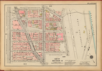
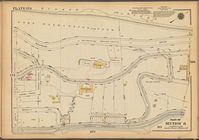
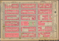
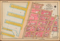
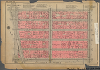
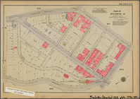
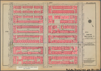
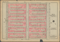
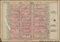
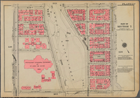
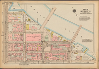
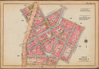
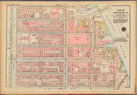
Plate 134, Part of Section 7:…
Plate 139, Part of Section 7:…
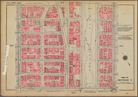
Bounded by Broadway, (Harlem …
Plate 139, Part of Section 7:…
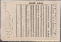
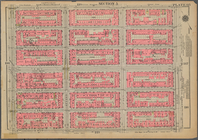
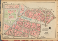
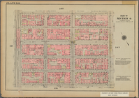
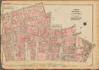
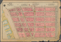
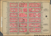
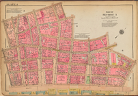
Block Index [With the Manhatt…
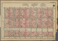
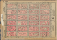
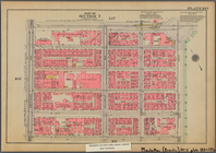
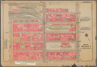
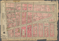
Plate 167, Part of Section 8:…
Bounded by Stanton Street, Wi…
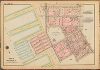
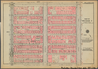
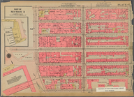
Plate 6: [Bounded by Reade St…
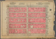
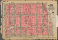
Plate 178, Part of Section 8:…
Bounded by E. 32nd Street, Th…
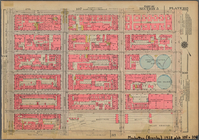
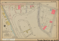
Bounded by W. 42nd Street, Se…
Bounded by W. 37th Street, Ni…
Bounded by E. 71st Street, Av…
Bounded by Cathedral Parkway,…
Bounded by W. 53rd Street, Se…
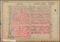
Plate 177, Part of Section 8:…
Plate 36: [Bounded by Jane St…
Bounded by E. 89th Street, Av…
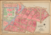
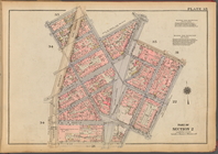
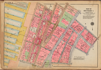
Plate 33, Part of Section 2: …
Plate 2, Part of Section 1: […
Bounded by W. 47th Street, Fi…
Bounded by W. 32nd Street, Ni…
Bounded by E. 42nd Street, Th…
Plate 6, Part of Section 1: […
Bounded by Broadway, Sherman …
Bounded by E. 127th Street, S…
Bounded by Broadway, E. 8th S…
Bounded by Prince Street, Cle…
Bounded by W. 139th Street, L…
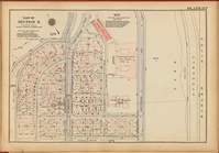
Plate 2: [Bounded by Carlisle…
Bounded by W. 31st Street, Se…
Bounded by W. 37th Street, Fi…
Bounded by W. 133rd Street, L…
Bounded by W. 151st Street, E…
Plate 4, Part of Section 1: […
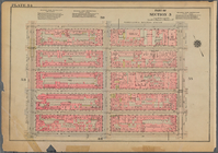
Plate 38, Part of Section 2: …
Bounded by E. 116th Street, S…
Bounded by Reade Street, Broa…
Bounded by W. 145th Street, L…
Bounded by E. 65th Street, Av…
Bounded by W. 116th Street, E…
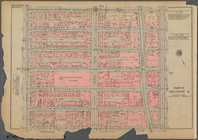
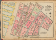
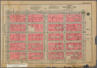
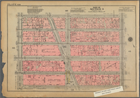
Plate 148, Part of Section 6:…
Plate 33: [Bounded by Barrow …
Bounded by E. 83rd Street, Av…
Plate 152, Part of Section 6:…
Bounded by E. 122nd Street, S…
Bounded by W. 26th Street, Ni…
Bounded by Dyckman Street, Sh…
Bounded by W. 20th Street, Se…
Plate 4: [Bounded by William …
1
2
3
4
5
6
7
8
9
10
…
30
31
Previous
Next
1
2
3
4
5
6
7
8
9
10
…
30
31
Previous
Next