Click to visit the main New York Public Library Homepage
The New York Public Library
Digital Collections
About Digital Collections
Browse
Search only public domain materials
Items
Collections
Divisions
Home
Search
Browse
About
Search only public domain materials
Items
Collections
Divisions
Digital Collections
Using Images
Using Data
Search
Filtered keyword search
Show filters
Hide filters
Show Only Public Domain
topic
Real property
7289
Fire insurance
5079
Cities & towns
4996
Maps
216
Business enterprises
196
More
Less
name
Sanborn Map Company
5079
G.W. Bromley & Co
1525
Ullitz, Hugo
559
E.B. Hyde & Co
496
E. Belcher Hyde Map Company
448
More
Less
collection
Atlases of New York City
7294
Atlases of the United States
301
Maps of New York City and State
58
Maps of North America
9
Report of the Council of hygiene and public health of the Citizens' Association of New York upon the sanitary condition of the city
1
More
Less
place
New York (State)
7345
New York
1673
Manhattan (New York, N.Y.)
1089
New York (N.Y.)
660
Brooklyn (New York, N.Y.)
513
More
Less
genre
x
Maps
Atlases
300
Indexes
61
Index maps
39
Topographic maps
16
More
Less
publisher
Sanborn Map Company
4998
G.W. Bromley & Co
1521
E. Belcher Hyde
384
E.B. Hyde & Co
111
E. Robinson Co
86
More
Less
division
Map Division
7662
General Research Division
2
type
cartographic
7616
text
86
still image
2
Date Range
to
Looking for this collection?
Atlases of New York City
11,722 items
7,664 results found for:
x
N. Y. Eng. Co
Filtering on:
x
Genre
: Maps
Sort by:
Relevance
Title
Date created
Date digitized
Sequence
Results 1751 - 1800
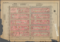
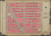
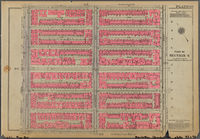
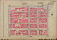
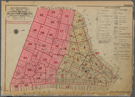
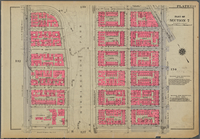
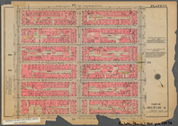
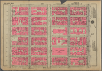
Bounded by W. 47th Street, Ni…
Bounded by E. 83rd Street, Th…
Bounded by W. 95th Street, Am…
Bounded by W. 83rd Street, Ce…
Bounded by Central Park South…
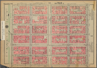
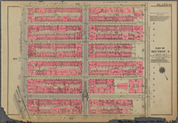
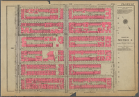
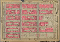
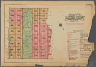
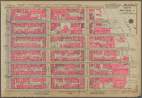
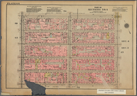
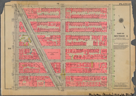
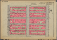
Plate 81, Part of Section 4: …
Plate 83, Part of Sections 4 …
Bounded by W. 215th Street, B…
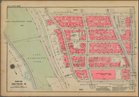
Plate 87, Part of Section 4: …
Plate 89, Part of Section 4: …
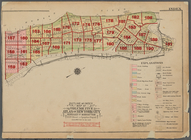
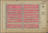
Outline and Index Map of Volu…
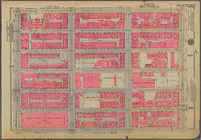
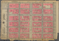
Plate 91, Part of Section 4: …
Plate 93, Part of Section 4: …
Plate 95, Part of Section 4: …
Plate 97, Part of Section 4: …
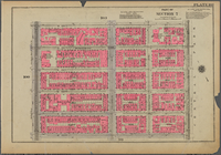
Plate 99, Part of Sections 4 …
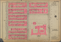
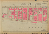
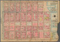
Plate 101, Part of Section 7:…
Plate 103, Part of Section 7:…
Plate 105, Part of Section 5:…
Plate 107, Part of Section 5:…
Plate 109, Part of Section 5:…
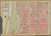
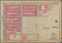
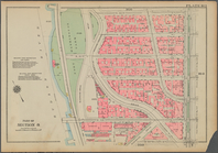
Bounded by E. 110th Street, T…
Bounded by Nagle Avenue, Amst…
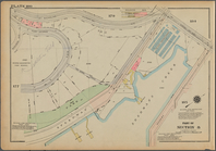
Bounded by Cold Spring Road, …
Bounded by East Broadway, Pik…
Outline and Index Map of Volu…
Outline and Index Map of Volu…
Bounded by Stanton Street, To…
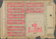
Plate 131, Part of Section 6:…
Plate 133, Part of Section 7:…
Plate 137, Part of Section 6:…
Bounded by St. Nicholas Avenu…
Bounded by W. 42nd Street, Ni…
Bounded by W. 53rd Street, Ni…
Bounded by W. 71st Street, Ce…
Bounded by W. 173rd Street, S…
Plate 84, Part of Section 5: …
Bounded by W. 32nd Street, Fi…
Bounded by Avenue A, E. 67th …
Plate 130, Part of Section 6:…
Plate 102, Part of Section 7:…
Plate 134, Part of Section 7:…
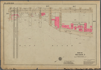
Bounded by (Hudson River Pier…
Plate 104, Part of Section 5:…
Plate 136, Part of Section 6:…
Plate 106, Part of Section 5:…
Plate 108, Part of Section 5:…
Bounded by W. 163rd Street, B…
Plate 140, Part of Section 7:…
Plate 110, Part of Section 5:…
1
2
…
5
6
7
8
9
10
11
12
…
30
31
Previous
Next
1
2
…
5
6
7
8
9
10
11
12
…
30
31
Previous
Next