Click to visit the main New York Public Library Homepage
The New York Public Library
Digital Collections
About Digital Collections
Browse
Search only public domain materials
Items
Collections
Divisions
Home
Search
Browse
About
Search only public domain materials
Items
Collections
Divisions
Digital Collections
Using Images
Using Data
Search
Filtered keyword search
Show filters
Hide filters
Show Only Public Domain
topic
Real property
7289
Fire insurance
5079
Cities & towns
4996
Maps
216
Business enterprises
196
More
Less
name
Sanborn Map Company
5079
G.W. Bromley & Co
1525
Ullitz, Hugo
559
E.B. Hyde & Co
496
E. Belcher Hyde Map Company
448
More
Less
collection
Atlases of New York City
7294
Atlases of the United States
301
Maps of New York City and State
58
Maps of North America
9
Report of the Council of hygiene and public health of the Citizens' Association of New York upon the sanitary condition of the city
1
More
Less
place
New York (State)
7345
New York
1673
Manhattan (New York, N.Y.)
1089
New York (N.Y.)
660
Brooklyn (New York, N.Y.)
513
More
Less
genre
x
Maps
Atlases
300
Indexes
61
Index maps
39
Topographic maps
16
More
Less
publisher
Sanborn Map Company
4998
G.W. Bromley & Co
1521
E. Belcher Hyde
384
E.B. Hyde & Co
111
E. Robinson Co
86
More
Less
division
Map Division
7662
General Research Division
2
type
cartographic
7616
text
86
still image
2
Date Range
to
Looking for this collection?
Atlases of New York City
11,722 items
7,664 results found for:
x
N. Y. Eng. Co
Filtering on:
x
Genre
: Maps
Sort by:
Relevance
Title
Date created
Date digitized
Sequence
Results 2001 - 2050
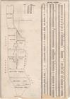
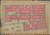
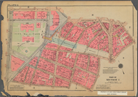
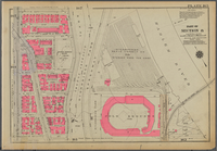
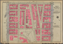
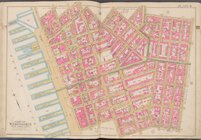
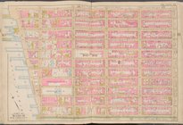
BLOCK INDEX. [Includes the ma…
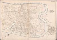
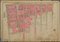
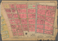
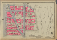
Bounded by Boulevard Lafayett…
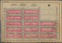
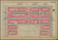
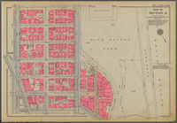
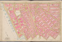
Outline and Index Map of Volu…
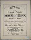
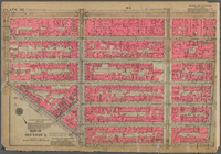
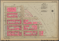
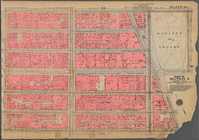
Atlas and owners names, borou…
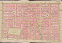
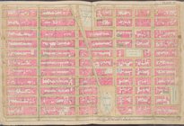
Plate 24, Part of Section 2: …
Plate 26, Part of Section 2: …
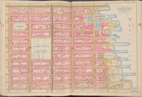
Plate 28, Part of Section 2: …
Plate 32, Part of Section 2: …
Plate 34, Part of Section 2: …
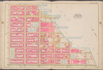
Plate 172, Part of Section 8:…
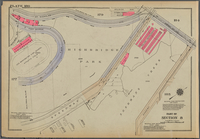
Bounded by W. 167th Street, (…
Plate 178, Part of Section 8:…
Plate 180, Part of Section 8:…
Plate 182, Part of Section 8:…
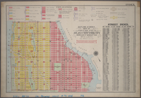
Street Index. ; Street Index …
Street Index ; Street Index o…
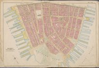
Bounded by Reade Street, Duan…
Bounded by Vesey Street, Ann …
Plate 141, Part of Section 6:…
Plate 143, Part of Section 6:…
Plate 165, Part of Section 8:…
Plate 167, Part of Section 8:…
Plate 169, Part of Section 8:…
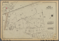
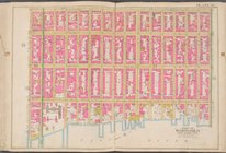
Bounded by W. 26th Street, E.…
Bounded by Avenue A, E. 85th …
Bounded by E. 133rd Street, (…
Bounded by W. 122nd Street, M…
Plate 144, Part of Section 7:…
Plate 154, Part of Section 7:…
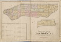
Outline and Index map of New …
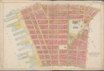
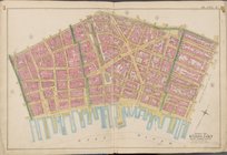
Map bounded by Liberty St., M…
Map bounded by Jay St., Thoma…
Map bounded by William St., P…
Map bounded by Broome St., Di…
Map bounded by Division St., …
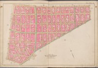
Map bounded by E. 3rd St., Ea…
Map bounded by Charles St., W…
Map bounded by W. 14th St., 6…
Map bounded by E. 14th St., 1…
Map bounded by E. 14th St., E…
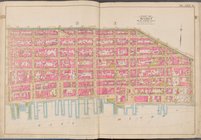
Map bounded by W. 25th St., 7…
Map bounded by W. 25th St., 2…
Map bounded by E. 25th St., E…
Map bounded by Lexington Ave.…
Map bounded by E. 36th St., L…
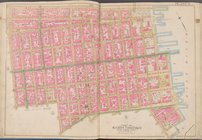
Map bounded by W. 36th St., 8…
Map bounded by W. 47th St., 8…
Map bounded by W. 47th St., L…
Map bounded by Lexington Ave.…
Map bounded by 6th Ave., E. 6…
1
2
…
6
7
8
9
10
11
12
13
…
30
31
Previous
Next
1
2
…
6
7
8
9
10
11
12
13
…
30
31
Previous
Next