Click to visit the main New York Public Library Homepage
The New York Public Library
Digital Collections
About Digital Collections
Browse
Search only public domain materials
Items
Collections
Divisions
Home
Search
Browse
About
Search only public domain materials
Items
Collections
Divisions
Digital Collections
Using Images
Using Data
Search
Filtered search
Show filters
Hide filters
Show Only Public Domain
topic
Real property
10889
Fire insurance
5305
Cities & towns
5007
City planning
1087
Social conditions
942
More
Less
name
Sanborn Map Company
5108
G.W. Bromley & Co
2551
New York (N.Y.). City Planning Commission
980
M.I.T. Press
942
Bromley, George Washington
857
More
Less
collection
Atlases of New York City
11592
Atlases of the United States
3839
Maps of North America
3345
Maps of New York City and State
2057
Lawrence H. Slaughter Collection of English maps, charts, globes, books and atlases
1248
More
Less
place
New York (State)
13151
New York
4862
New York (N.Y.)
3351
Manhattan (New York, N.Y.)
2239
Brooklyn (New York, N.Y.)
1212
More
Less
genre
Maps
23265
Atlases
3762
Topographic maps
1050
Cadastral maps
594
Nautical charts
394
More
Less
publisher
Sanborn Map Company
5145
G.W. Bromley & Co
2371
MIT Press
942
E. Belcher Hyde
807
K.u.K. Militargeographisches Institut
774
More
Less
division
Map Division
23798
type
cartographic
22270
still image
1222
text
755
Date Range
to
23,798 results found
Filtering on:
x
Location
: Map Division
For more division details, visit the
Lionel Pincus and Princess Firyal Map Division division page
.
Sort by:
Title
Date created
Date digitized
Sequence
Results 2751 - 2800
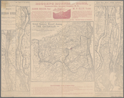
Palisades of the Potomac [Fox…
Carte d'une partie des côtes …
A plat exhibiting the state o…
Map of the City of Wilmington…
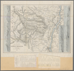
Vermont, from actual survey :…
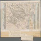
Map of Bennington County, Ver…
m
An accurate chart of the coas…
Map of the territory of Flori…
The state of Florida
A new sectional map of Florid…
State of Florida: compiled fr…
Map of the state of Florida
Map of the head waters of the…
Aqueduct Commissioners topogr…
Map showing the only all rail…
Map of Niagara Falls, and gui…
m
Maps of the picturesque Catsk…
m
Map of the Catskill Mountains
Karte der Wasserstrassen im n…
Plate I. Map of the watershed…
Map of the River Niagara and …
Johnson's United States
Adirondack survey, 1873: prim…
A prospective view of the bat…
War Department weather map: N…
A map of a tract of land in t…
Map of the mouth of big Sandy…
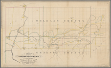
Map of Tonawanda Swamp in the…
Van Loan's road map of the Ca…
Survey for a ship canal aroun…
Topographical map, United Sta…
Railway & tourists map of the…
m
Map of the Catskill Mountains
m
Map of the United States
m
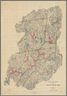
Map of Essex County, New Jers…
m
Topographical map of the stat…
A series of columnar sections…
Geological map of the state o…
Fac simile of Holmes' map of …
A topographical map of a part…
Topographical map of the stat…
Extract of military map of N.…
Topographical map of the Dist…
State of Florida
Map of the state of Florida :…
Map of the State of Florida :…
Florida Land and Improvement …
Map of the city of Washington…
Map of the city of Washington…
Map of the city of Washington…
1
2
…
9
10
11
12
13
14
15
16
…
95
96
Previous
Next
1
2
…
9
10
11
12
13
14
15
16
…
95
96
Previous
Next