Click to visit the main New York Public Library Homepage
The New York Public Library
Digital Collections
About Digital Collections
Browse
Search only public domain materials
Items
Collections
Divisions
Home
Search
Browse
About
Search only public domain materials
Items
Collections
Divisions
Digital Collections
Using Images
Using Data
Search
Keyword search
Show filters
Hide filters
Show Only Public Domain
topic
Nautical charts
382
Harbors
72
Coasts
61
Navigation
32
Pilot guides
8
More
Less
name
United States Coast Survey
199
Thornton, Samuel
173
Bache, A. D. (Alexander Dallas), 1806-1867
171
Mathiot, G
47
Alden, James, 1810-1877
31
More
Less
collection
Maps of North America
254
Atlases, gazetteers, guidebooks and other books
178
Lawrence H. Slaughter Collection of English maps, charts, globes, books and atlases
71
Maps of New York City and State
37
Maps of the Oceans
12
More
Less
place
Atlantic Ocean
55
New York (N.Y.)
35
New Jersey
34
Maps
32
Massachusetts
31
More
Less
genre
Maps
569
Nautical charts
399
Bathymetric maps
100
Prints
10
Illustrations
4
More
Less
publisher
U.S. Coast Survey
95
U.S. Coast Survey Office
51
United States Coast Survey
21
publisher not identified
9
The Survey
6
More
Less
division
Map Division
560
Wallach Division: Print Collection
7
General Research Division
5
type
cartographic
571
still image
11
text
5
Date Range
to
572 results found for:
Nautical charts
Sort by:
Relevance
Title
Date created
Date digitized
Sequence
m
Carte trigonométrique des côt…
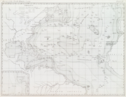
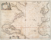
Basin of the North Atlantic O…
collection:
… and current
charts
,…
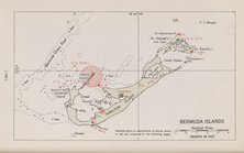
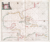
Bermuda Islands
A
chart
of the sea coast of New Foundland
topic:
Nautical
charts
…
chart
for the West
topic:
Nautical
charts
A general
chart
of the West India's [sic]
topic:
Nautical
charts
A
chart
of the sea coasts of New-England
topic:
Nautical
charts
A
chart
of the West Indies from Cape Cod
topic:
Nautical
charts
A
chart
of Delaware Bay and River
note:
Nautical
charts
, with depths shown by soundings
Pascaerte vande Vlaemsche, So…
topic:
Nautical
charts
Pas caerte van Nieu Nederland…
topic:
Nautical
charts
Pascaerte van Westindien : de…
topic:
Nautical
charts
m
A new
chart
of the coast of America from
note:
…:
Chart
of the coast
Chart
of the Atlantic Ocean.
topic:
Nautical
astronomy
Chart
of Long Island Sound, 1822
note:
… with "
Chart
and quadrant store
Entrance to New York Bay from…
note:
… with "
Chart
and quadrant store
Nautical
chart
of Little Egg Harbour, New
note:
… with "
Chart
and quadrant store
The Bay and river of Delaware
note:
… with "
Chart
and quadrant store
Chart
of the entrance to Chesapeake Bay
note:
… with "
Chart
and quadrant store
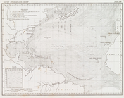
Gulf Stream and Drift
collection:
… and current
charts
,…
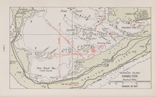
Bermuda Island. Hamilton
West-Indische paskaert: waer …
abstract:
Chart
of the Atlantic Ocean.
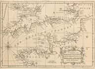
Mar del nort
topic:
Nautical
charts
A new
chart
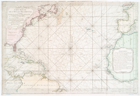
of the vast Atlantic Ocean
note:
… this
chart
with Mr. Popples
A
chart
of the English Channel
topic:
Nautical
charts
Bay and harbor of New York
note:
Includes text,
charts
, and views.
A new
chart
of the vast Atlantic Ocean
note:
… this
chart
with Mr. Popples
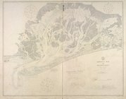
Jamaica Bay and Rockaway Inle…
collection:
… and Geodetic Survey.
Nautical
chart
; no. 542.
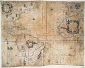
Carte réduite de l'Ocean occi…
topic:
Nautical
charts
Carte réduite de l'Ocean occi…
topic:
Nautical
charts
Carta general del Oceano Atla…
topic:
Nautical
charts
A
chart
of the Atlantic or Western Ocean
topic:
Nautical
charts
m
A
chart
of the Atlantic or Western Ocean
topic:
Nautical
charts
Chart
of the Atlantic Ocean
note:
Nautical
chart
of the North Atlantic Ocean
Tableau des courants observés…
topic:
Nautical
charts
An actual survey of the sea c…
note:
…, as also, a new
chart
Carte réduite des côtes orien…
topic:
Nautical
charts
Pas kaart van de zee kusten v…
topic:
Nautical
charts
Virginia, Maryland, Pennsilva…
note:
Nautical
chart
of the coast from New York Bay
Virginia, Maryland, Pennsilva…
note:
Nautical
chart
of the coast from New York Bay
m
The north eastern coast of No…
topic:
Nautical
charts
A
chart
of the coast of New York, New
topic:
Nautical
charts
Chart
of the coast of California from San Blas
note:
… on face of
chart
.
Chart
of Lake Ontario
topic:
Nautical
charts
A new map of Virginia, Maryla…
topic:
Nautical
charts
A new and accurate
chart
(from Captain
note:
…:
Charts
N.A. Coast 1799
A new and accurate
chart
(from Captain
note:
…, with improvements --
Chart
of New
… of the
Nautical
Institution
note:
… to form L-shaped
chart
A
chart
of the coast of America : from
note:
Nautical
chart
.
Bowles's new pocket map of th…
topic:
Nautical
charts
1
2
3
Previous
Next
1
2
3
Previous
Next