Click to visit the main New York Public Library Homepage
The New York Public Library
Digital Collections
About Digital Collections
Browse
Search only public domain materials
Items
Collections
Divisions
Home
Search
Browse
About
Search only public domain materials
Items
Collections
Divisions
Digital Collections
Using Images
Using Data
Search
Filtered search
Show filters
Hide filters
Show Only Public Domain
topic
Geography
141
History
92
Road maps
54
Nautical charts
50
Atlases, British
44
More
Less
name
Sayer, Robert, 1725-1794
61
Tiebout, Cornelius, 1777-1832
61
Colles, Christopher, 1738-1816
53
Cary, John, approximately 1754-1835
47
Faden, William, 1749-1836
46
More
Less
collection
Bancker plans
623
Lawrence H. Slaughter Collection of English maps, charts, globes, books and atlases
283
Maps of North America
188
Atlases, gazetteers, guidebooks and other books
70
Maps of New York City and State
46
More
Less
place
United States
153
Middle Atlantic States
75
North America
73
Great Britain
72
Maps
59
More
Less
genre
x
Maps
Surveys
622
land surveys
539
Documents
87
Prints
33
More
Less
publisher
Printed for John Cary
47
Printed for Robert Sayer, No. 53, Fleet-Street
44
Printed for J. Stockdale
25
publisher not identified
24
Imprimé à l'Université Imperiale de Moscou
22
More
Less
division
Manuscripts and Archives Division
631
Map Division
626
Rare Book Division
42
Wallach Division: Print Collection
28
General Research Division
14
More
Less
type
cartographic
1354
text
160
still image
10
Date Range
to
1,360 results found
Filtering on:
x
Date
: 1766 - 1794
x
Genre
: Maps
Sort by:
Title
Date created
Date digitized
Sequence
Results 1001 - 1050
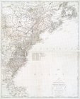
A chart of the coast of New Y…
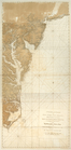
A chart of Delaware Bay and R…
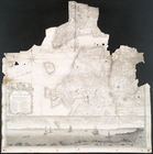
Plan of the city of New York …
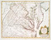
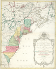
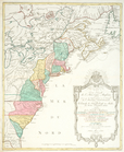
A map of the most inhabited p…
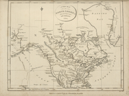
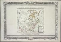
A new and correct map of Nort…
A New and correct map of the …
Carte nouvelle de l'Amerique …
Carte nouvelle de l'Amerique …
The seat of action between th…
Various plans and draughts of…
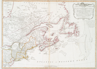
Chart of the entrance of Huds…
m
A chart of North and South Am…
m
A new map of the British colo…
A plan of the city of New-Yor…
A general map of North Americ…
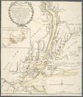
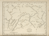
A chart of New York Island & …
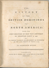
The history of the British do…
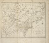
A new map of North America fr…
A new map of Upper and Lower …
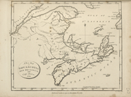
A new map of Nova Scotia, New…
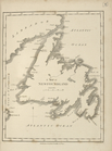
A map of Newfoundland.
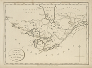
A map of the northern and mid…
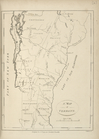
A map of Vermont.
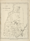
A map of New Hampshire.
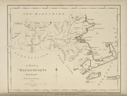
A map of Massachusets [sic] f…
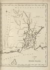
A map of Rhode Island.
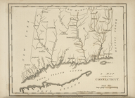
A map of Connecticut.
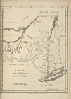
A map of the State of New Yor…
A map of Pennsylvania, from t…
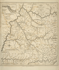
A map of the states of Virgin…
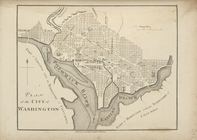
Plan of the city of Washingto…
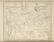
A map of the Back Settlements.
A map of Kentucky, drawn from…
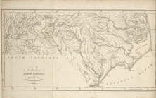
A map of North Carolina, from…
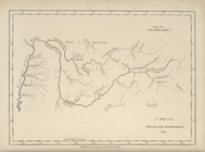
A map of the Tennessee Govern…
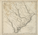
A map of South Carolina, from…
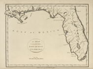
A map of the East and West Fl…
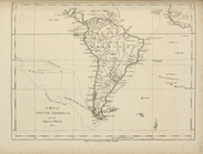
A map of South America and th…
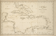
A map of the West Indies, fro…
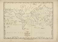
A map of the world, exhibitin…
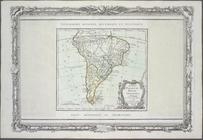
Chili, Paraguay, Bresil, Amaz…
Nouveau Mexique, Louisiane, C…
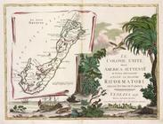
Le colonie unite dell' Americ…
Il paese de' Selvaggi Outauac…
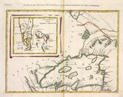
La parte Occidentale della Nu…
Parte Orientale del Canada, N…
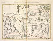
Il paese de' Selvaggi Outagam…
L'Acadia, le Provincie di Sag…
Il paese de'Cherachesi, con l…
La Giammaica.
1
2
3
4
5
6
Previous
Next
1
2
3
4
5
6
Previous
Next