Click to visit the main New York Public Library Homepage
The New York Public Library
Digital Collections
About Digital Collections
Browse
Search only public domain materials
Items
Collections
Divisions
Home
Search
Browse
About
Search only public domain materials
Items
Collections
Divisions
Digital Collections
Using Images
Using Data
Search
Filtered search
Show filters
Hide filters
Show Only Public Domain
topic
Geography
141
History
92
Road maps
54
Nautical charts
50
Atlases, British
44
More
Less
name
Sayer, Robert, 1725-1794
61
Tiebout, Cornelius, 1777-1832
61
Colles, Christopher, 1738-1816
53
Cary, John, approximately 1754-1835
47
Faden, William, 1749-1836
46
More
Less
collection
Bancker plans
623
Lawrence H. Slaughter Collection of English maps, charts, globes, books and atlases
283
Maps of North America
188
Atlases, gazetteers, guidebooks and other books
70
Maps of New York City and State
46
More
Less
place
United States
153
Middle Atlantic States
75
North America
73
Great Britain
72
Maps
59
More
Less
genre
x
Maps
Surveys
622
land surveys
539
Documents
87
Prints
33
More
Less
publisher
Printed for John Cary
47
Printed for Robert Sayer, No. 53, Fleet-Street
44
Printed for J. Stockdale
25
publisher not identified
24
Imprimé à l'Université Imperiale de Moscou
22
More
Less
division
Manuscripts and Archives Division
631
Map Division
626
Rare Book Division
42
Wallach Division: Print Collection
28
General Research Division
14
More
Less
type
cartographic
1354
text
160
still image
10
Date Range
to
1,360 results found
Filtering on:
x
Date
: 1766 - 1794
x
Genre
: Maps
Sort by:
Title
Date created
Date digitized
Sequence
Results 1251 - 1300
A complete map of the East In…
The East India Islands, compr…
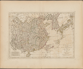
China, divided into its great…
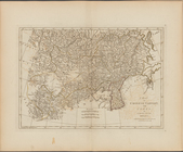
A map of Chinese Tartary, wit…
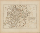
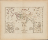
A compleat map of the Holy La…
Part IId. of the compleat map…
A map of the countries and pl…
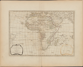
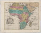
Africa and its several regions
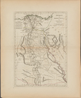
Ancient and modern Egypt
A map of Abyssinia and Nubia
A map of Barbary, containing …
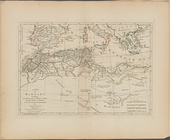
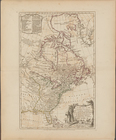
America North and South and t…
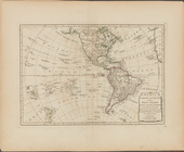
North America, with the West …
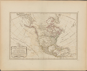
A new map of the United State…
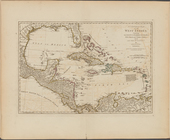
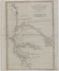
A compleat map of the West In…
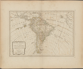
South America as divided amon…
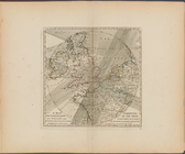
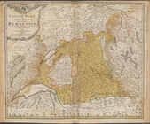
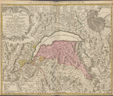
Switzerland divided into thir…
The Solar System
A map exhibiting the dark sha…
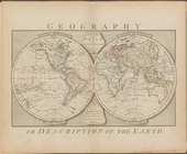
Geography, or description of …
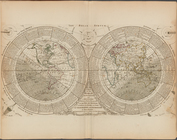
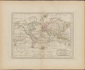
A new chart of the world on M…
Particular map of the western…
Plan de la côte de l'est de M…
Guinée entre Serre-Lione et l…
A map of the Island of Jamaic…
A new and accurate map of the…
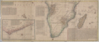
A new and accurate map of Afr…
Africa: with all its states, …
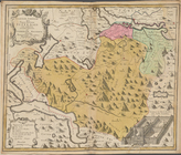
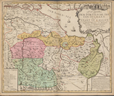
Canton Bern sive illustris He…
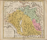
Canton Uri sive Pagus Helveti…
Canton Schweiz sive Pagus Hel…
Canton Unterwalden sive Pagus…
Canton Zug sive Pagus Helveti…
Canton Glarus sive Pagus Helv…
Canton Freiburg sive Pagus He…
Canton Solothurn sive pagus H…
Canton Appenzell sive pagus H…
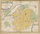
Nova landgraviatus Turgovia c…
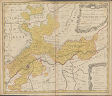
Der Furstliche Abt Von St. Ga…
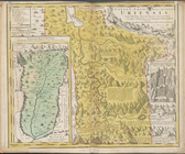
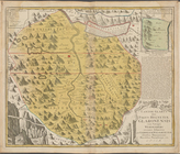
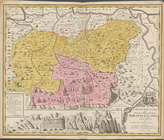
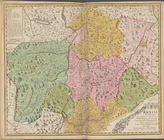
Rhatia Foederata ...
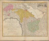
Novissima totius Lausonii siv…
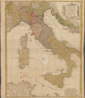
Italia in sous Status divisa …
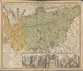
Vallesia Superior
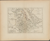
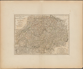
Generalkarte von dem Koenigre…
m
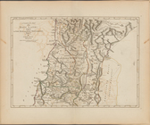
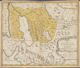
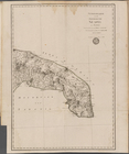
Province de Chen-si, no. 16
m
Province de Chen-si, no. 16
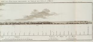
Paris à Tobolsk ... avec les …
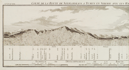
Coupe de la route de Solikams…
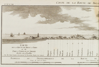
Coupe de la route de Brest à …
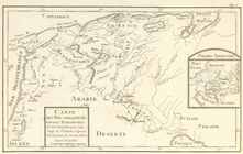
Carte des pays frequentés par…
1
2
3
4
5
6
Previous
Next
1
2
3
4
5
6
Previous
Next