Click to visit the main New York Public Library Homepage
The New York Public Library
Digital Collections
About Digital Collections
Browse
Search only public domain materials
Items
Collections
Divisions
Home
Search
Browse
About
Search only public domain materials
Items
Collections
Divisions
Digital Collections
Using Images
Using Data
Search
Filtered search
Show filters
Hide filters
Show Only Public Domain
topic
Geography
114
Historical geography
57
Maps in education
56
Road maps
54
Atlases
53
More
Less
name
Faden, William, 1749-1836
75
Tiebout, Cornelius, 1777-1832
63
Stockdale, John, 1749?-1814
54
Colles, Christopher, 1738-1816
53
Sayer, Robert, 1725-1794
47
More
Less
collection
Bancker plans
579
Lawrence H. Slaughter Collection of English maps, charts, globes, books and atlases
264
Maps of North America
136
Atlases, gazetteers, guidebooks and other books
88
The antiquities, natural history, ruins and other curiosities of Egypt, Nubia and Thebes. Exemplified in near two hundred drawings taken on the spot
40
More
Less
place
United States
129
Great Britain
103
England
86
Middle Atlantic States
62
Egypt
42
More
Less
genre
Maps
1272
Surveys
578
land surveys
510
Documents
74
Prints
64
More
Less
publisher
Published by Wm. Faden, geographer to His Majesty, and His R.H. the Prince of Wales
53
Printed for Robert Sayer, No. 53, Fleet-Street
44
Printed for John Cary
43
Printed for Lockyer Davis
40
Chez Delamarche
30
More
Less
division
Manuscripts and Archives Division
588
Map Division
549
General Research Division
79
Pforzheimer Collection
32
Rare Book Division
19
More
Less
type
x
cartographic
text
136
still image
8
Date Range
to
1,313 results found
Filtering on:
x
Date
: 1780 - 1800
x
Type
: cartographic
Sort by:
Title
Date created
Date digitized
Sequence
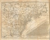
1. Plan de L'Isle St. louis, …
m
1793 August 14
m
1793 August 14
m
1793 March 10
m
1793 March 18
m
1800 October 29
m
1800 October 29
m
1800 October 29
A plan of part of the provin…
A carefully prepared map of t…
A chart of Delaware Bay and R…
A chart of Delaware Bay and R…
A chart of New York Harbour :…
A chart of the bar of Sandy H…
A chart of the coast of New Y…
A chart of the coast of New Y…
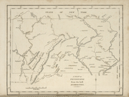
A chorographical map of the c…
A compleat map of the Holy La…
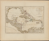
A compleat map of the West In…
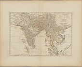
A complete map of the East In…
A correct map of Connecticut:…
m
A correct map of the state of…
A Draught of New York from th…
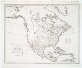
A general map of North Americ…
A general map of North Americ…
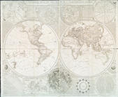
A general map of the world, o…
A general sketch of the Harbo…
A map and chart of those part…
A map and chart of those part…
A map exhibiting the dark sha…
A map of Abyssinia and Nubia
A Map of Africa drawn & engra…
A map of America or the New W…
A map of Barbary comprehendin…
A map of Barbary, containing …
A map of Chinese Tartary, wit…
A map of Connecticut.
A map of Dutch settlements of…
A map of East and West Florid…
A map of independent Tartary,…
A map of Kentucky from actual…
A map of Kentucky, drawn from…
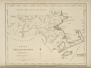
A map of Massachusets [sic] f…
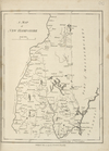
A map of New Hampshire.
A map of New Jersey : from th…
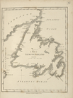
A map of Newfoundland.
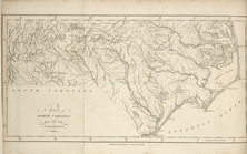
A map of North Carolina, from…
A map of part of the N. W. Te…
A map of Pennsylvania, from t…
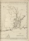
A map of Rhode Island.
1
2
3
4
5
6
Previous
Next
1
2
3
4
5
6
Previous
Next