Click to visit the main New York Public Library Homepage
The New York Public Library
Digital Collections
About Digital Collections
Browse
Search only public domain materials
Items
Collections
Divisions
Home
Search
Browse
About
Search only public domain materials
Items
Collections
Divisions
Digital Collections
Using Images
Using Data
Search
Filtered search
Show filters
Hide filters
Show Only Public Domain
topic
Real property
1097
Landowners
374
Administrative and political divisions
369
Railroads
266
Nautical charts
256
More
Less
name
Perris, William
308
United States Coast Survey
255
Bache, A. D. (Alexander Dallas), 1806-1867
205
Burr, David H., 1803-1875
195
Beers, F. W. (Frederick W.)
176
More
Less
collection
Maps of North America
1559
Maps of New York City and State
828
Atlases of the United States
703
Atlases of New York City
532
Bancker plans
465
More
Less
place
New York (State)
1423
New York
536
United States
455
New York (N.Y.)
451
Manhattan (New York, N.Y.)
426
More
Less
genre
Maps
5185
Atlases
677
Surveys
475
land surveys
412
Cadastral maps
304
More
Less
publisher
publisher not identified
275
William Perris
142
U.S. Coast Survey
128
Perris & Browne
124
Chapman and Hall
109
More
Less
division
Map Division
4080
Manuscripts and Archives Division
485
General Research Division
216
Rare Book Division
145
George Arents Collection
53
More
Less
type
x
cartographic
text
197
still image
131
Date Range
to
5,297 results found
Filtering on:
x
Date
: 1794 - 1870
x
Type
: cartographic
Sort by:
Title
Date created
Date digitized
Sequence
Results 1001 - 1050
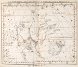
Le bouvier, les levriers, la …
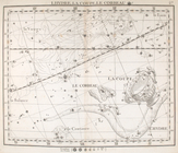
Hercule, la couronne.
Le serpentaire & le serpent.
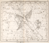
L'aigle, antinoűs, la flêche,…
La lyre, le cygne, le lezard,…
Pegase, le petit cheval, le d…
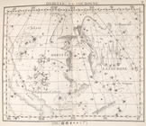
Le belier.
Le taureau.
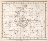
Les gemeaux.
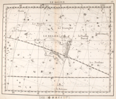
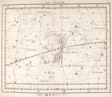
Le cancer.
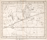
Le lion
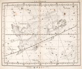
La vierge.
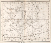
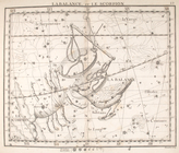
La balance & le scorpion.
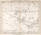
Le capricorne & le verseau.
Les poissons.
La baleine
L'eridan, orion & le lievre
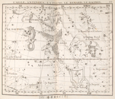
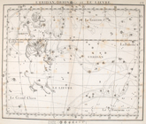
La licorne, le grand chien.
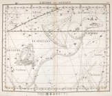
Lhydre le sextant.
Lhydre, la coupe, le corbeau.
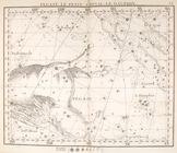
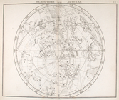
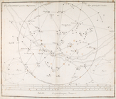
Hemisphere austral.
Hemisphere austral, fuivant l…
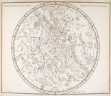
Planisphere & figures.
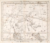
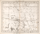
La sagittaire.
Map of the "Hunter Fly Farm" …
m
Map of the city of Williamsbu…
m
Eastern part of Long Island S…
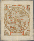
Kniga glagolema︠i︡a kosmograf…
Chicago : with the school sec…
m
Colton's map of the state of …
m
Map of Vigo County, Indiana
m
Map of n. eastern Virginia an…
m
Map of part of Virginia, Mary…
m
Central Virginia
Map of eastern Virginia : com…
A map of the Virginia Central…
m
Map of Bedford County, Pa.
Northern Alabama and Georgia
Middle Georgia & South Caroli…
A map of Maryland and Virgini…
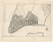
Plan of the city of New York
Plan of the village of Lima o…
Duncan's addition to Michigan…
Survey of the mouth of Trail …
Harbor of Michigan City, Indi…
Map of Presqu'ile Bay or Erie…
Map of the city of Chicago
Map of Indiana
Indiana, 1820
Indiana
1
2
3
4
5
6
7
8
9
10
…
21
22
Previous
Next
1
2
3
4
5
6
7
8
9
10
…
21
22
Previous
Next