Click to visit the main New York Public Library Homepage
The New York Public Library
Digital Collections
About Digital Collections
Browse
Search only public domain materials
Items
Collections
Divisions
Home
Search
Browse
About
Search only public domain materials
Items
Collections
Divisions
Digital Collections
Using Images
Using Data
Search
Filtered search
Show filters
Hide filters
Show Only Public Domain
topic
Real property
1049
Landowners
346
Administrative and political divisions
342
Railroads
259
Nautical charts
230
More
Less
name
Perris, William
308
United States Coast Survey
255
Bache, A. D. (Alexander Dallas), 1806-1867
205
Beers, F. W. (Frederick W.)
176
Burr, David H., 1803-1875
142
More
Less
collection
Maps of North America
1361
Maps of New York City and State
742
Atlases of the United States
637
Atlases of New York City
532
Lawrence H. Slaughter Collection of English maps, charts, globes, books and atlases
114
More
Less
place
New York (State)
1301
New York
529
Manhattan (New York, N.Y.)
418
United States
342
New York (N.Y.)
340
More
Less
genre
Maps
3715
Atlases
611
Cadastral maps
298
Nautical charts
189
Prints
158
More
Less
publisher
publisher not identified
244
William Perris
142
U.S. Coast Survey
128
Perris & Browne
124
Chapman and Hall
109
More
Less
division
Map Division
3401
General Research Division
129
George Arents Collection
52
Rare Book Division
38
Schomburg Manuscripts, Archives and Rare Books Division
20
More
Less
type
x
cartographic
still image
116
text
105
Date Range
to
3,814 results found
Filtering on:
x
Date
: 1830 - 1870
x
Type
: cartographic
Sort by:
Title
Date created
Date digitized
Sequence
Results 3751 - 3800
Chart of the Atlantic Ocean :…
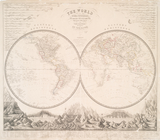
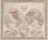
The world in hemispheres : wi…
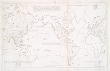
No. 1: [This map shows the po…
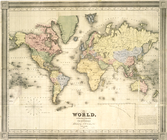
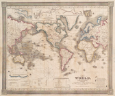
The world, on Mercator's proj…
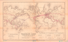
Map Showing the Telegraph Lin…
The world, on Mercator's proj…
The world in hemispheres. Wit…
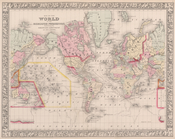
Map of the world on the merca…
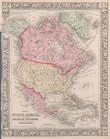
Map of North America. Showing…
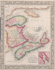
County map of Nova Scotia, Ne…
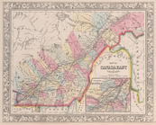
Map of Canada East in countie…
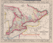
Map of Canada West in countie…
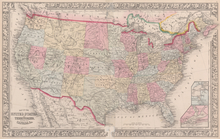
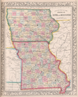
Map of the United States, and…
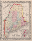
County map of the State of Ma…
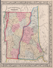
New Hampshire and Vermont.
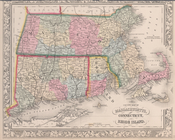
County map of Massachusetts, …
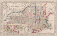
County map of the States of N…
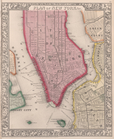
Plan of New York, &c.
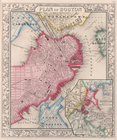
Plan of Boston.
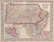
County map of Pennsylvania, N…
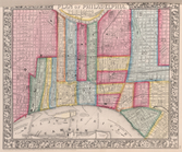
Plan of Philadelphia.
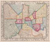
Plan of Baltimore.
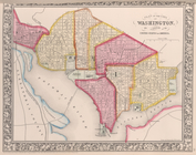
Plan of the City of Washingto…
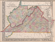
County map of Virginia and We…
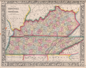
County map of Kentucky and Te…
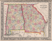
County map of Georgia and Ala…
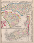
County map of North Carolina,…
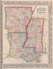
Map of Louisiana, Mississippi…
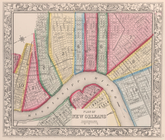
Plan of New Orleans.
County map of Texas ; Galvest…
County map of Ohio and Indian…
Plan of Cincinnati and vicini…
County map of the State of Il…
County map of the States of I…
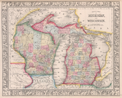
County map of Michigan, and W…
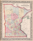
County map of Minnesota.
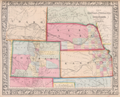
Map of Kansas, Nebraska, and …
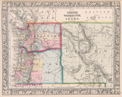
Map of Oregon, Washington and…
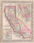
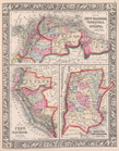
County map California; Map of…
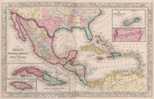
Map of Mexico, Central Americ…
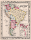
Map of South America, showing…
Map of New Granada [Grenada],…
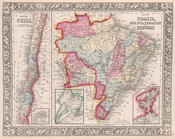
Map of Brazil, Bolivia, Parag…
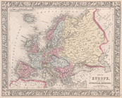
Map of Europe, showing its gt…
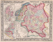
Russia in Europe, Sweden, and…
Map of France, Spain, and Por…
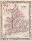
County map of England and Wal…
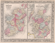
County map of Scotland ; Shet…
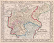
Prussia, and the German State…
Map of the Austrian Empire, I…
1
2
…
7
8
9
10
11
12
13
14
15
16
Previous
Next
1
2
…
7
8
9
10
11
12
13
14
15
16
Previous
Next