Click to visit the main New York Public Library Homepage
The New York Public Library
Digital Collections
About Digital Collections
Browse
Search only public domain materials
Items
Collections
Divisions
Home
Search
Browse
About
Search only public domain materials
Items
Collections
Divisions
Digital Collections
Using Images
Using Data
Search
Filtered search
Show filters
Hide filters
Show Only Public Domain
topic
Real property
1049
Landowners
346
Administrative and political divisions
342
Railroads
259
Nautical charts
230
More
Less
name
Perris, William
308
United States Coast Survey
255
Bache, A. D. (Alexander Dallas), 1806-1867
205
Beers, F. W. (Frederick W.)
176
Burr, David H., 1803-1875
142
More
Less
collection
Maps of North America
1361
Maps of New York City and State
742
Atlases of the United States
637
Atlases of New York City
532
Lawrence H. Slaughter Collection of English maps, charts, globes, books and atlases
114
More
Less
place
New York (State)
1301
New York
529
Manhattan (New York, N.Y.)
418
United States
342
New York (N.Y.)
340
More
Less
genre
Maps
3715
Atlases
611
Cadastral maps
298
Nautical charts
189
Prints
158
More
Less
publisher
publisher not identified
244
William Perris
142
U.S. Coast Survey
128
Perris & Browne
124
Chapman and Hall
109
More
Less
division
Map Division
3401
General Research Division
129
George Arents Collection
52
Rare Book Division
38
Schomburg Manuscripts, Archives and Rare Books Division
20
More
Less
type
x
cartographic
still image
116
text
105
Date Range
to
3,814 results found
Filtering on:
x
Date
: 1830 - 1870
x
Type
: cartographic
Sort by:
Title
Date created
Date digitized
Sequence
Results 1501 - 1550
Town of Ridgefield, Fairfield…
A plan of Greenville, Norwich…
The principal parts of Norwal…
Map of part of Fairfield Coun…
Connecticut
Geer's new map of the city of…
March of the Queens Rangers: …
Town of Bethel, Fairfield Co.…
1863, West Point: [New York]
Map of Connecticut
Harbors of Captain's Island E…
Geer's New map of the city of…
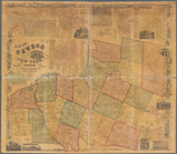
Map of Oswego County, New Yor…
Map of Sullivan County, New Y…
Western part of the southern …
Map of Genesee County, New Yo…
Statistical profile, Erie Can…
Map of Broome County, New York
Map of Erie County, New York:…
Middle part of the southern c…
Eastern part of the southern …
m
The State of New York: from n…
m
Geological map of the State o…
m
The State of New York: from n…
m
United States: wall-atlas
m
Colton's map of the United St…
m
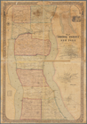
Schuyler County, New York, wi…
m
Map of Rensselaer County, New…
m
Map of Rockland County, New Y…
Map of the vicinity of Niagar…
Railroad map of New England
Fort la Présentation anno 174…
Travellers map of Long Island
A map of the New England stat…
The south part of New-England…
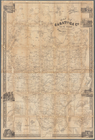
Map of Warren Co., New York
Der amerikanische Continent: …
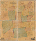
Map of Essex Co., New York
A topographical map of Steube…
A topographical map of Lewis …
Map of Seneca County, New Yor…
Map of Saratoga Co., New York…
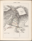
Action of Aroge
A map of the confluence of th…
Map of the Hudson River near …
Map of Rensselaers Wyck, anno…
Field of the Missionary Convo…
Chart of the Diocese of New Y…
m
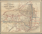
Map of the rail-roads of the …
Map of the New York state can…
1
2
…
4
5
6
7
8
9
10
11
…
15
16
Previous
Next
1
2
…
4
5
6
7
8
9
10
11
…
15
16
Previous
Next