Click to visit the main New York Public Library Homepage
The New York Public Library
Digital Collections
About Digital Collections
Browse
Search only public domain materials
Items
Collections
Divisions
Home
Search
Browse
About
Search only public domain materials
Items
Collections
Divisions
Digital Collections
Using Images
Using Data
Search
Filtered keyword search
Show filters
Hide filters
Show Only Public Domain
topic
Real property
10811
Fire insurance
5289
Cities & towns
5000
Administrative and political divisions
904
Railroads
780
More
Less
name
Sanborn Map Company
5093
G.W. Bromley & Co
2471
Bromley, George Washington
797
Bromley, Walter Scott
797
Austro-Hungarian Monarchy. Militärgeographisches Institut
773
More
Less
collection
Atlases of New York City
10163
Atlases of the United States
3749
Maps of North America
3343
Maps of New York City and State
2041
Lawrence H. Slaughter Collection of English maps, charts, globes, books and atlases
1101
More
Less
place
New York (State)
12014
New York
3841
Manhattan (New York, N.Y.)
2370
New York (N.Y.)
2113
Brooklyn (New York, N.Y.)
1166
More
Less
genre
Maps
23761
Atlases
3678
Topographic maps
1062
Surveys
1032
land surveys
848
More
Less
publisher
Sanborn Map Company
5129
G.W. Bromley & Co
2294
E. Belcher Hyde
780
K.u.K. Militargeographisches Institut
773
publisher not identified
452
More
Less
division
Map Division
21822
Manuscripts and Archives Division
1027
General Research Division
317
Rare Book Division
266
Schomburg Jean Blackwell Hutson Research and Reference Division
140
More
Less
type
x
cartographic
text
547
still image
233
Date Range
to
Looking for one of these collections?
Atlases of New York City
11,722 items
Atlases of the United States
3,868 items
Maps of North America
3,345 items
Maps of New York City and State
2,059 items
Lawrence H. Slaughter Collection of English maps, charts, globes, books and atlases
1,252 items
Bancker plans
1,080 items
23,959 results found for:
x
New York Maps
Filtering on:
x
Rights
: Public Domain
x
Type
: cartographic
Sort by:
Relevance
Title
Date created
Date digitized
Sequence
Results 1251 - 1300
The Turkish Empire in Europe …
use:
… partner (e.g.,
New
York
Ancient Macedonia, Thracia, I…
use:
… partner (e.g.,
New
York
Turkey containing the provinc…
use:
… partner (e.g.,
New
York
The Eastern part of the Ancie…
use:
… partner (e.g.,
New
York
The Panjab with part of Afgha…
use:
… partner (e.g.,
New
York
Persia with part of the Ottom…
use:
… partner (e.g.,
New
York
Western Siberia, Independent …
use:
… partner (e.g.,
New
York
China and the Birman Empire: …
use:
… partner (e.g.,
New
York
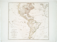
America noviter delineata.
use:
… partner (e.g.,
New
York
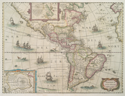
A General
map
of America divided into North
use:
… partner (e.g.,
New
York
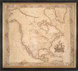
North America
use:
… partner (e.g.,
New
York
N. America
use:
… partner (e.g.,
New
York
Amerique septentrionale divis…
use:
… partner (e.g.,
New
York
North America
use:
… partner (e.g.,
New
York
Carte de l'Amérique septentri…
use:
… partner (e.g.,
New
York
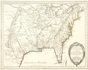
Carte de la Louisiane et pais…
use:
… partner (e.g.,
New
York
World on gnomonic projection …
use:
… partner (e.g.,
New
York
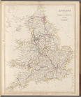
England with its canals and r…
use:
… partner (e.g.,
New
York
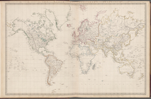
The world on Mercator's proje…
use:
… partner (e.g.,
New
York
World on gnomonic projection …
use:
… partner (e.g.,
New
York
World on gnomonic projection …
use:
… partner (e.g.,
New
York
World on gnomonic projection …
use:
… partner (e.g.,
New
York
Scotland III: Orkneys, Shetla…
use:
… partner (e.g.,
New
York
World on gnomonic projection …
use:
… partner (e.g.,
New
York
World on gnomonic projection …
use:
… partner (e.g.,
New
York
France divided into one hundr…
use:
… partner (e.g.,
New
York
Ancient Italy part III, and S…
use:
… partner (e.g.,
New
York
France in provinces
use:
… partner (e.g.,
New
York
Germany (Deutschland) II: Eas…
use:
… partner (e.g.,
New
York
Austrian Dominions II: Galizi…
use:
… partner (e.g.,
New
York
Ancient France or Gallia Tran…
use:
… partner (e.g.,
New
York
Italy IV: General map includi…
use:
… partner (e.g.,
New
York
Germany (Deutschland) III: Ba…
use:
… partner (e.g.,
New
York
Spain and Portugal
use:
… partner (e.g.,
New
York
Germany (Deutschland) I: Hols…
use:
… partner (e.g.,
New
York
Austrian Dominions III: Croat…
use:
… partner (e.g.,
New
York
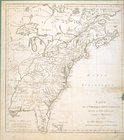
… of Pensilvania,
New
Jersey
use:
… partner (e.g.,
New
York
A chart of the West Indies fr…
use:
… partner (e.g.,
New
York
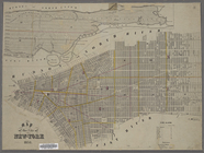
Map
of the City of
New
York
.
use:
… partner (e.g.,
New
York
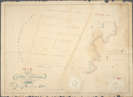
Map
of Garret Nostrand's farm at Flushing
use:
… partner (e.g.,
New
York
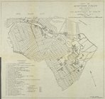
Map
of Newtown Creek and vicinity
use:
… partner (e.g.,
New
York
Map
of the state of
New
York
: compiled
use:
… partner (e.g.,
New
York
Fort Washington and the north part of
New
York
use:
… partner (e.g.,
New
York
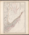
State of
New
York
, Jany. 1, 1824
use:
… partner (e.g.,
New
York
Province de
New
-
York
: en 4 feuilles
use:
… partner (e.g.,
New
York
A draught of
New
York
and Perthamboy
use:
… partner (e.g.,
New
York
An Accurate
map
of
New
York
in North
use:
… partner (e.g.,
New
York
… of
New
York
and part
use:
… partner (e.g.,
New
York
M-T-10-100: Index
Map
of Central Park
use:
… partner (e.g.,
New
York
A
new
map
of
New
England and
New
York
use:
… partner (e.g.,
New
York
1
2
3
4
5
6
7
8
9
10
…
95
96
Previous
Next
1
2
3
4
5
6
7
8
9
10
…
95
96
Previous
Next