Click to visit the main New York Public Library Homepage
The New York Public Library
Digital Collections
About Digital Collections
Browse
Search only public domain materials
Items
Collections
Divisions
Home
Search
Browse
About
Search only public domain materials
Items
Collections
Divisions
Digital Collections
Using Images
Using Data
Search
Filtered keyword search
Show filters
Hide filters
Show Only Public Domain
topic
Real property
10812
Fire insurance
5289
Cities & towns
5001
Administrative and political divisions
906
Railroads
784
More
Less
name
Sanborn Map Company
5093
G.W. Bromley & Co
2471
Bromley, George Washington
797
Bromley, Walter Scott
797
Austro-Hungarian Monarchy. Militärgeographisches Institut
773
More
Less
collection
Atlases of New York City
10577
Atlases of the United States
3749
Maps of North America
3345
Maps of New York City and State
2046
Lawrence H. Slaughter Collection of English maps, charts, globes, books and atlases
1101
More
Less
place
New York (State)
12153
New York
3978
New York (N.Y.)
2423
Manhattan (New York, N.Y.)
2371
Brooklyn (New York, N.Y.)
1166
More
Less
genre
Maps
24593
Atlases
3679
Topographic maps
1062
Surveys
1032
land surveys
849
More
Less
publisher
Sanborn Map Company
5129
G.W. Bromley & Co
2294
E. Belcher Hyde
780
K.u.K. Militargeographisches Institut
773
publisher not identified
452
More
Less
division
Map Division
22270
Manuscripts and Archives Division
1079
General Research Division
400
Rare Book Division
320
Schomburg Jean Blackwell Hutson Research and Reference Division
191
More
Less
type
x
cartographic
text
647
still image
322
Date Range
to
Looking for one of these collections?
Atlases of New York City
11,722 items
Atlases of the United States
3,868 items
Maps of North America
3,345 items
Maps of New York City and State
2,059 items
Lawrence H. Slaughter Collection of English maps, charts, globes, books and atlases
1,252 items
Bancker plans
1,080 items
24,808 results found for:
x
map
Filtering on:
x
Type
: cartographic
Sort by:
Relevance
Title
Date created
Date digitized
Sequence
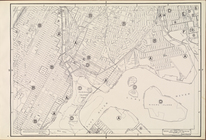
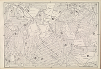
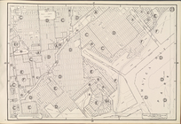
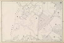
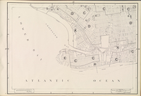
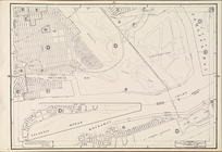
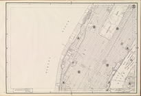
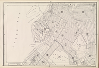
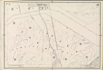
Map
of North America
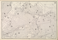
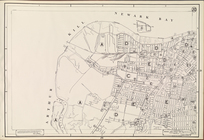
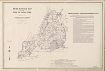
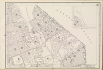
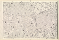
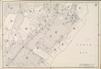
Area Zoning
Map
Section No. 1
note:
Scale of
maps
ca. 1:9,600.
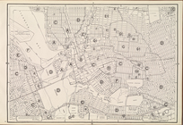
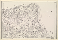
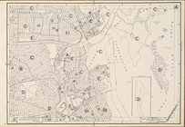
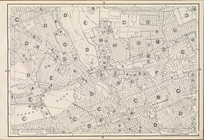
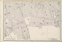
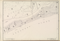
Area Zoning
Map
Section No. 3
note:
Scale of
maps
ca. 1:9,600.
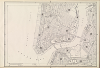
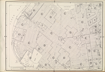
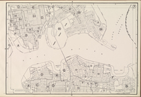
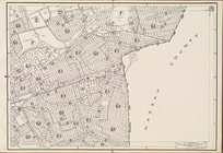
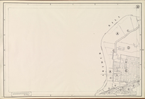
Area Zoning
Map
Section No. 5
note:
Scale of
maps
ca. 1:9,600.
Area Zoning
Map
Section No. 6
note:
Scale of
maps
ca. 1:9,600.
Area Zoning
Map
Section No. 9
note:
Scale of
maps
ca. 1:9,600.
Area Zoning
Map
Section No. 10
note:
Scale of
maps
ca. 1:9,600.
Area Zoning
Map
Section No. 12
note:
Scale of
maps
ca. 1:9,600.
Area Zoning
Map
Section No. 13
note:
Scale of
maps
ca. 1:9,600.
Area Zoning
Map
Section No. 20
note:
Scale of
maps
ca. 1:9,600.
Area Zoning
Map
Section No. 21
note:
Scale of
maps
ca. 1:9,600.
Area Zoning
Map
Section No. 22
note:
Scale of
maps
ca. 1:9,600.
Area Zoning
Map
Section No. 23
note:
Scale of
maps
ca. 1:9,600.
Area Zoning
Map
Section No. 25
note:
Scale of
maps
ca. 1:9,600.
Area Zoning
Map
Section No. 26
note:
Scale of
maps
ca. 1:9,600.
Area Zoning
Map
Section No. 28
note:
Scale of
maps
ca. 1:9,600.
Area Zoning
Map
Section No. 29
note:
Scale of
maps
ca. 1:9,600.
Area Zoning
Map
Section No. 31
note:
Scale of
maps
ca. 1:9,600.
Area Zoning
Map
Section No. 33
note:
Scale of
maps
ca. 1:9,600.
Area Zoning
Map
Section No. 34
note:
Scale of
maps
ca. 1:9,600.
… Plate [
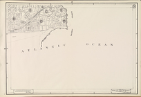
Map
of school district
map
of the city
Map
of borough of Queens
note:
…
map
of Queens Borough
m
Cabinet
map
of Iowa
note:
Map
was originally
m
Iowa
note:
Map
was originally
An exact
map
of North America : from
note:
NYPL. Dictionary catalog of the
Map
A
map
of the world, with the latest discoveries
A new
map
of North America from the latest
m
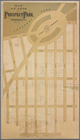
Map
of lots near Prospect Park.
…, Right Page [
Map
of town of Venice,
Map
of Poplar
note:
Contains one loose folded
map
.
Maps
m
Petersen's
map
of Brooklyn
note:
…"A.R. Ohman
Map
Co.
Map
Publishers
Manhattan, first city in Amer…
collection:
Maps
of New York City and State
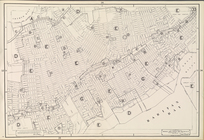
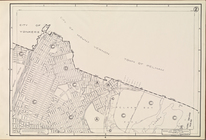
Area Zoning
Map
. City of New York. 1953
note:
Scale of
maps
ca. 1:9,600.
Area Zoning
Map
Section No. 2
note:
Scale of
maps
ca. 1:9,600.
Area Zoning
Map
Section No. 4
note:
Scale of
maps
ca. 1:9,600.
Area Zoning
Map
Section No. 7
note:
Scale of
maps
ca. 1:9,600.
Area Zoning
Map
Section No. 8
note:
Scale of
maps
ca. 1:9,600.
Area Zoning
Map
Section No. 11
note:
Scale of
maps
ca. 1:9,600.
Area Zoning
Map
Section No. 14
note:
Scale of
maps
ca. 1:9,600.
Area Zoning
Map
Section No. 15
note:
Scale of
maps
ca. 1:9,600.
Area Zoning
Map
Section No. 16
note:
Scale of
maps
ca. 1:9,600.
Area Zoning
Map
Section No. 17
note:
Scale of
maps
ca. 1:9,600.
Area Zoning
Map
Section No. 18
note:
Scale of
maps
ca. 1:9,600.
Area Zoning
Map
Section No. 19
note:
Scale of
maps
ca. 1:9,600.
Area Zoning
Map
Section No. 24
note:
Scale of
maps
ca. 1:9,600.
Area Zoning
Map
Section No. 27
note:
Scale of
maps
ca. 1:9,600.
Area Zoning
Map
Section No. 30
note:
Scale of
maps
ca. 1:9,600.
Area Zoning
Map
Section No. 32
note:
Scale of
maps
ca. 1:9,600.
Area Zoning
Map
Section No. 35
note:
Scale of
maps
ca. 1:9,600.
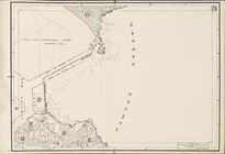
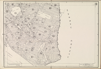
Map
of the Hudson River District[copy 1].
Map
of the Hudson River District[copy 2].
1
2
3
4
5
6
7
8
9
10
…
99
100
Previous
Next
1
2
3
4
5
6
7
8
9
10
…
99
100
Previous
Next