Click to visit the main New York Public Library Homepage
The New York Public Library
Digital Collections
About Digital Collections
Browse
Search only public domain materials
Items
Collections
Divisions
Home
Search
Browse
About
Search only public domain materials
Items
Collections
Divisions
Digital Collections
Using Images
Using Data
Search
Keyword search
Show filters
Hide filters
Show Only Public Domain
topic
Real property
11050
Fire insurance
5305
Cities & towns
5016
City planning
1101
Social conditions
946
More
Less
name
Sanborn Map Company
5108
G.W. Bromley & Co
2551
New York (N.Y.). City Planning Commission
980
M.I.T. Press
942
Bromley, George Washington
857
More
Less
collection
Atlases of New York City
11722
Atlases of the United States
3868
Maps of North America
3345
Maps of New York City and State
2059
Lawrence H. Slaughter Collection of English maps, charts, globes, books and atlases
1252
More
Less
place
New York (State)
14041
New York
5623
New York (N.Y.)
3511
Manhattan (New York, N.Y.)
2385
Brooklyn (New York, N.Y.)
1222
More
Less
genre
Maps
25787
Atlases
3791
Prints
1428
Topographic maps
1062
Surveys
1034
More
Less
publisher
Sanborn Map Company
5145
G.W. Bromley & Co
2371
MIT Press
942
E. Belcher Hyde
807
K.u.K. Militargeographisches Institut
774
More
Less
division
Map Division
23798
Manuscripts and Archives Division
1281
Wallach Division: Print Collection
746
Rare Book Division
518
Dorot Jewish Division
477
More
Less
type
cartographic
24808
still image
3785
text
2063
notated music
10
sound recording
3
More
Less
Date Range
to
Looking for one of these collections?
Atlases of New York City
11,722 items
Atlases of the United States
3,868 items
Maps of North America
3,345 items
Maps of New York City and State
2,059 items
Lawrence H. Slaughter Collection of English maps, charts, globes, books and atlases
1,252 items
Bancker plans
1,080 items
28,779 results found for:
map
Sort by:
Relevance
Title
Date created
Date digitized
Sequence
Results 27251 - 27300
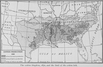
The cotton kingdom, 1850, and…
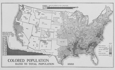
Colored population ratio to t…
Karta predstavliaiushchaia re…
Chast Ledovitago Moria.
Karta ot ustia reki Ulkana do…
Plan ustia reki Okhoty I Kukh…
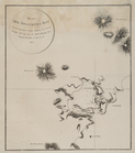
Plan gavani Trekh Sviatitelei.
Plan Chornovskago zaliva.
Plan zaliva Kul-Liliak.
Allgemeine Welt Charte
Charte der Rhede von St. Cath…
Plan
Plan
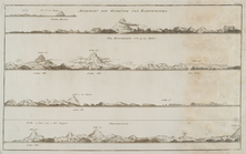
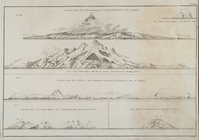
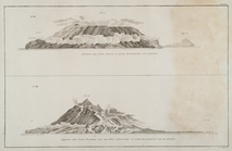
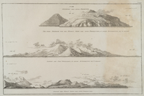
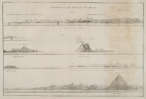
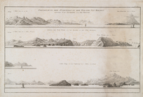
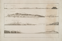
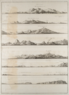
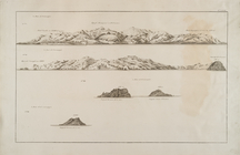
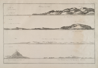
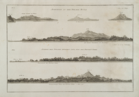
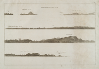
Predstavlenie pikov i mysov
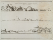
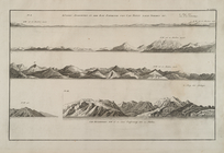
Predstavlenie pikov i mysov
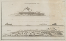
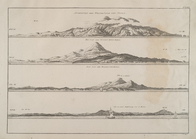
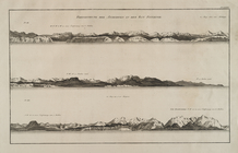
Plan
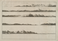
Predstavlenie pikov i mysov
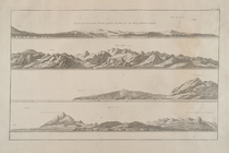
Predstavlenie pikov i mysov
Predstavlenie pikov i mysov
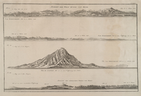
Predstavlenie pikov i mysov
Predstavlenie pikov i mysov
Predstavlenie pikov i mysov
Charte der Iapanischen Inseln
Predstavlenie pikov i mysov
Predstavlenie pikov i mysov
Predstavlenie pikov i mysov
Predstavlenie pikov i mysov
Predstavlenie pikov i mysov
Predstavlenie pikov i mysov
Predstavlenie pikov i mysov
Predstavlenie pikov i mysov
Predstavlenie pikov i mysov
Predstavlenie pikov i mysov
Predstavlenie pikov i mysov
Predstavlenie pikov i mysov
Karta
Plan
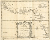
Carte de la Sénégambie et du …
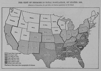
Per cent of Negroes in total …
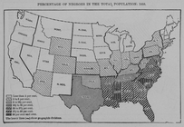
Percentage of Negroes in the …
City of Diu
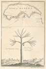
Island of Madera; The dragon …
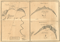
Harbour of Praya in St. Jago;…
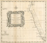
A chart of the western coast …
A chart of the western coast …
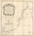
A chart of eastern coast of A…
A chart of all the known isla…
A chart of the eastern coast …
A chart of the coast of Arabi…
Bay of Sierra Leone; View of…
1
2
…
107
108
109
110
111
112
113
114
115
116
Previous
Next
1
2
…
107
108
109
110
111
112
113
114
115
116
Previous
Next