Click to visit the main New York Public Library Homepage
The New York Public Library
Digital Collections
About Digital Collections
Browse
Search only public domain materials
Items
Collections
Divisions
Home
Search
Browse
About
Search only public domain materials
Items
Collections
Divisions
Digital Collections
Using Images
Using Data
Search
Keyword search
Show filters
Hide filters
Show Only Public Domain
topic
Real property
11050
Fire insurance
5305
Cities & towns
5016
City planning
1101
Social conditions
946
More
Less
name
Sanborn Map Company
5108
G.W. Bromley & Co
2551
New York (N.Y.). City Planning Commission
980
M.I.T. Press
942
Bromley, George Washington
857
More
Less
collection
Atlases of New York City
11722
Atlases of the United States
3868
Maps of North America
3345
Maps of New York City and State
2059
Lawrence H. Slaughter Collection of English maps, charts, globes, books and atlases
1252
More
Less
place
New York (State)
14041
New York
5623
New York (N.Y.)
3511
Manhattan (New York, N.Y.)
2385
Brooklyn (New York, N.Y.)
1222
More
Less
genre
Maps
25787
Atlases
3791
Prints
1428
Topographic maps
1062
Surveys
1034
More
Less
publisher
Sanborn Map Company
5145
G.W. Bromley & Co
2371
MIT Press
942
E. Belcher Hyde
807
K.u.K. Militargeographisches Institut
774
More
Less
division
Map Division
23798
Manuscripts and Archives Division
1281
Wallach Division: Print Collection
746
Rare Book Division
518
Dorot Jewish Division
477
More
Less
type
cartographic
24808
still image
3785
text
2063
notated music
10
sound recording
3
More
Less
Date Range
to
Looking for one of these collections?
Atlases of New York City
11,722 items
Atlases of the United States
3,868 items
Maps of North America
3,345 items
Maps of New York City and State
2,059 items
Lawrence H. Slaughter Collection of English maps, charts, globes, books and atlases
1,252 items
Bancker plans
1,080 items
28,779 results found for:
maps
Sort by:
Relevance
Title
Date created
Date digitized
Sequence
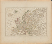
Europe divided into its princ…
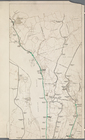
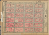
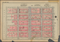
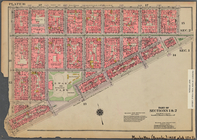
Bounded by E. 32nd Street, Th…
Plan Borodinskago srazheniia,…
collection:
Map
of the Battle of Borodino
The British Isles, comprehend…
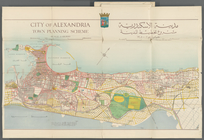
City of Alexandria Town Plann…
Upper Manhattan, comprising t…
collection:
Maps
of New York City and State
A new and compendious
map
of England
m
Bilky, Volume 2
m
N.Y.C. & H.R.R.R. Electric Zo…
collection:
…' and engineers' drawings,
maps
Settlements of the Swiss past…
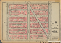
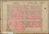
Bounded by W. 181st Street, B…
m
Johnson's Physical
Map
…
Scotland, and its islands ; o…
The lower end of Manhattan Is…
collection:
Maps
of New York City and State
Nova Zembla, p. 101
m
Chorzele
The Catholic Netherlands, or …
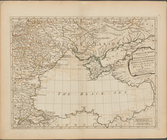
The southeastern part of the …
collection:
Maps
of New York City and State
The Seven United Provinces co…
The Northern States, comprehe…
Russia, divided into its gove…
Rand McNally standard
map
of the borough
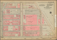
Bounded by W. 42nd Street, Se…
Hungary, and Transylvania; wi…
Types of the races of man
note:
Maps
by George F. Cram.
Bounded by Beaver Street, Bro…
The Empire of Germany divided…
Geroicheskiĭ pokhod
Bounded by Broadway, (Harlem …
Bounded by E. 105th Street, T…
Bounded by W. 116th Street, L…
Bounded by W. 151st Street, H…
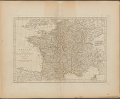
France, divided into military…
Bounded by W. 20th Street, E.…
Bounded by Avenue A, E. 76th …
Italy, divided into its state…
Bounded by E. 89th Street, Th…
Street guide of Brooklyn : wi…
note:
Also includes ancillary
map
: Outline road
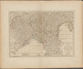
The North part of Italy ...
m
Kleck
First part of Turkey in Europ…
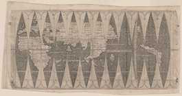
Universalis cosmographie desc…
topic:
World
maps
Map
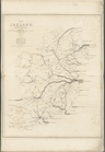
of Ireland, to accompany the Report
note:
double-page
map
m
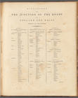
Directions for the junction o…
collection:
… of county
maps
from actual
Bounded by Broome Street, Wil…
A
map
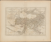
of Turkey in Asia, containing
Bounded by W. 37th Street, Ni…
North polar chart: track of t…
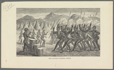
The Latooka funeral dance
note:
…:
mapping
African
m
A
map
shewing the extent of the great fire
1
2
3
4
5
6
7
8
9
10
…
115
116
Previous
Next
1
2
3
4
5
6
7
8
9
10
…
115
116
Previous
Next