Click to visit the main New York Public Library Homepage
The New York Public Library
Digital Collections
About Digital Collections
Browse
Search only public domain materials
Items
Collections
Divisions
Home
Search
Browse
About
Search only public domain materials
Items
Collections
Divisions
Digital Collections
Using Images
Using Data
Search
Keyword search
Show filters
Hide filters
Show Only Public Domain
topic
Real property
486
Administrative and political divisions
245
Railroads
238
Landowners
128
History
87
More
Less
name
E. Belcher Hyde Map Company
265
E.B. Hyde & Co
265
Ullitz, Hugo
265
United States. Farm Security Administration
89
New York (N.Y.). Board of Estimate and Apportionment
81
More
Less
collection
Maps of North America
725
Maps of New York City and State
564
Atlases of New York City
454
Farm Security Administration Photographs
88
Atlases of the United States
87
More
Less
place
New York (State)
868
New York
563
New York (N.Y.)
390
Brooklyn (New York, N.Y.)
372
Maps
344
More
Less
genre
Maps
1960
Photographs
146
Cadastral maps
121
Prints
120
Atlases
85
More
Less
publisher
E. Belcher Hyde
269
publisher not identified
90
New York (N.Y.). Board of Estimate and Apportionment
38
M.B. Brown Printing & Binding Co.,
37
New York (N.Y.). Dept. of City Planning
37
More
Less
division
Map Division
1964
Wallach Division: Photography Collection
107
Wallach Division: Picture Collection
41
General Research Division
40
Billy Rose Theatre Division
35
More
Less
type
cartographic
1962
still image
384
text
89
moving image
7
sound recording
6
More
Less
Date Range
to
2,373 results found for:
Scales
Sort by:
Relevance
Title
Date created
Date digitized
Sequence
Results 1501 - 1550
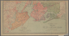
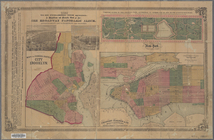
Plan of the city of New York:…
note:
Scale
1:24,000. 2000 ft. to one inch (W
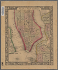
Map of the City of New York, …
note:
Scale
[ca. 1:15,600] (W 74°01ʹ36ʺ--W 73°57
m
Map showing the route for a p…
note:
Scale
1:600. (W 74°00ʹ02ʺ--W 73°59ʹ38ʺ/N
Map shewing a plan for the wi…
note:
Scale
not given (W 74°00ʹ21ʺ--W 74°00ʹ07ʺ/N
m
City & county map of New York…
abstract:
… by soundings.
Scale
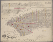
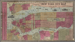
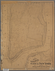
New York city map.
note:
Scale
[ca. 1:19,500] (W 74°04ʹ--W 73°55ʹ/N
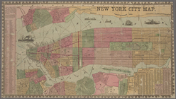
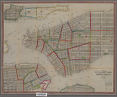
New York city map.
note:
Scale
[ca. 1:19,500] (W 74°04ʹ--W 73°55ʹ/N
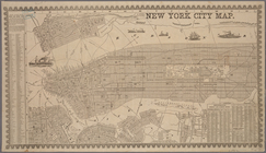
New York City map.
note:
Scale
[ca. 1:19,500] (W 74°04ʹ--W 73°55ʹ/N
m
Map showing the lines of the …
note:
Scale
[ca. 1:14,000] (W 74°01ʹ--W 73°55ʹ/N
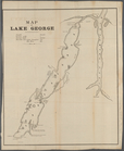
Map of Lake George
note:
Scale
not given (W 73°43ʹ50ʺ--W 73°19ʹ26ʺ/N
m
Map of the Boulevard : and pl…
note:
Scale
not given (W 73°59ʹ46ʺ--W 73°56ʹ13ʺ/N
m
Map of New York City showing …
note:
… on enlarged
scale
. On verso
Map of water front from 61st …
note:
Scale
1:2,400. 1 inch 200 feet (W 73°57ʹ…
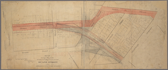
Paving map [4th Ave. from 37t…
note:
Scale
not given. (W 73°58ʹ50ʺ--W 73°58ʹ39ʺ/N
Map of the city of New York, …
note:
Scale
not given. (W 74°02ʹ59ʺ--W 73°55ʹ01ʺ/N
Map of the cities of New York…
note:
Scale
not given. (W 74°05ʹ57ʺ--W 73°57ʹ01ʺ/N
Plan showing course of stream…
note:
Scale
1:1,200. 100 feet to one inch. (W
Map of the City of New York, …
note:
Scale
[ca. 1:9,500] (W 74°01ʹ--W 73°56ʹ/N
Map of the City & County of N…
note:
Scale
[ca. 1:16,200]. (W 74°03ʹ12ʺ--W 73°57
New-York City, County and vic…
note:
Scale
[ca. 1:23,250]. (W 74°02ʹ58ʺ--W 73°55
… on a reduced
scale
.
note:
Scales
differ. (W 74°02ʹ58ʺ--W 73°55ʹ41ʺ/N
Plan of New York &c.
note:
Scale
not given. (W 74°02ʹ59ʺ--W 73°56ʹ48ʺ/N
Map of the lower section of t…
note:
Scale
approximately 1:9,051. (W 74°01ʹ17ʺ--W
Map of the City of New York w…
abstract:
… of sheet.
Scale
ca
… on a reduced
scale
/ engraved
note:
Scale
[ca. 1:24,000]. (W 74°02ʹ56ʺ--W 73°57
… on a reduced
scale
/ engraved
note:
Scale
[ca. 1:24,000]. (W 74°02ʹ56ʺ--W 73°57
Map (A) of West Washington Ma…
note:
Scale
1:969. 80 3/4 feet to the inch. (W
Maps shewing the residence of…
note:
Scale
[ca. 1:1800]. "150ʹ to an in."…
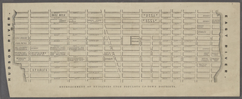
Encroachment of nuisances upo…
note:
Scale
not given. (W 74°00ʹ42ʺ--W 73°57ʹ47ʺ/N
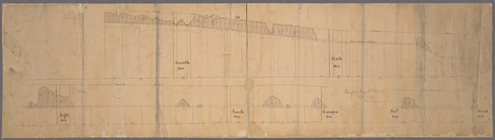
[Profile of 56th St. from Sev…
note:
Scale
not given. (W 73°59ʹ42ʺ--W 73°57ʹ35ʺ/N
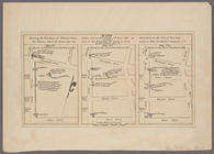
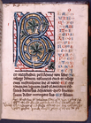
Initial with large
scale
foliage; red, blue
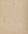
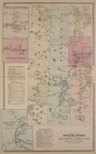
Index.
note:
Township maps are on the
scale
of 1:42,240 or 1
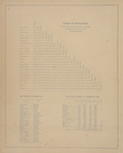
Table of Distances. ; Post Of…
note:
Township maps are on the
scale
of 1:42,240 or 1
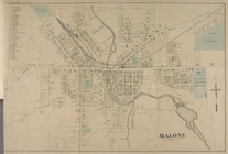
Malone [Village]
note:
Township maps are on the
scale
of 1:42,240 or 1
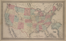
Map of The United States
note:
Township maps are on the
scale
of 1:42,240 or 1
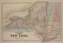
Plan of the states of New Yor…
note:
Township maps are on the
scale
of 1:42,240 or 1
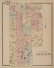
Outline plan of Franklin Co.
note:
Township maps are on the
scale
of 1:42,240 or 1
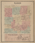
Bangor [Township]; West Bango…
note:
Township maps are on the
scale
of 1:42,240 or 1
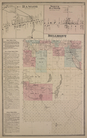
Bangor [Village]; Bagor Busin…
note:
Township maps are on the
scale
of 1:42,240 or 1
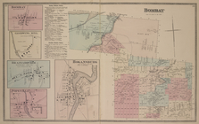
Bombay [Village]; Goodwins Mi…
note:
Township maps are on the
scale
of 1:42,240 or 1
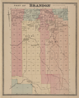
Part of Brandon [Township]
note:
Township maps are on the
scale
of 1:42,240 or 1
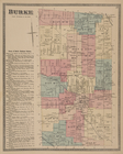
Burke [Township]; Town of Bur…
note:
Township maps are on the
scale
of 1:42,240 or 1
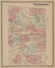
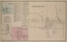
Chateaugay [Township]
note:
Township maps are on the
scale
of 1:42,240 or 1
Burke [Village]; Burke Busine…
note:
Township maps are on the
scale
of 1:42,240 or 1
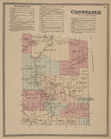
Constable Business Notices. ;…
note:
Township maps are on the
scale
of 1:42,240 or 1
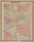
Dickinson [Township]
note:
Township maps are on the
scale
of 1:42,240 or 1
Dickinson Center [Village]; S…
note:
Township maps are on the
scale
of 1:42,240 or 1
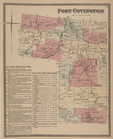
Fort Covington [Township]; Fo…
note:
Township maps are on the
scale
of 1:42,240 or 1
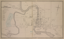
Fort Covington [Village]
note:
Township maps are on the
scale
of 1:42,240 or 1
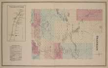
Vermontville [Village]; Frank…
note:
Township maps are on the
scale
of 1:42,240 or 1
1
2
3
4
5
6
7
8
9
10
Previous
Next
1
2
3
4
5
6
7
8
9
10
Previous
Next