Click to visit the main New York Public Library Homepage
The New York Public Library
Digital Collections
About Digital Collections
Browse
Search only public domain materials
Items
Collections
Divisions
Home
Search
Browse
About
Search only public domain materials
Items
Collections
Divisions
Digital Collections
Using Images
Using Data
Search
Filtered keyword search
Show filters
Hide filters
Show Only Public Domain
topic
Real property
10812
Fire insurance
5289
Cities & towns
5001
Administrative and political divisions
906
Railroads
784
More
Less
name
Sanborn Map Company
5093
G.W. Bromley & Co
2471
Bromley, George Washington
797
Bromley, Walter Scott
797
Austro-Hungarian Monarchy. Militärgeographisches Institut
773
More
Less
collection
Atlases of New York City
10577
Atlases of the United States
3749
Maps of North America
3345
Maps of New York City and State
2046
Lawrence H. Slaughter Collection of English maps, charts, globes, books and atlases
1101
More
Less
place
New York (State)
12153
New York
3978
New York (N.Y.)
2423
Manhattan (New York, N.Y.)
2371
Brooklyn (New York, N.Y.)
1166
More
Less
genre
Maps
24593
Atlases
3679
Topographic maps
1062
Surveys
1032
land surveys
849
More
Less
publisher
Sanborn Map Company
5129
G.W. Bromley & Co
2294
E. Belcher Hyde
780
K.u.K. Militargeographisches Institut
773
publisher not identified
452
More
Less
division
Map Division
22270
Manuscripts and Archives Division
1079
General Research Division
400
Rare Book Division
320
Schomburg Jean Blackwell Hutson Research and Reference Division
191
More
Less
type
x
cartographic
text
647
still image
322
Date Range
to
Looking for one of these collections?
Atlases of New York City
11,722 items
Atlases of the United States
3,868 items
Maps of North America
3,345 items
Maps of New York City and State
2,059 items
Lawrence H. Slaughter Collection of English maps, charts, globes, books and atlases
1,252 items
Bancker plans
1,080 items
24,808 results found for:
x
New York Maps
Filtering on:
x
Type
: cartographic
Sort by:
Relevance
Title
Date created
Date digitized
Sequence
Results 2251 - 2300
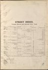
Index
use:
… partner (e.g.,
New
York
Index
use:
… partner (e.g.,
New
York
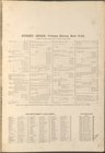
Key
use:
… partner (e.g.,
New
York
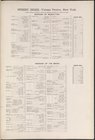
Key continued
use:
… partner (e.g.,
New
York
Key continued
use:
… partner (e.g.,
New
York
Index
use:
… partner (e.g.,
New
York
Key
use:
… partner (e.g.,
New
York
Key
use:
… partner (e.g.,
New
York
Index continued
use:
… partner (e.g.,
New
York
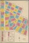
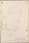
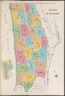
Bronx, V. B, Plate No. 1 [
Map
bounded
use:
… partner (e.g.,
New
York
Index
use:
… partner (e.g.,
New
York
Index
use:
… partner (e.g.,
New
York
Index
use:
… partner (e.g.,
New
York
Key continued
use:
… partner (e.g.,
New
York
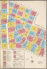
Bronx, V. A, Plate No. 2 [
Map
bounded
use:
… partner (e.g.,
New
York
Bronx, V. 13, Plate No. 1 [
Map
bounded
use:
… partner (e.g.,
New
York
Bronx, V. A, Plate No. 5 [
Map
bounded
use:
… partner (e.g.,
New
York
Bronx, V. A, Plate No. 10 [
Map
bounded
use:
… partner (e.g.,
New
York
Bronx, V. B, Plate No. 29 [
Map
bounded
use:
… partner (e.g.,
New
York
Bronx, V. B, Plate No. 32 [
Map
bounded
use:
… partner (e.g.,
New
York
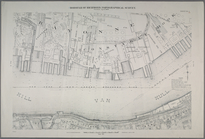
…. [Includes Upper
New
York
Bay
use:
… partner (e.g.,
New
York
Map
bounded by East Houston Street, Avenue D
use:
… partner (e.g.,
New
York
Map
bounded by Avenue A, East 22nd
use:
… partner (e.g.,
New
York
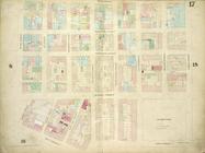
Map
bounded by Fourth Avenue, East 12th
use:
… partner (e.g.,
New
York
Map
bounded by Second Street, Avenue C
use:
… partner (e.g.,
New
York
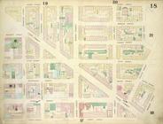
Map
bounded by East 22nd Street, Second
use:
… partner (e.g.,
New
York
Map
bounded by East 17th Street, Second
use:
… partner (e.g.,
New
York
…,
New
York
&
New
Jersey
use:
… partner (e.g.,
New
York
…
New
York
and
New
use:
… partner (e.g.,
New
York
… Beach and Lower
New
York
use:
… partner (e.g.,
New
York
… in
New
Dorp Beach.]
use:
… partner (e.g.,
New
York
…
New
Dorp Beach, Roma
use:
… partner (e.g.,
New
York
L'Amérique septentrionale
use:
… partner (e.g.,
New
York
Wittingau und Moldauthein
use:
… partner (e.g.,
New
York
Schärding
use:
… partner (e.g.,
New
York
Wien. (Nieder-Osterreich)
use:
… partner (e.g.,
New
York
Tokaj
use:
… partner (e.g.,
New
York
Steinamanger und Körmend
use:
… partner (e.g.,
New
York
Sheet No. 10. [Includes Sailo…
use:
… partner (e.g.,
New
York
Sheet No. 23. [Includes Weste…
use:
… partner (e.g.,
New
York
Sheet No. 61. [Includes Richm…
use:
… partner (e.g.,
New
York
Sheet No. 76. [Includes (Anna…
use:
… partner (e.g.,
New
York
Sheet Nos. 92 & 96. [Sheet No…
use:
… partner (e.g.,
New
York
A chart of Delawar River from…
use:
… partner (e.g.,
New
York
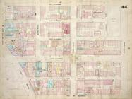
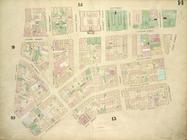
Plate 14:
Map
bounded by Elm Street
use:
… partner (e.g.,
New
York
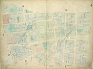
Plate 4:
Map
bounded by Maiden Lane
use:
… partner (e.g.,
New
York
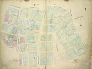
Plate 1:
Map
bounded by Bowling Green
use:
… partner (e.g.,
New
York
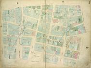
Plate 5:
Map
bounded by Gold Street
use:
… partner (e.g.,
New
York
Plate 17:
Map
bounded by West Street
use:
… partner (e.g.,
New
York
Plate 18:
Map
bounded by Spring Street
use:
… partner (e.g.,
New
York
1
2
…
7
8
9
10
11
12
13
14
…
99
100
Previous
Next
1
2
…
7
8
9
10
11
12
13
14
…
99
100
Previous
Next