Click to visit the main New York Public Library Homepage
The New York Public Library
Digital Collections
About Digital Collections
Browse
Search only public domain materials
Items
Collections
Divisions
Home
Search
Browse
About
Search only public domain materials
Items
Collections
Divisions
Digital Collections
Using Images
Using Data
Search
Filtered keyword search
Show filters
Hide filters
Show Only Public Domain
topic
Real property
10812
Fire insurance
5289
Cities & towns
5001
Administrative and political divisions
906
Railroads
784
More
Less
name
Sanborn Map Company
5093
G.W. Bromley & Co
2471
Bromley, George Washington
797
Bromley, Walter Scott
797
Austro-Hungarian Monarchy. Militärgeographisches Institut
773
More
Less
collection
Atlases of New York City
10577
Atlases of the United States
3749
Maps of North America
3345
Maps of New York City and State
2046
Lawrence H. Slaughter Collection of English maps, charts, globes, books and atlases
1101
More
Less
place
New York (State)
12153
New York
3978
New York (N.Y.)
2423
Manhattan (New York, N.Y.)
2371
Brooklyn (New York, N.Y.)
1166
More
Less
genre
Maps
24593
Atlases
3679
Topographic maps
1062
Surveys
1032
land surveys
849
More
Less
publisher
Sanborn Map Company
5129
G.W. Bromley & Co
2294
E. Belcher Hyde
780
K.u.K. Militargeographisches Institut
773
publisher not identified
452
More
Less
division
Map Division
22270
Manuscripts and Archives Division
1079
General Research Division
400
Rare Book Division
320
Schomburg Jean Blackwell Hutson Research and Reference Division
191
More
Less
type
x
cartographic
text
647
still image
322
Date Range
to
Looking for one of these collections?
Atlases of New York City
11,722 items
Atlases of the United States
3,868 items
Maps of North America
3,345 items
Maps of New York City and State
2,059 items
Lawrence H. Slaughter Collection of English maps, charts, globes, books and atlases
1,252 items
Bancker plans
1,080 items
24,808 results found for:
x
New York Maps
Filtering on:
x
Type
: cartographic
Sort by:
Relevance
Title
Date created
Date digitized
Sequence
Results 251 - 300
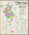
Insurance
maps
of Tarrytown,
New
York
[Page 9]
use:
… partner (e.g.,
New
York
Regni Mexicani seu Novae Hisp…
use:
… partner (e.g.,
New
York
Carte de la Virginie, du Mary…
use:
… partner (e.g.,
New
York
Carta particolare della Virgi…
use:
… partner (e.g.,
New
York
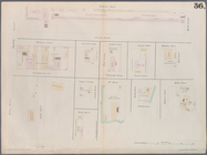
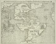
Plate 36:
Maps
Covering Various Areas
use:
… partner (e.g.,
New
York
New
York
city
map
.
use:
… partner (e.g.,
New
York
New
York
city
map
.
use:
… partner (e.g.,
New
York
New
York
City
map
.
use:
… partner (e.g.,
New
York
A
New
chart
use:
… partner (e.g.,
New
York
The State of Virginia from th…
use:
… partner (e.g.,
New
York
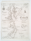
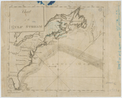
Chart of the Gulf Stream
use:
… partner (e.g.,
New
York
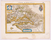
Virginia.
use:
… partner (e.g.,
New
York
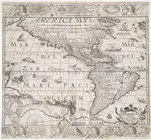
Americae nova descriptio
use:
… partner (e.g.,
New
York
… of
New
York
and Carolina.
use:
… partner (e.g.,
New
York
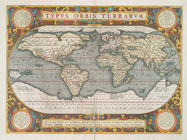
Typus orbis terrarum.
use:
… partner (e.g.,
New
York
Map
of the cities of
New
York
, Jersey City
use:
… partner (e.g.,
New
York
… Anglis
New
-
York
dictae
use:
… partner (e.g.,
New
York
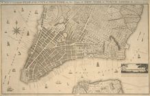
Plan of the city of
New
York
: for the use
use:
… partner (e.g.,
New
York
Plan of the city of
New
-
York
use:
… partner (e.g.,
New
York
Plan of the city of
New
York
use:
… partner (e.g.,
New
York
Plan of the city of
New
York
use:
… partner (e.g.,
New
York
City of
New
-
York
use:
… partner (e.g.,
New
York
Lettering conventional signs
use:
… partner (e.g.,
New
York
Maps
of the City of Brooklyn
use:
… partner (e.g.,
New
York
Maps
of the City of Brooklyn
use:
… partner (e.g.,
New
York
A
map
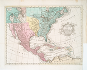
of the United States of America
use:
… partner (e.g.,
New
York
Map
of the western parts of the colony
use:
… partner (e.g.,
New
York
Cessières
use:
… partner (e.g.,
New
York
A
Map
of Carolana and of the River Meschacebe &c.
use:
… partner (e.g.,
New
York
Tabula nouarum insularum, qua…
use:
… partner (e.g.,
New
York
Nova orbis tabvla
use:
… partner (e.g.,
New
York
Virginiae partis australis, e…
use:
… partner (e.g.,
New
York
New
-
York
, N. Jersey and Pennsylvania.
use:
… partner (e.g.,
New
York
… of
New
York
in North
use:
… partner (e.g.,
New
York
Insurance
maps
of Tarrytown,
New
York
[Cover
use:
… partner (e.g.,
New
York
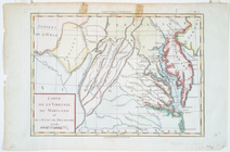
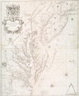
Virginia, Maryland and Delawa…
use:
… partner (e.g.,
New
York
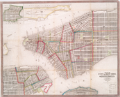
City & county
map
of
New
-
York
, Brooklyn
use:
… partner (e.g.,
New
York
A
new
map
of the most considerable
use:
… partner (e.g.,
New
York
A
new
map
of North America from the latest
use:
… partner (e.g.,
New
York
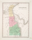
Delaware
use:
… partner (e.g.,
New
York
A
new
map
or chart in Mercators projection
use:
… partner (e.g.,
New
York
A
new
and accurate
map
of North America
use:
… partner (e.g.,
New
York
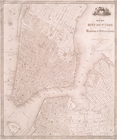
Map
of the city of
New
York
use:
… partner (e.g.,
New
York
New
map
of the city of
New
York
with part
use:
… partner (e.g.,
New
York
Map
of the City of
New
-
York
with part
use:
… partner (e.g.,
New
York
A
map
of Virginia and Maryland
use:
… partner (e.g.,
New
York
The tourist's
map
of the state of
New
York
use:
… partner (e.g.,
New
York
m
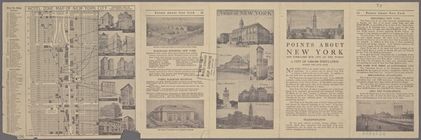
Hotel Zone
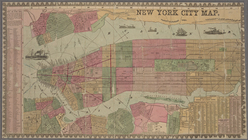
Map
of
New
York
City
use:
… partner (e.g.,
New
York
Plan von der Stadt
New
-
York
.
use:
… partner (e.g.,
New
York
m
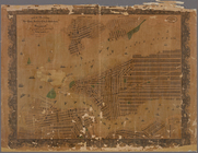
Maps
showing borings in Canal Street
use:
… partner (e.g.,
New
York
1
2
3
4
5
6
7
8
9
10
…
99
100
Previous
Next
1
2
3
4
5
6
7
8
9
10
…
99
100
Previous
Next